Hachimantai
About
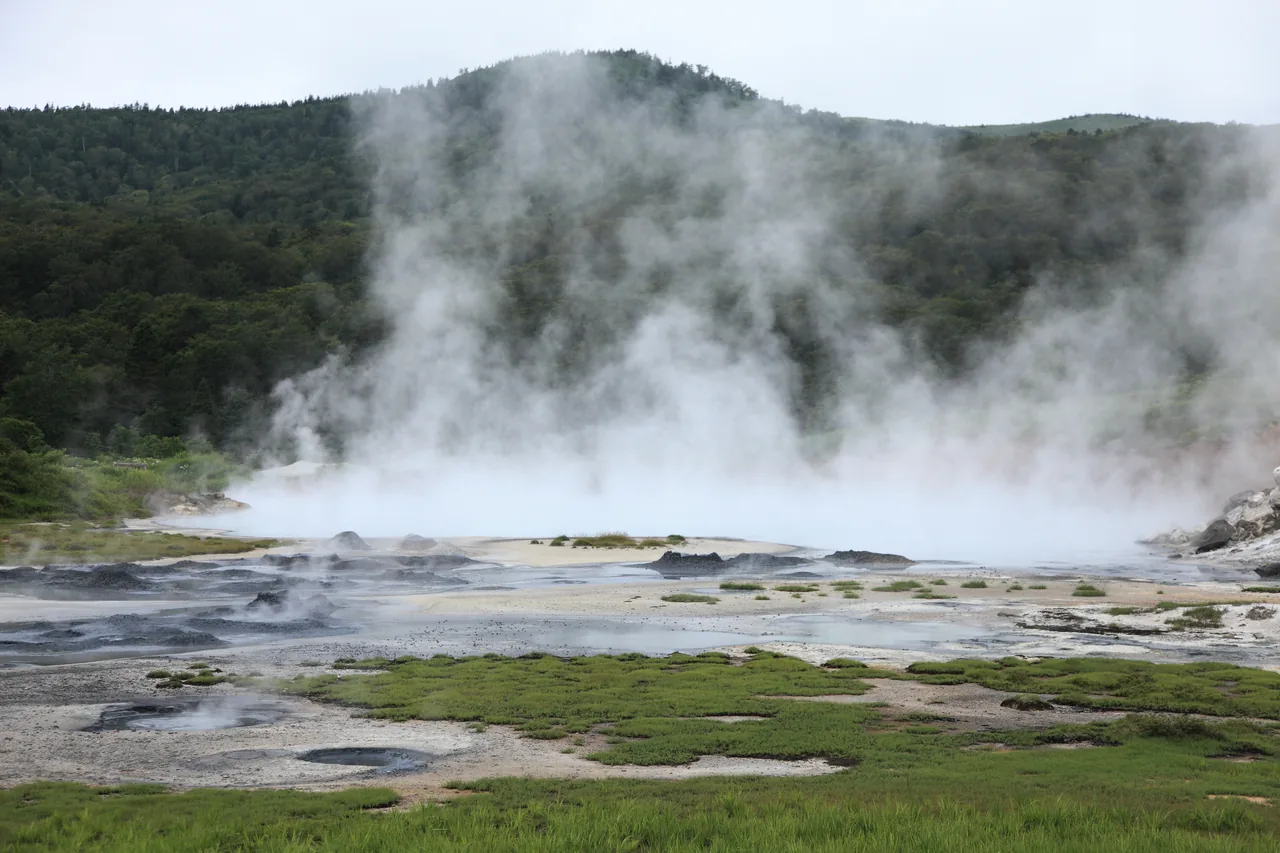
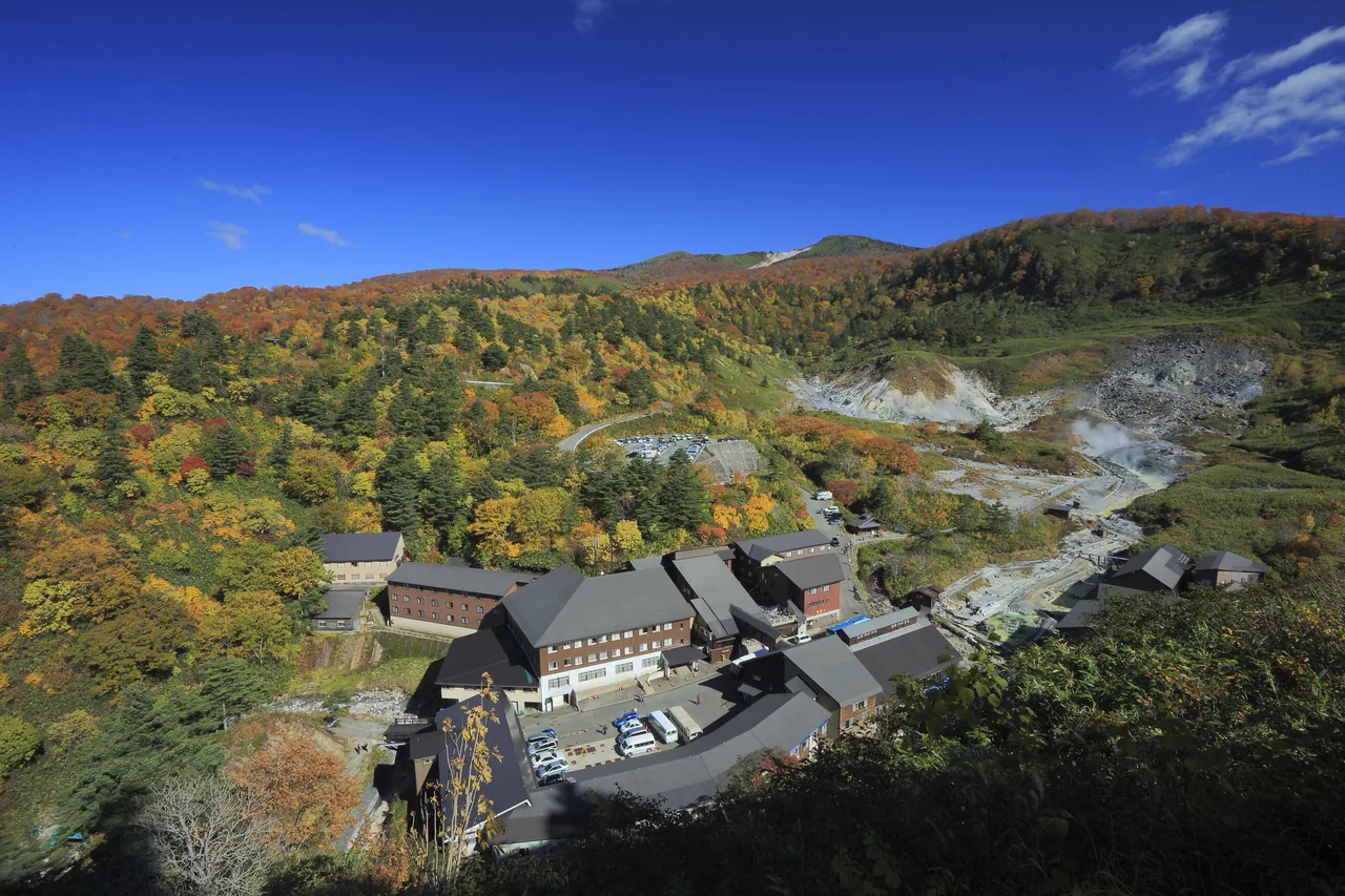
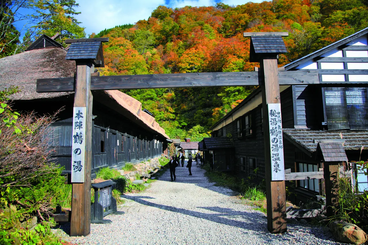
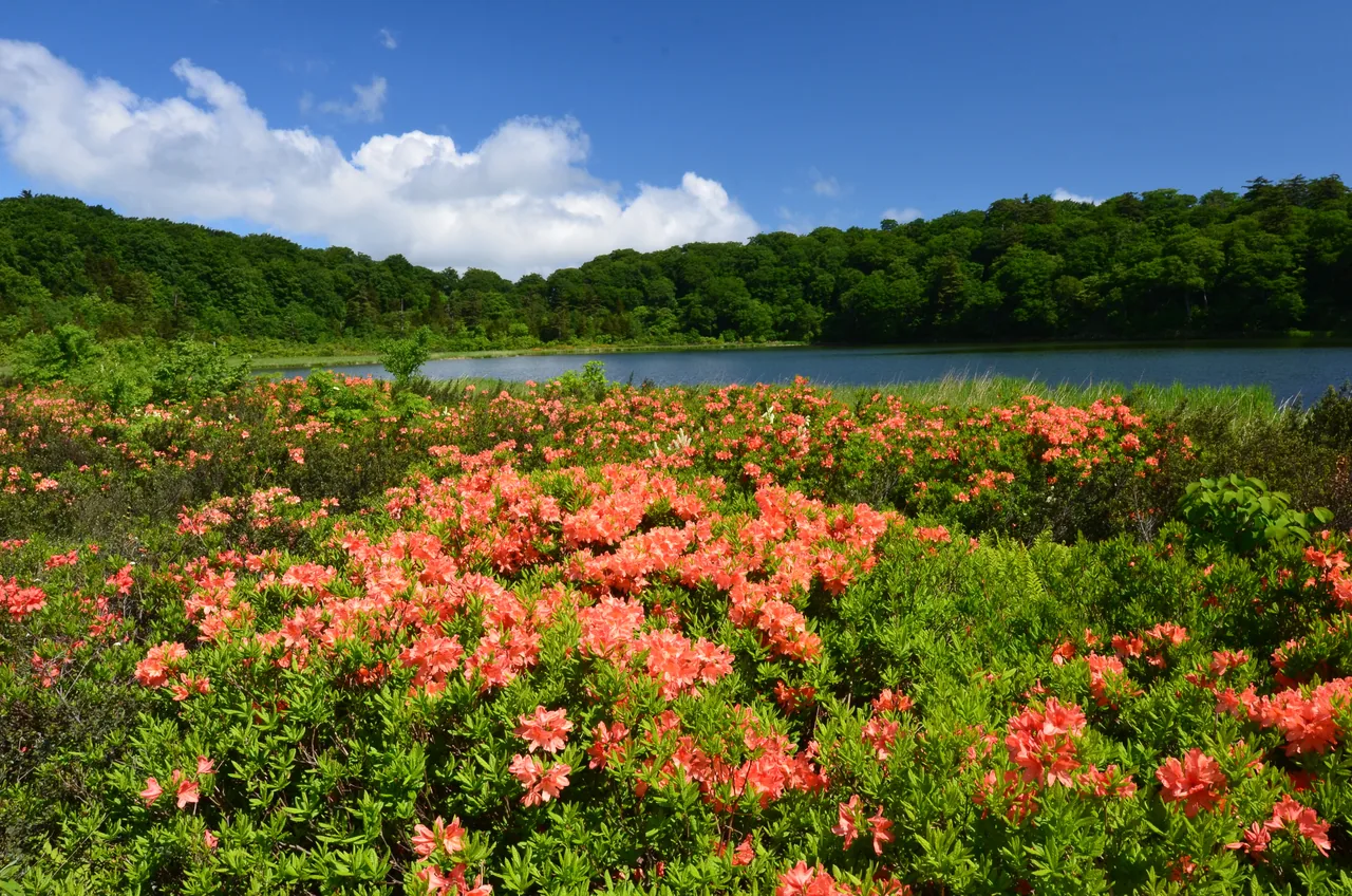
A broad, plateau-like mountain on the border of Akita and Iwate prefectures, within Towada-Hachimantai National Park. Ponds and marshes of all sizes are scattered around the summit area, linked by boardwalks you can follow on foot. The Hachimantai Aspite Line road climbs almost to the top, and visitors come through the seasons for the early-summer thaw, the marsh flowers of summer and the autumn leaves.
This text was translated automatically and may contain errors.
A nature trail past ponds and marshes
The Hachimantai Nature Trail covers the summit area, and as you walk, one pond after another comes into view. The largest is Hachiman-numa, the symbol of Hachimantai, ringed by boardwalks through marshland where hinazakura primroses, cotton grass and other wetland plants bloom. The boardwalk on its south side is known as Kisuge-dori, and day lilies (nikko-kisuge) are at their best from late July to early August.
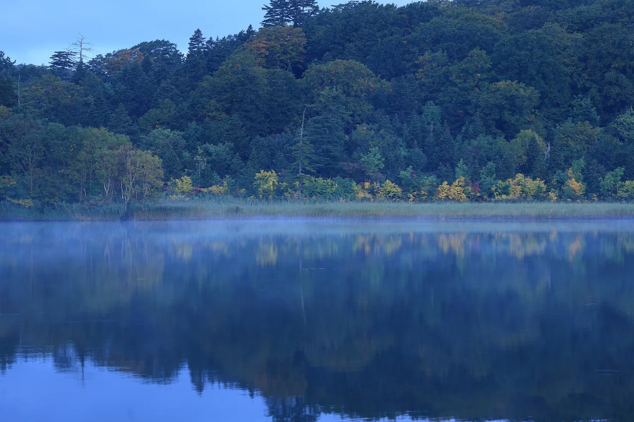
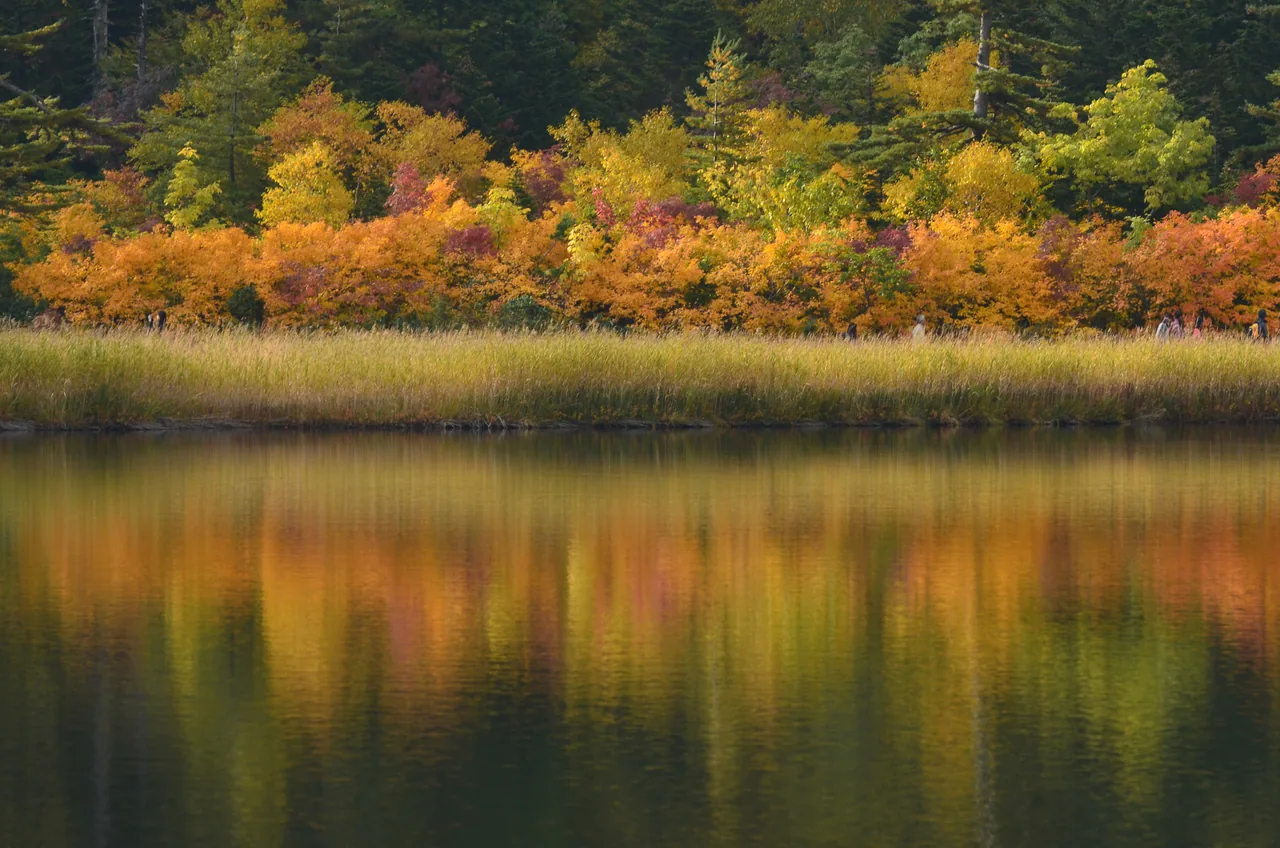
Autumn color around the ponds
In autumn the trees and grasses around the ponds turn yellow and orange, and on calm days they are mirrored perfectly in the water. It stays cool near the summit even in summer, so bring long sleeves and a windproof layer.
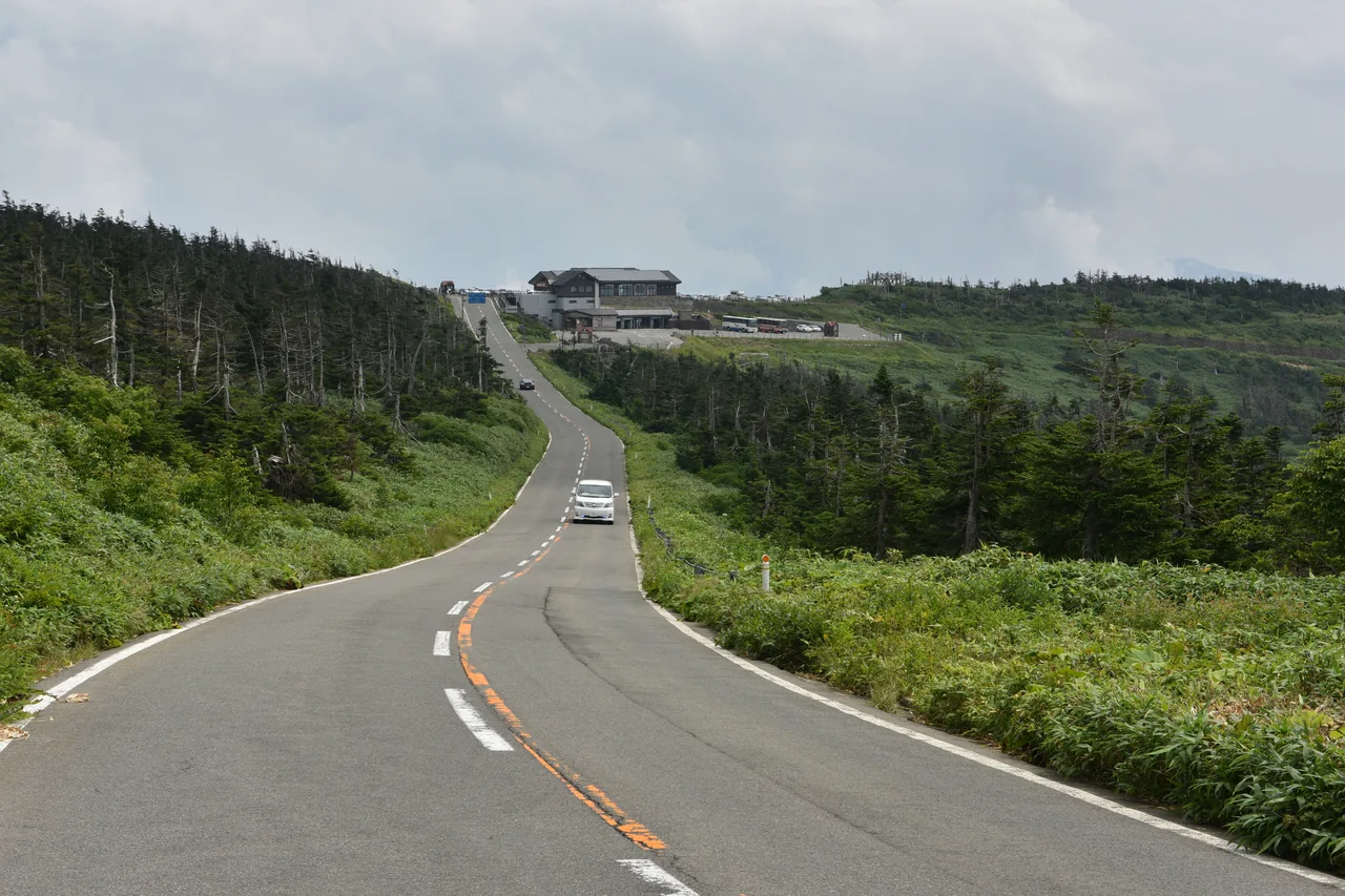
The Hachimantai Aspite Line
The Hachimantai Aspite Line links the Akita and Iwate sides, meeting at Mikaeri Pass near the summit. The road threads its way up slopes of conifers and bamboo grass, and there is an observation deck near the summit. It closes for winter and usually reopens in mid-April.
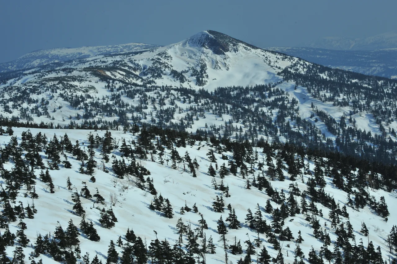
Spring snow and the Dragon Eye
Just after the road opens in mid-April, walls of snow several meters high line both sides, forming a snow corridor, and the surrounding mountains are still white. From late May to early June, the melting snow on Kagami-numa, a crater lake near the summit, forms a ring that looks like a dragon's eye. Snow lingering on the boardwalks can give way underfoot, so wear rubber boots or trekking shoes.
- Access
- By car, take National Route 341 from Kazuno-Hachimantai IC and drive up the Hachimantai Aspite Line. The Aspite Line is normally closed for winter from early November to mid-April, and the exact opening and closing dates change every year. In some seasons the reservation-only Dragon-go shared shuttle runs from JR Kazuno-Hanawa Station to the summit area; check the Kazuno City website for details.