
Mt. Takao Day Trip from Tokyo, Plus Mt. Mitake and Okutama
This guide is translated from the Japanese edition. Read the Japanese edition
Mt. Takao by Keio Line from Shinjuku, Mitake and Okutama by JR: cable car, trails, Yakuoin Temple, Musashi Mitake Shrine, Lake Okutama, crowds and bears.
Ride a fast Keio Line train out of Shinjuku for a little over 40 minutes and the view outside the window turns from office towers to cedar-covered hills. In western Tokyo, Mt. Takao in Hachioji and the mountains and valleys of Ome and Okutama are all close enough for a day hike from the city center. Pick Mt. Takao for an easy mountain walk, or Mt. Mitake and Okutama for quieter forests and rivers.
Mt. Takao or Okutama: which one?
For a first visit, Mt. Takao is the easier choice. A cable car and a chairlift run halfway up, and a mostly paved path leads the rest of the way to the top.
The Okutama side is spread out along the JR Ome Line: Musashi Mitake Shrine on top of 929 m Mt. Mitake, the Mitake Valley along the Tama River, and Lake Okutama, a bus ride from Okutama Station at the end of the line. Getting around takes time, so for a single day choose either Mt. Mitake with the Mitake Valley, or Lake Okutama.
From Shinjuku to Takaosanguchi on the Keio Line
For Mt. Takao, take the Keio Line from Shinjuku Station to Takaosanguchi Station at the end of the line. Kiyotaki Station, where the cable car leaves, is about a five-minute walk from there.
The reserved-seat Keio Liner also runs to Takaosanguchi, and Keio says the fastest trains get there from Shinjuku in a little over 40 minutes. Operating days and times change with the season, so check Keio's official website. You need a seat reservation ticket on top of a regular fare. Stations on the Keio and Inokashira lines also sell the Takao-san Kippu, which combines a discounted round trip to Takaosanguchi with a discounted cable car or chairlift ticket. For how transport IC cards work, see our guide to IC cards in Japan.
Getting up Mt. Takao: cable car, chairlift and trails
Two rides take you from the foot of the mountain to its middle slopes.
- Cable car: About 6 minutes from Kiyotaki Station to Takaosan Station. The line climbs 271 m, and the steepest section is 31 degrees 18 minutes, the steepest gradient of any cable car line in Japan.
- Chairlift: Two-seat chairs run from Sanroku Station to Sanjo Station in about 12 minutes. There is nothing below your feet, so you get the scenery on the way up.
Both accept cash as well as transport IC cards and contactless credit card payment. First and last departures vary by season and day of the week, so if you plan to ride down, look at the timetable on the official site before you go.
On foot, there are three main trails. Trail No. 1 (the Omotesando course) is mostly paved and passes Yakuoin Temple. Trail No. 6 (the Biwa Falls course) follows a stream and stays cool, which makes it good in summer. The Inariyama course climbs a ridge and is the toughest of the three, but the lookout along the way has open views. Ride the cable car up and walk down Trail No. 6, for example, and you won't retrace your steps.
Yakuoin Temple and the summit view
Takaosan Yakuoin sits on Trail No. 1 between the cable car's Takaosan Station and the summit. According to the temple, it was founded in 744 by the monk Gyoki on the order of Emperor Shomu; its full name is Takaosan Yakuoin Yukiji. It is a head temple of the Chisan school of Shingon Buddhism and is also known for its worship of tengu, the long-nosed mountain spirits. Taking off your hat and praying quietly is all the etiquette you need.
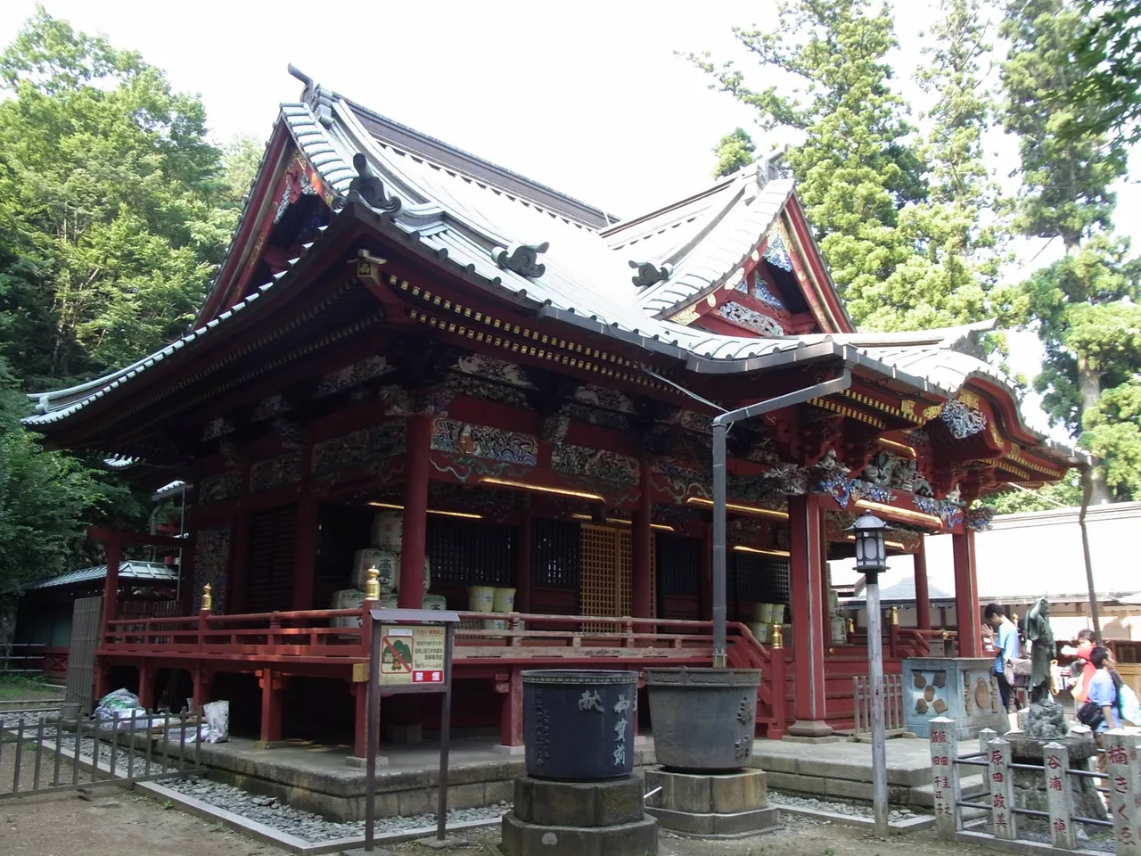
Photo: © TCVB
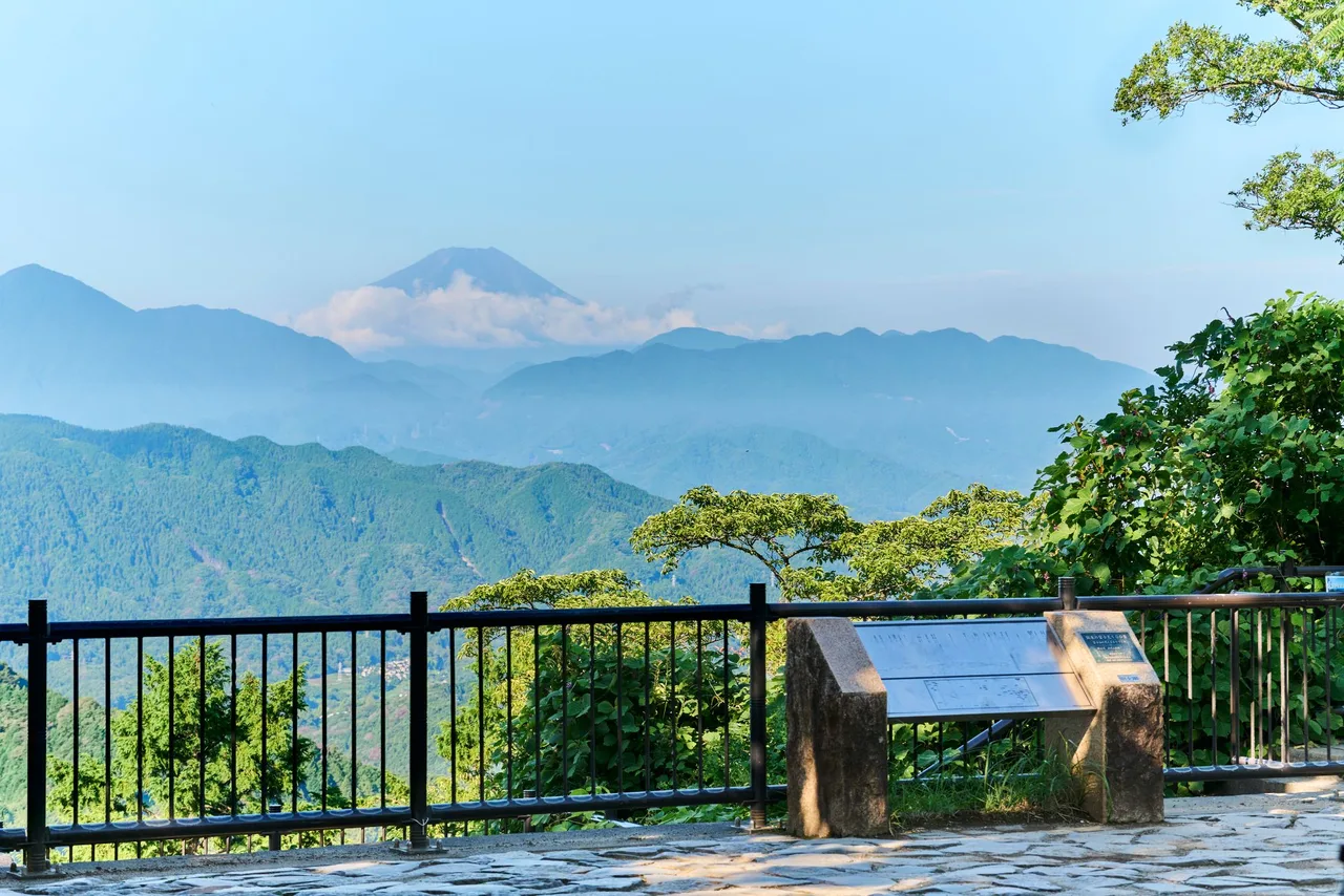
The summit is listed among the "100 Views of Mt. Fuji in the Kanto Region," and on a very clear day you can see Mt. Fuji to the west. Clouds can hide it even when the sky above you is blue, though. If Fuji is the goal, check the forecast for cloud on the Yamanashi side before you set out.
How to avoid the crowds on Mt. Takao
Autumn leaves usually peak from mid-November to early December, and weekends and holidays in that period are the busiest of the year. Takao Tozan Railway says its stations are most crowded from 10:00 to 13:59 and asks visitors to come at other times. Cable car departures can't be reserved, so climb in the morning and come down after the early-afternoon rush has eased to cut your wait.
From summer into autumn, the Takaosan Beer Mount beer garden opens near the cable car's Takaosan Station, at 488 m above sea level. In 2026 it runs from May 30 to November 29, with closed days and hours that differ by month. Check them together with the last cable car down.
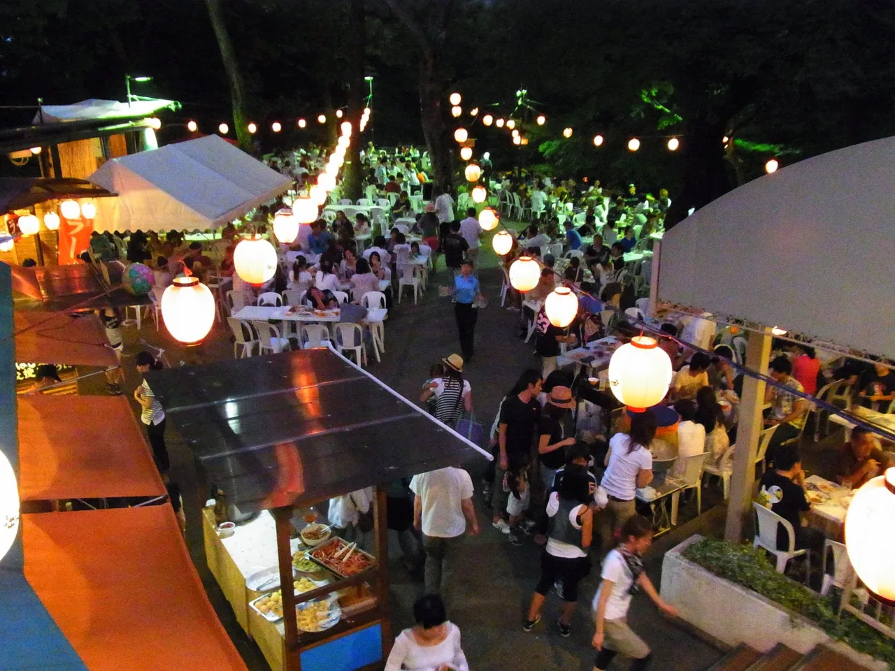
Photo: © TCVB
Mt. Mitake and the Mitake Valley on the Ome Line
For Mt. Mitake, take the JR Chuo Line to Tachikawa, change to the Ome Line and get off at Mitake Station. On Saturdays and holidays, the Holiday Rapid Okutama also runs from Tokyo and Shinjuku stations toward Ome (whether you need to change trains past Ome depends on the train, so check the JR East timetable).
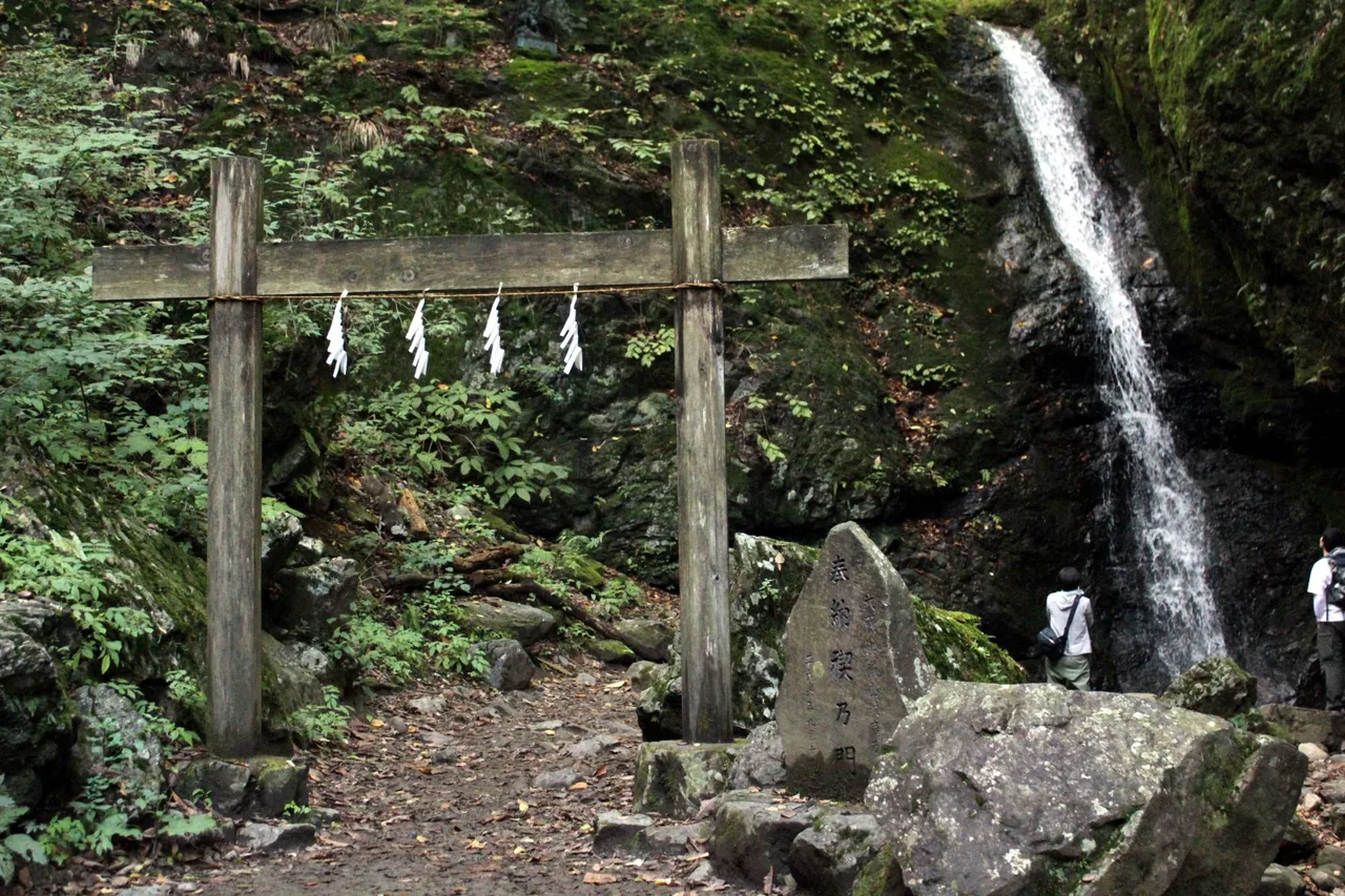
Photo: © TCVB
From Mitake Station, a Nishi Tokyo Bus takes about 10 minutes to the Cable-shita stop, next to Takimoto Station on the Mitake Tozan Railway. The cable car climbs to Mitakesan Station in about 6 minutes, and from there it's about a 25-minute walk to Musashi Mitake Shrine. The path starts out flat, turns into a steep slope once you reach the village of pilgrim lodges, and ends with about 330 stone steps. The shrine honors a wolf deity known as Oinu-sama and also offers blessings for dogs, so meeting people with their dogs on the grounds is nothing unusual.
If you have time left, walk down to the Mitake Valley, where the Tama River flows just below Mitake Station. Paths run along both banks, and you can reach the water within a few minutes of leaving the station. Some stretches are rocky and uneven, so wear at least sturdy sneakers.
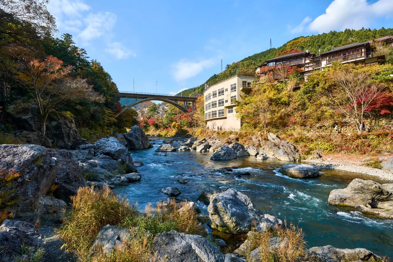
Photo: © TCVB
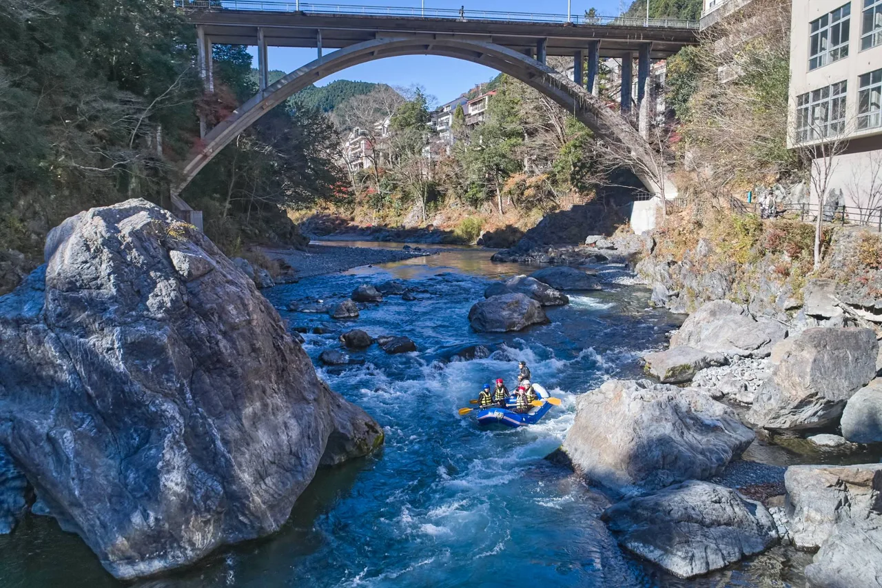
Photo: © TCVB
From Okutama Station to Lake Okutama
From Okutama Station at the end of the Ome Line, a Nishi Tokyo Bus takes about 20 minutes to the Okutama-ko stop. Lake Okutama is a reservoir held back by Ogochi Dam and used only for Tokyo's water supply; the dam was completed in 1957. It stands 149 m high. Mountains surround the lake, and the sounds of the city barely reach it.
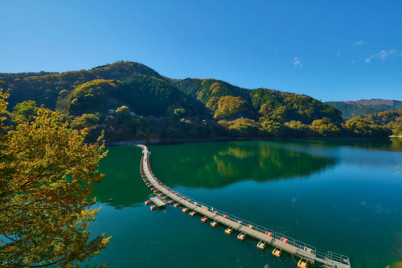
Photo: © TCVB
On the Tama River around Okutama Station, rafting and other river activities are popular. Seasons, age limits and meeting points differ by operator, so read each company's information before you book.
A further trip: Ishifune Bridge in the Akigawa Valley
Change from the Ome Line to the Itsukaichi Line at Haijima Station and ride to Musashi-Itsukaichi Station at the end of the line. A bus from the station to the Jurigi stop brings you to Ishifune Bridge, a pedestrian-only suspension bridge about 96 m long over the Aki River. There is a hot spring facility on the far bank, and the area around the bridge is known as one of the Akigawa Valley's autumn-leaf spots. Some buses don't stop at Jurigi, so check the destination before boarding.
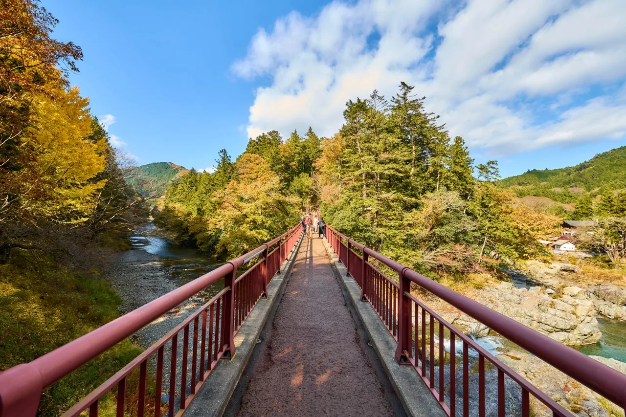
Photo: © TCVB
Before you go: weather, bears, shoes and the last train
- Bears: Both Mt. Takao and Okutama are home to Asian black bears. Hachioji City announced that a bear was filmed near Trail No. 1 on Mt. Takao in August 2026, and in May 2026 a hiker was attacked and injured by a bear in Okutama Town. Make noise with a bear bell or similar, don't hike alone, and stay off the mountains in the early morning and from evening on, as the Tokyo government and the town advise.
- Shoes and gear: Even if Trail No. 1 is mostly paved, Trail No. 6 and the stone steps on Mt. Mitake get slippery when wet. Bring comfortable walking shoes, rain gear, water and a light in case you're out after sunset.
- Weather: Mountain weather turns faster than in central Tokyo, and fog or rain can lead hikers off the trail. If rain is forecast, save the valley paths and longer climbs for another day.
- The way back: From Okutama or Mt. Mitake you return by a chain of cable car, bus and Ome Line train. Miss one and you wait for the next, so look up return times before you leave. The last cable car changes with the season.
Official information to check before you go
- Takao Tozan Railway (cable car and chairlift)
- Takaosan Yakuoin
- Keio Corporation: Takao area
- Mitake Tozan Railway
- Musashi Mitake Shrine: access
- Bureau of Waterworks, Tokyo: Ogochi Reservoir (Lake Okutama)
- Akiruno City: Ishifune Bridge area
- Tokyo Bureau of Environment: bear safety for hikers
Back in the city in the evening, you can find somewhere to go next in our list of Tokyo spots.