Kisakata Kujukushima Islands
About
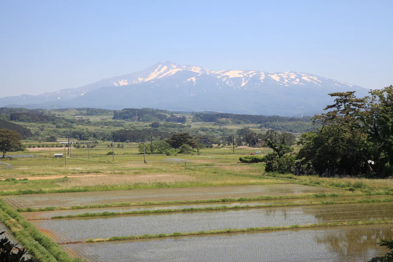
At the foot of Mt. Chokai, in Kisakata in Nikaho City, dozens of small pine-topped hills seem to float on the rice fields. This was once a lagoon full of islands, a scenic spot compared to Matsushima, but a great earthquake in 1804 lifted the land and turned it into dry ground. About 65 of the former islands remain among the paddies, and the area is a national Natural Monument under the name Kisakata. When the fields are flooded for rice planting, the islands are reflected in the water and you can picture the old lagoon.
This text was translated automatically and may contain errors.
Islands and Mt. Chokai reflected in the paddies
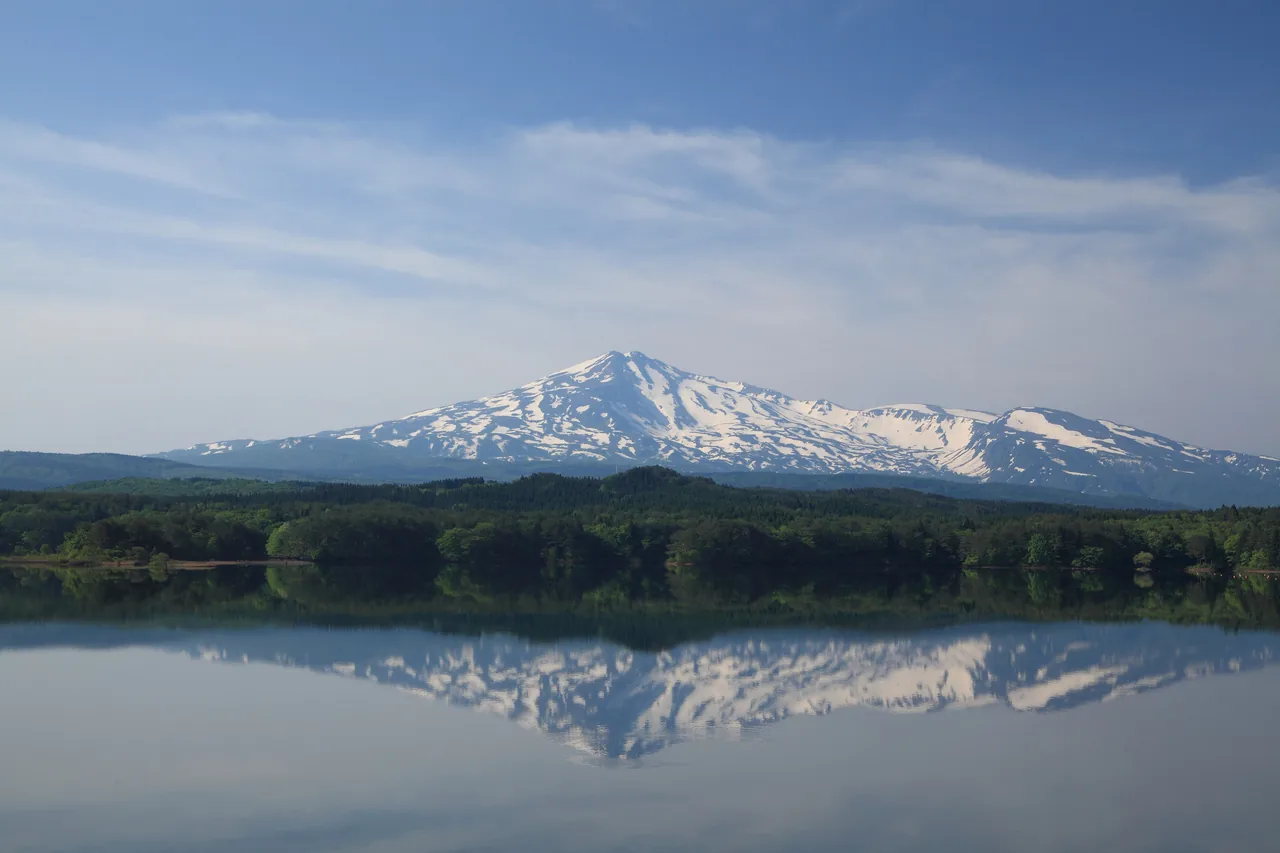
In spring, when the fields are flooded, the pine-covered islands look as if they are floating on the water. On clear days, snow-capped Mt. Chokai rises behind them. The islands began as nagareyama, mounds of debris carried by a volcanic mudflow, which were left standing in the sea.
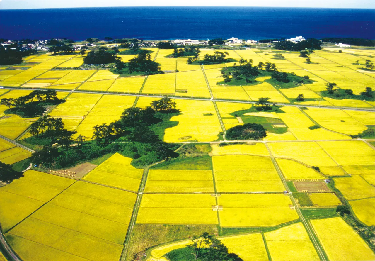
Harvest season
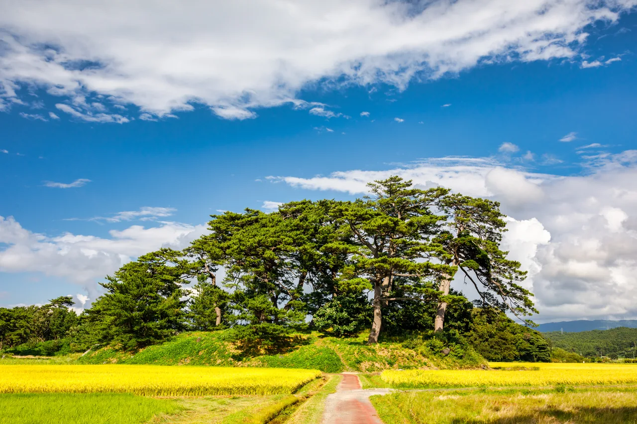
From summer into autumn, as the rice grows, the islands float in a sea of green and then gold. From the air you can see the Sea of Japan just beyond the fields, which makes it easy to imagine this was once water. Shells found in the mud beneath the paddies show that it used to be a shallow seabed.
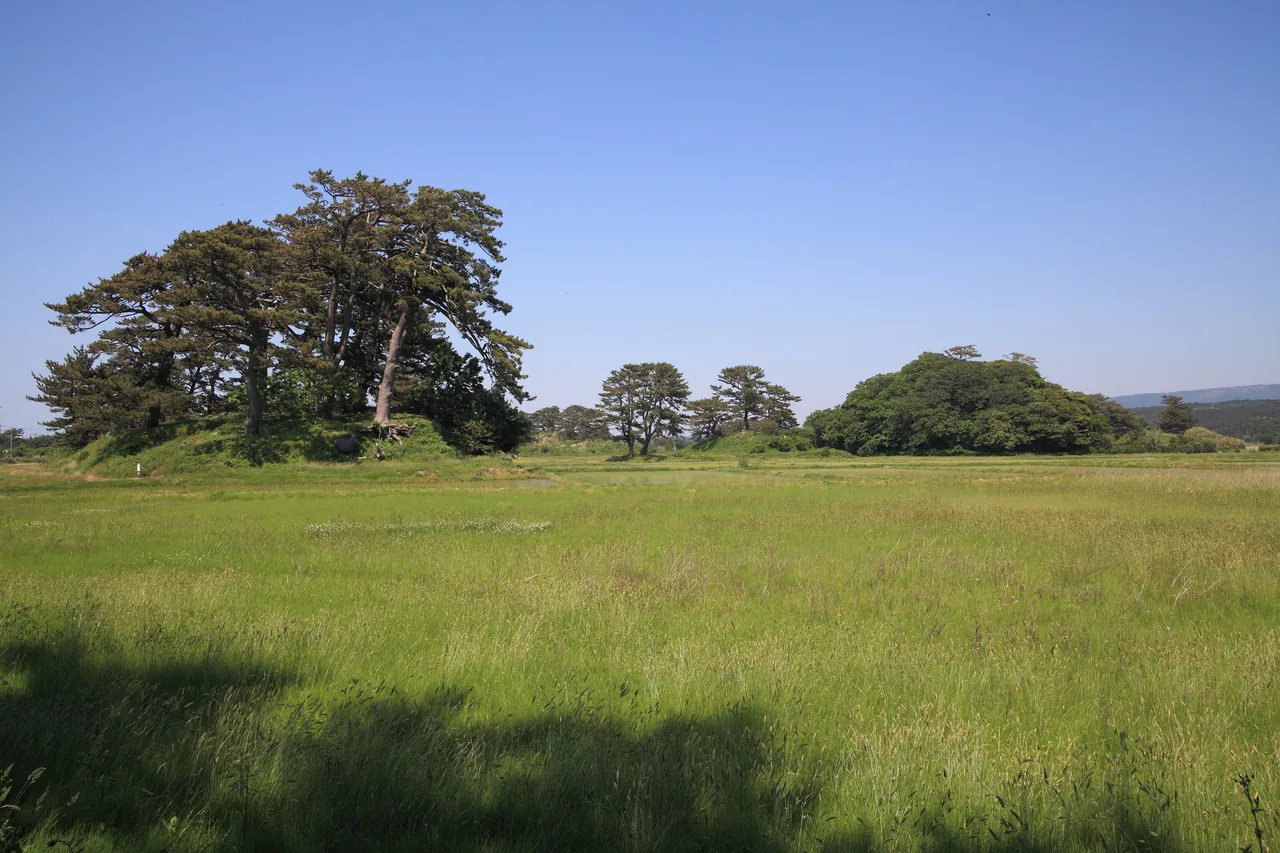
Once islands, now hills
Up close, each island is a small mound rising out of grassland or paddy. After the earthquake drained the lagoon, it was gradually turned into rice fields. The landscape has changed completely, but the pines on the mounds still recall the days when they were islands.
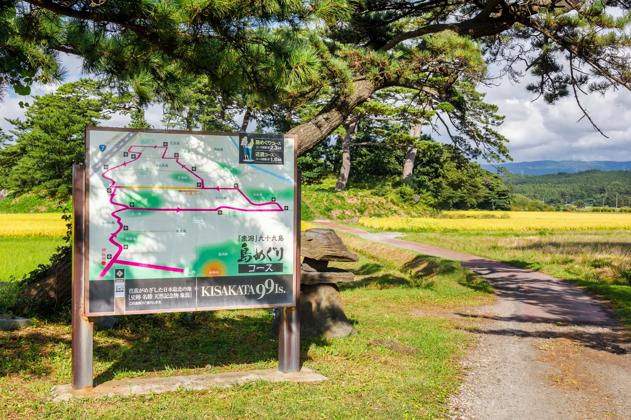
Walking among the islands
A walking course runs between the fields past the islands, with map boards along the way. The rice fields are private farmland, so stay on the paths and roads and do not walk on the ridges between paddies.
- Access
- The nearest station is Kisakata Station on the JR Uetsu Line.