Mount Chokai
About
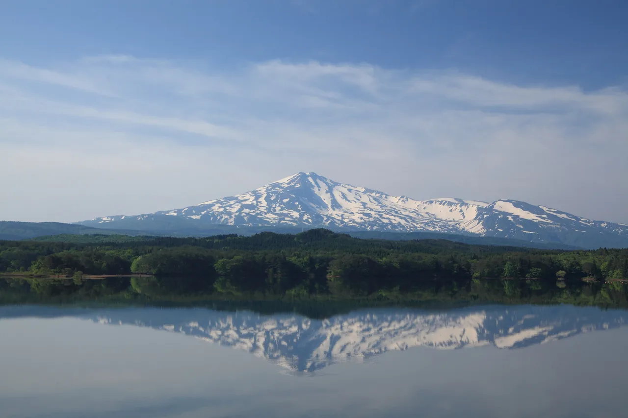
A 2,236-meter mountain on the border of Akita and Yamagata prefectures. It is the second-highest peak in Tohoku, and its long, even slopes have earned it the name Dewa Fuji. From the farmland of Yurihonjo City you see it head-on, capped with snow into early summer, and you can drive up to Haraikawa at the fifth station, the starting point for climbs to the summit.
This text was translated automatically and may contain errors.
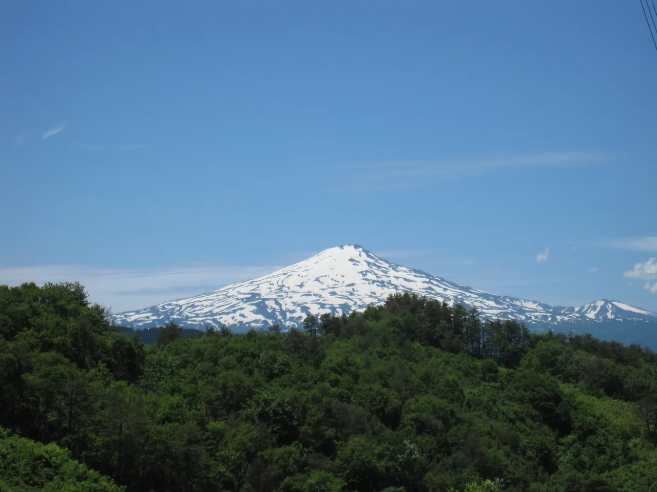
A snowy peak above the forest
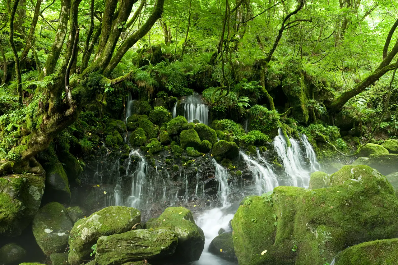
In May and June, when the forests at the foot of the mountain turn fresh green, thick snow still lies on Mount Chokai's upper slopes. The contrast of green and white is sharp, and it is the season when the mountain's sheer size is easiest to grasp. Snowfields linger on the Yashima route from Haraikawa until late May, and people use them for spring skiing.
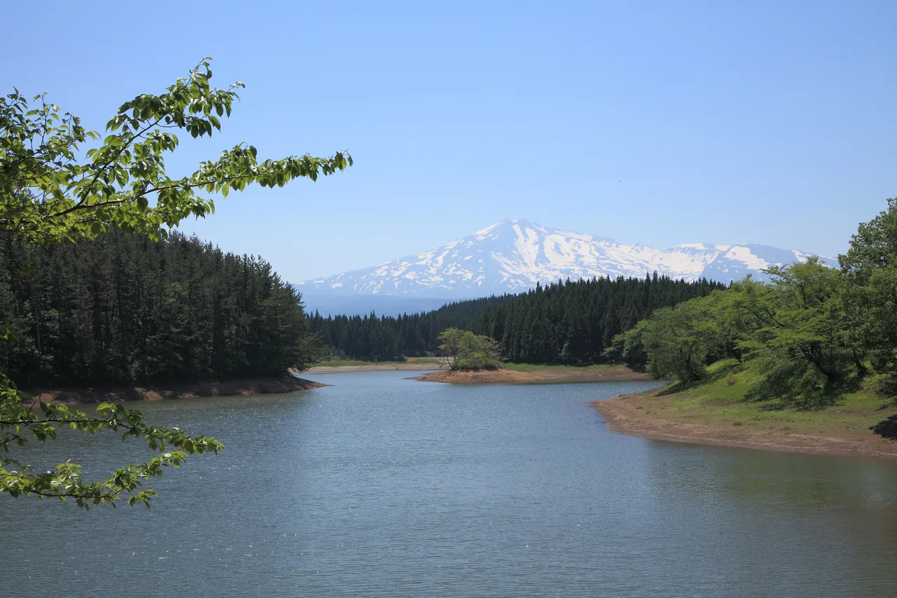
Haraikawa and Ryugahara Marsh
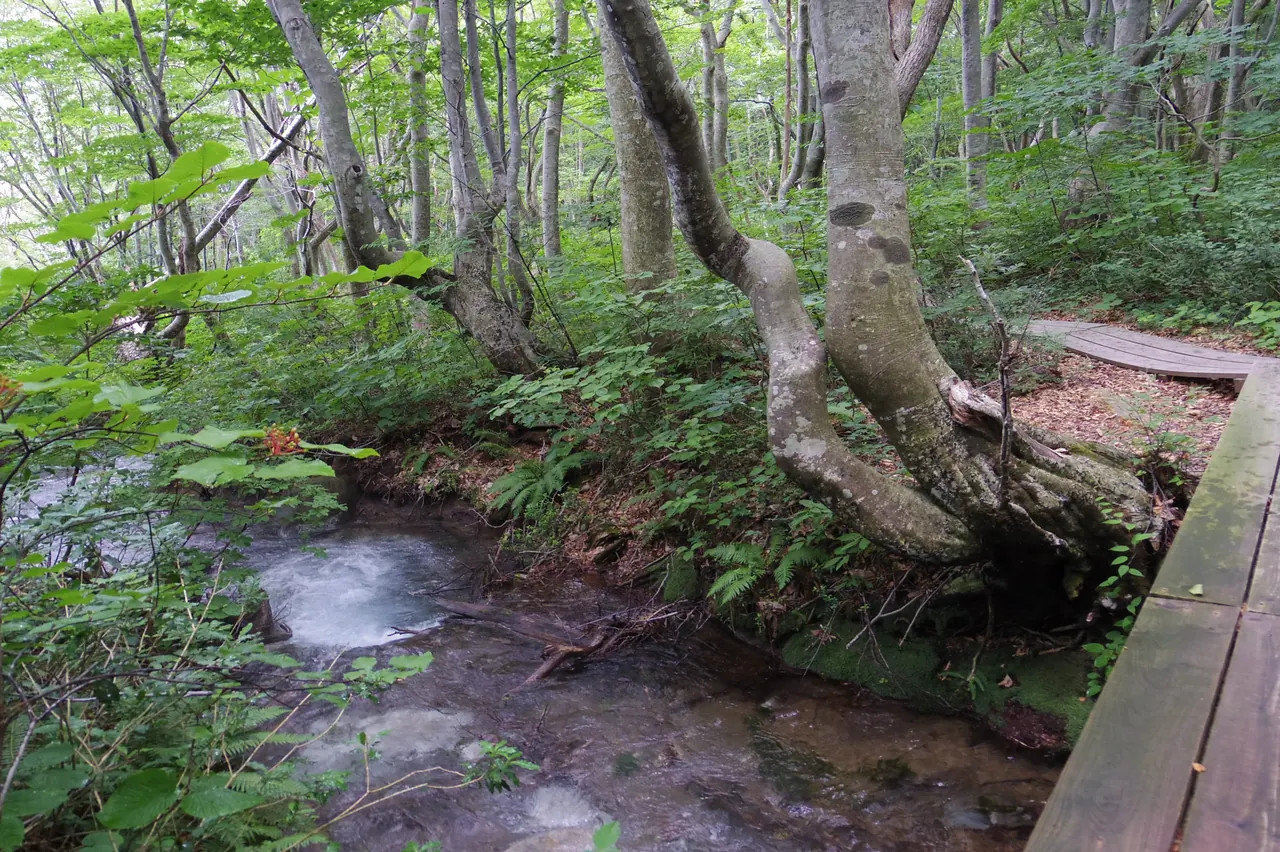
Haraikawa, where the road ends, is the base for climbers on the Yashima route. Right next to it is Ryugahara Marsh, a raised bog. Entering the marsh itself is not allowed, so enjoy it from the designated areas. From Haraikawa to Shichikozan, the highest point on the summit ridge, is about 4.4 km; plan any climb with proper gear and plenty of time.
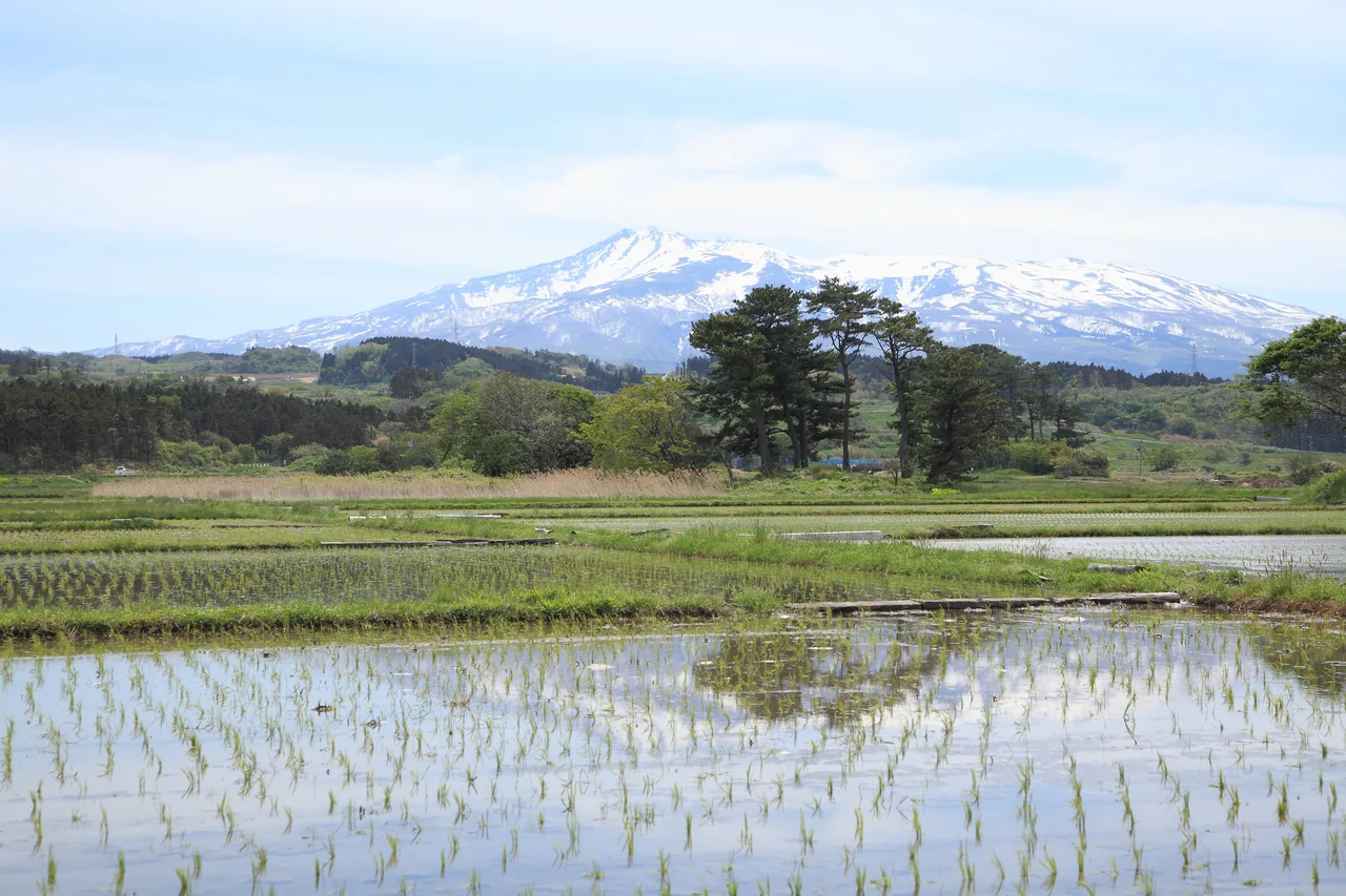
Dewa Fuji in the rice paddies
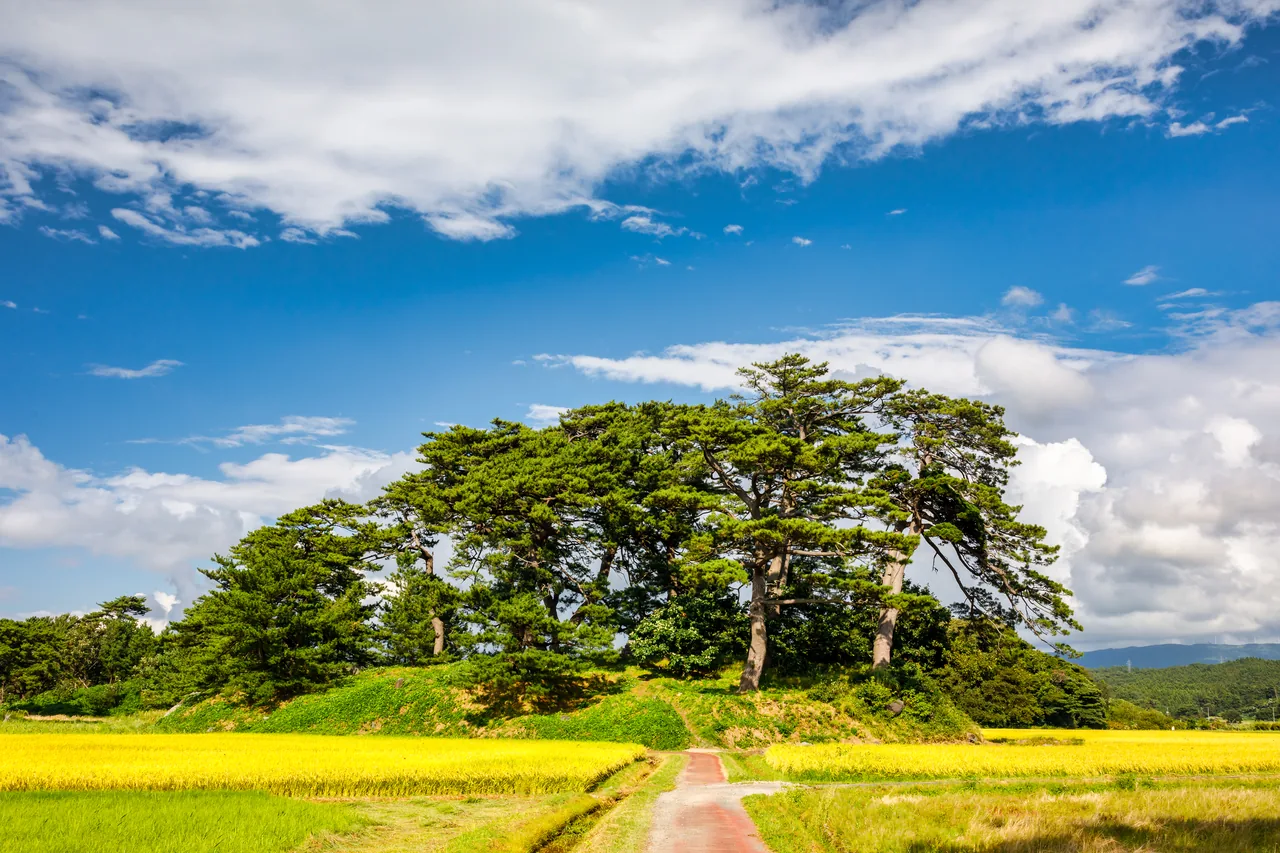
Around May the rice paddies at the foot of the mountain in Yurihonjo are flooded, and on still days the snowy peak is mirrored in the water. Seen together with the pine groves and villages below, it is a way to enjoy Mount Chokai without climbing it. In some years a shuttle bus has run to the Yashima trailhead and Ryugahara Marsh during the Golden Week holidays.
- Access
- On the Yurihonjo side, the main trailhead is the Yashima route from Haraikawa (fifth station), the oldest trail on the Akita side. It is about 50 minutes by car from Yashima Station on the Yuri Kogen Railway Chokai Sanroku Line. The road to Haraikawa is closed in winter, so check road conditions on the Yurihonjo City website.