Mt. Kurikoma
About
Mt. Kurikoma is a volcano on the border between Akita and Iwate. From the Akita side you can drive close to the border on National Route 342 through Higashinaruse Village. Autumn is the best season, when the slopes turn red and gold, and hiking routes pass wetlands and a lake formed by volcanic activity. It is an active volcano covered by the Japan Meteorological Agency's eruption alert levels, and parts of the trails are sometimes closed because of volcanic gas. Check closures and road conditions on official sources before you go.
This text was translated automatically and may contain errors.
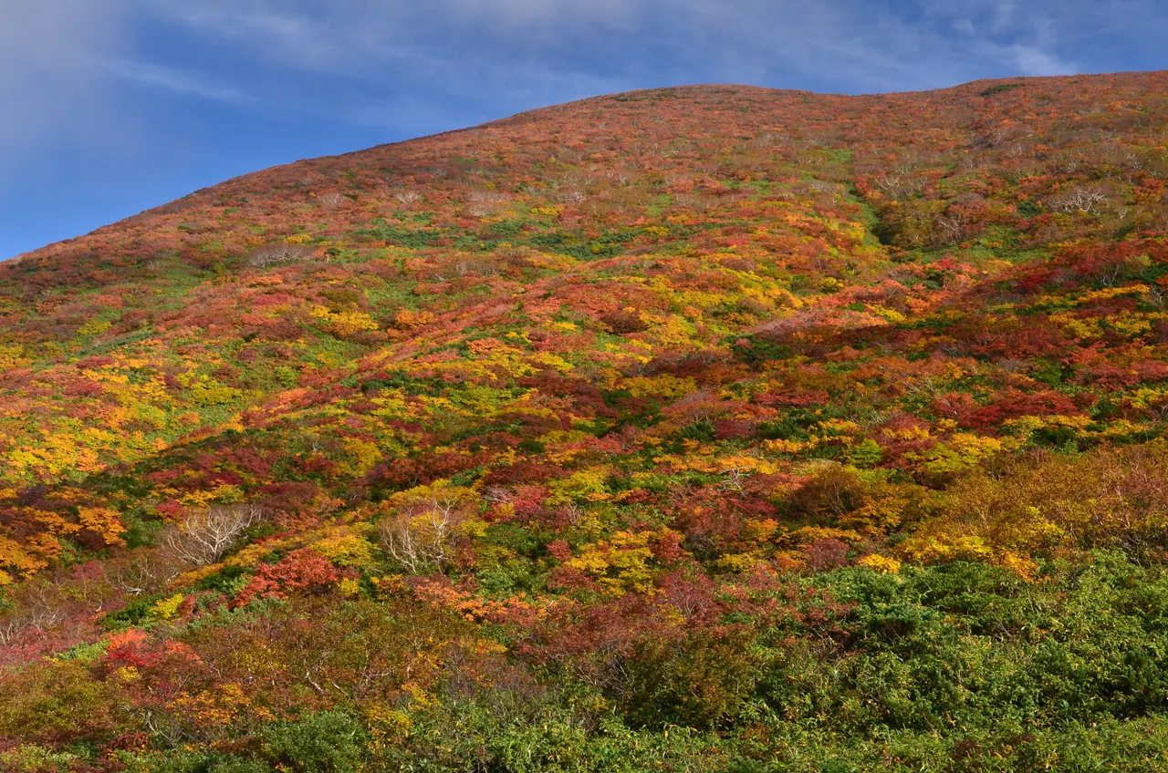
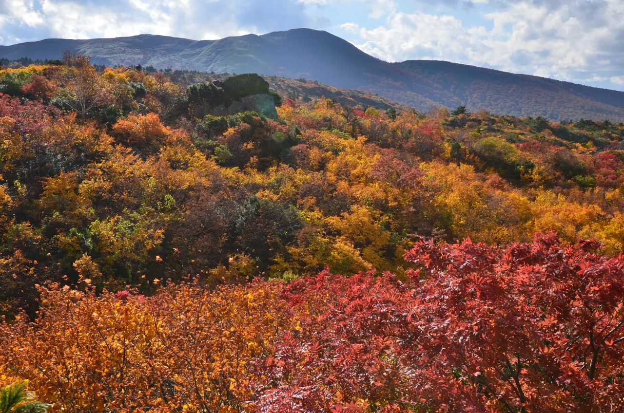
Slopes in autumn colors
In autumn the low shrubs on Mt. Kurikoma turn red, orange and yellow until the whole mountainside looks like brocade.
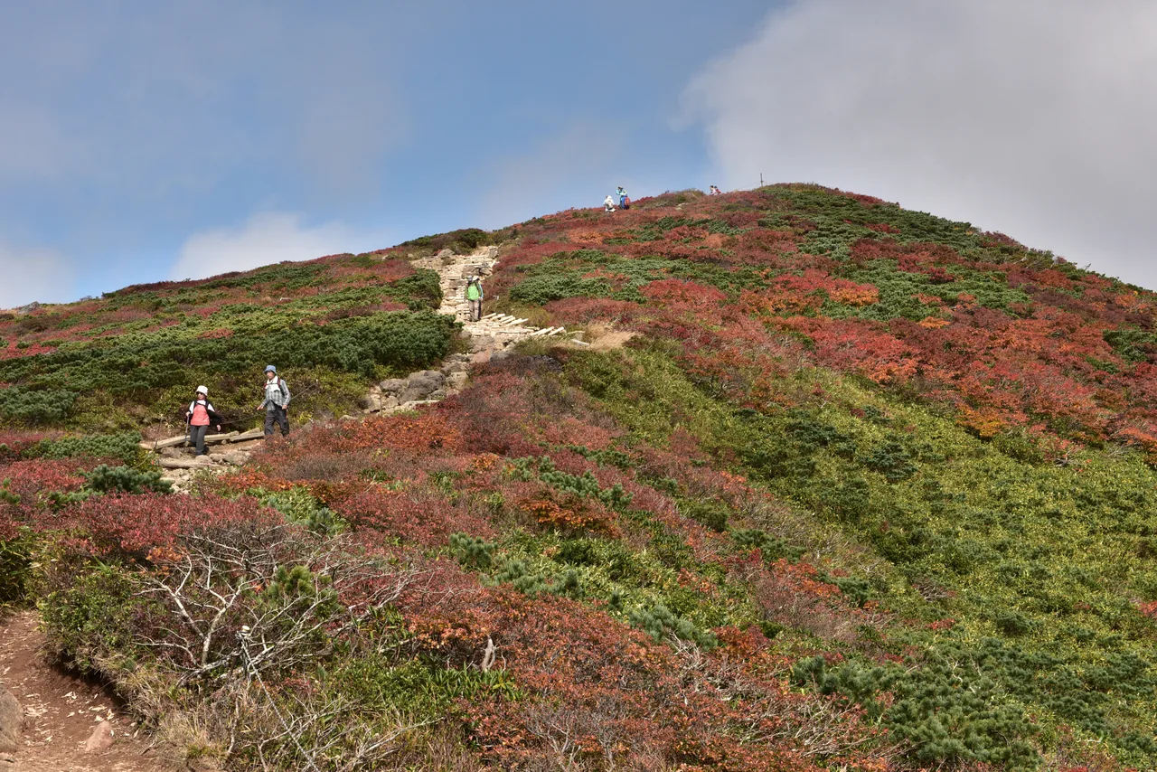
The Sukawa Course and volcanic gas
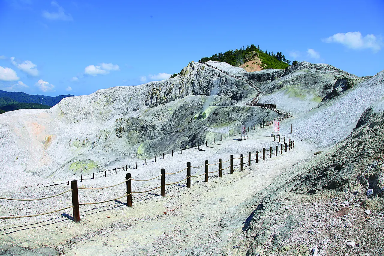
Part of the Sukawa Course, which climbs to the summit from Sukawa on the prefectural border, was closed as a precaution against volcanic gas, and reopened on July 18, 2026. It closed again for winter on October 15, 2026 (according to Iwate Prefecture). Showa Lake along the way is a lake formed by a steam eruption in 1944. Restrictions change with volcanic activity, so check the latest information before you go.
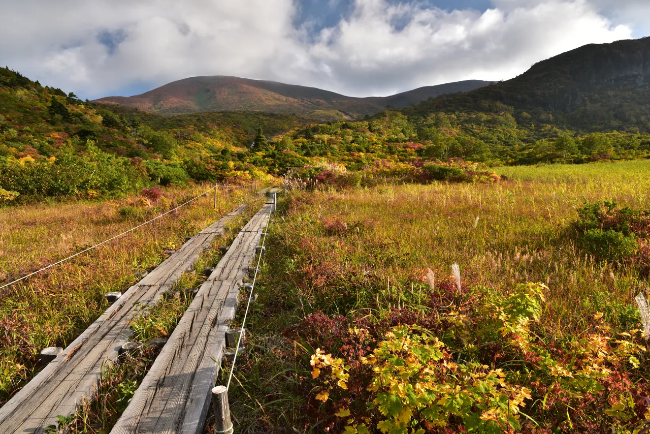
Boardwalks across the wetlands
There are also wetlands on the mountain, and boardwalks let you look out over the autumn grasses. Stay on the boardwalk and do not step into the wetland.
- Access
- From the Akita side, drive up National Route 342 from Higashinaruse toward Sukawa on the prefectural border. The section of Route 342 near the border is closed in winter. In 2026 the winter closure started at noon on November 4 for the stretch from the Koroka-yama Tunnel to the Iwate border, and starts at noon on November 16 for the stretch from the Soil-Mounding Gate up to the tunnel. The spring reopening date varies from year to year, so check announcements from Yuzawa City, Higashinaruse Village and Akita Prefecture.