Sasagawa Nagare Coast
About
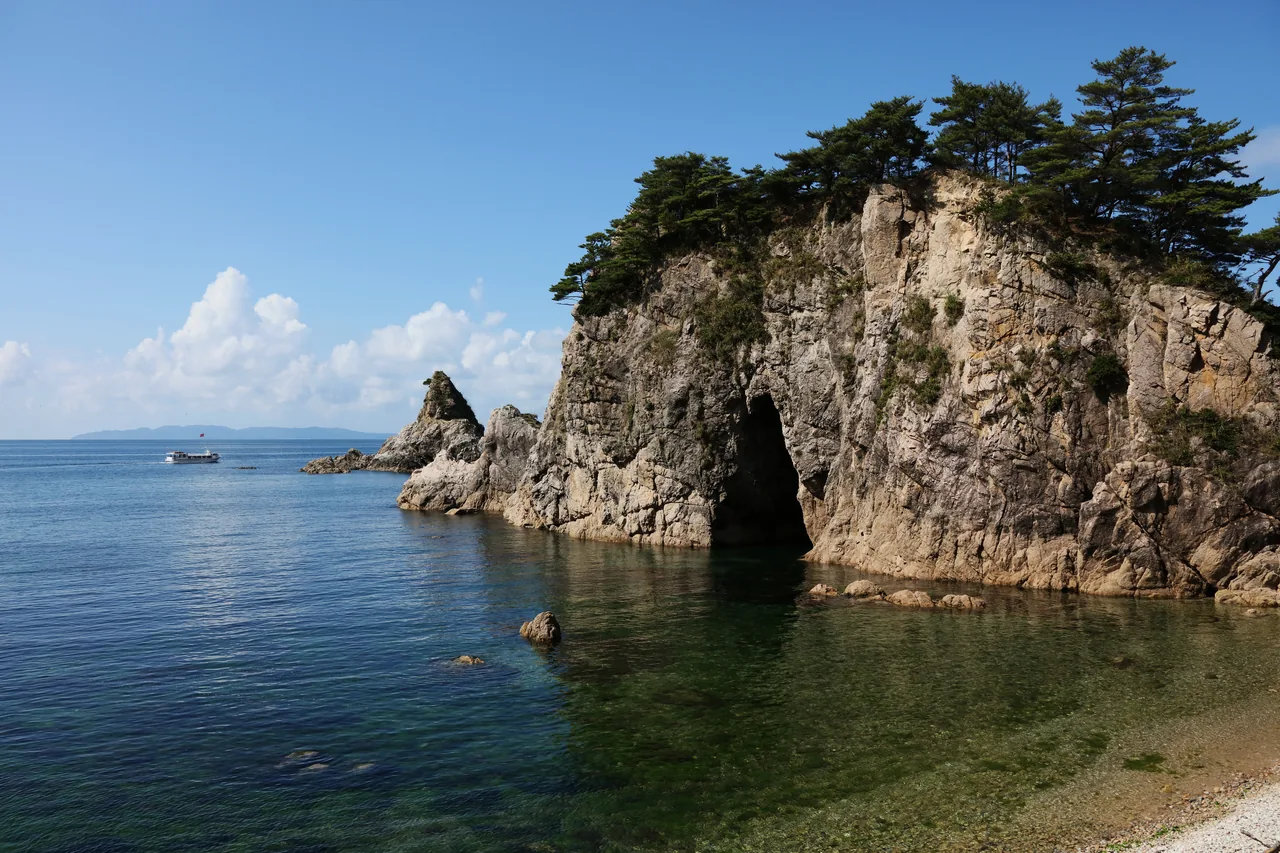
This stretch of coast runs for about 11 kilometers along the Sea of Japan in northern Murakami, close to the border with Yamagata, and is a national Place of Scenic Beauty and Natural Monument. The name describes the tidal currents that seem to swell as they flow between the rocks, named after Sasagawa, the village at its center. Strange rock formations and sea caves line the clear water. You can take in the views from the coast road or board a sightseeing boat from Kuwagawa harbor to get close to the rocks. Many of them, such as Megane-iwa ("Spectacles Rock"), are named for their shapes.
This text was translated automatically and may contain errors.
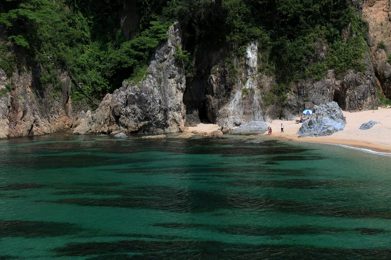
Clear water in summer
In summer the sea is so clear that you can see the bottom right up to the rocks. On bright days the turquoise shallows and the deep blue offshore separate sharply, and you will want to pull over even while driving the coast road.
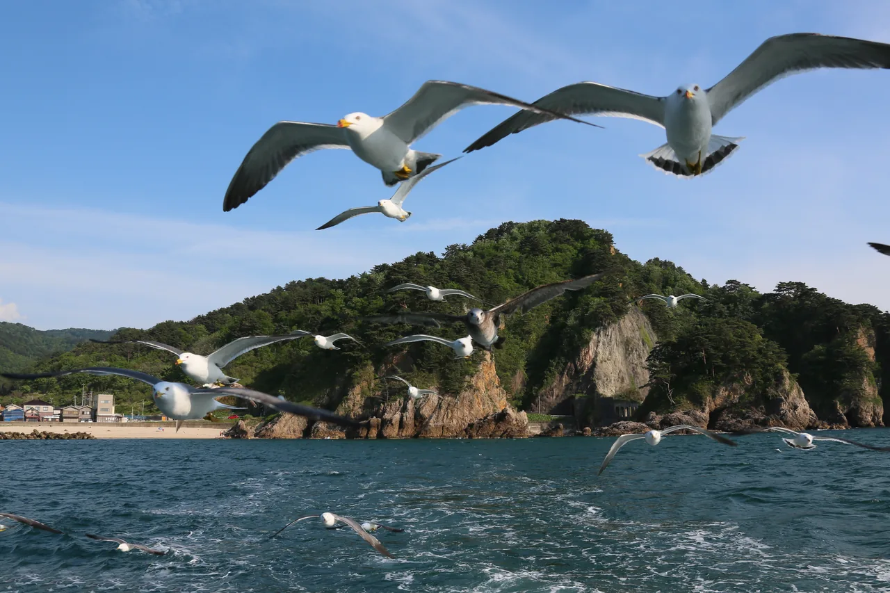
The coastline in spring
Spring brings more calm days, a good time for taking in the coastline at an easy pace. The green on the rocks begins to deepen, standing out against the blue of the sea. If you take the boat, choose a calm day and it can get close to the rocks and caves.
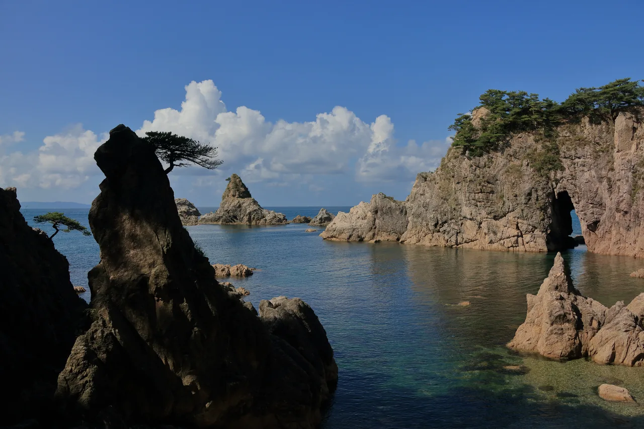
Rocks and the Sea of Japan in autumn
In autumn the air turns clear and the outlines of the rocks stand out far along the coast. The shore faces west onto the Sea of Japan, so on fine evenings you can watch the sun sink into the sea. Park around the roadside station and combine a walk on the rocks with the sunset.
- Access
- The sightseeing boat pier and the Sasagawa Nagare roadside station are near Kuwagawa Station on the JR Uetsu Main Line. Boats do not sail in strong wind or high waves, so check on the day.