Akita Autumn Leaves: Six Spots and When They Peak
This guide is translated from the Japanese edition. Read the Japanese edition
Akita autumn leaves from Hachimantai in late September to Dakigaeri Gorge in early November: peak times for six spots, the boat to Komatakyo, and road closures.
At the end of September, the grasses around the ponds on the summit of Hachimantai turn yellow first, and autumn in Akita begins at the top of the mountains. The color then works its way down from the high peaks to the valleys near the towns over about six weeks. From late September to early November, if you shift your timing, you can find somewhere at its peak. The six spots turn at slightly different times: mountaintop wetlands, a gorge at the far end of a lake reached by boat, a valley wrapped in hot-spring steam, and a gorge with a blue river running through it.
When Do Akita's Autumn Leaves Peak?
As a rough guide, the mountaintops peak from late September to early October, and the gorges from mid-October to early November. The table below shows the usual timing given by each municipality or national agency. Actual color can shift by about a week depending on the year's temperatures, so check local foliage reports before you go.
| Spot | Area | Usual peak |
|---|---|---|
| Hachimantai (around the summit) | Kazuno City | Late September (wetland grasses) |
| Mount Kurikoma | Higashinaruse Village | Near the summit: end of September to early October |
| Lake Taiheiko | Kitaakita City | October |
| Komatakyo Gorge | Kitaakita City | Mid to late October |
| Oyasukyo Gorge | Yuzawa City | Mid-October to early November |
| Dakigaeri Gorge | Semboku City | Mid-October to early November |
Hachimantai: Autumn Starts at the Ponds and Wetlands
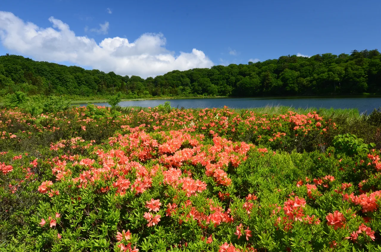
Hachimantai is a gently rolling, plateau-like mountain on the border of Akita and Iwate. Ponds and wetlands large and small are scattered around the summit, and you can walk between them on the boardwalks of the Hachimantai Nature Trail. According to the Hachimantai Visitor Center, the wetland grasses around the summit usually peak in late September, and the color then spreads to the trees on the slopes.
On a still morning, the yellow and orange trees and grasses are reflected in the ponds. By car you can drive the Hachimantai Aspite Line up to Mikaeri Pass near the summit, but the road usually closes for winter from early November. It gets cold near the summit even on autumn afternoons, so bring a windproof jacket.
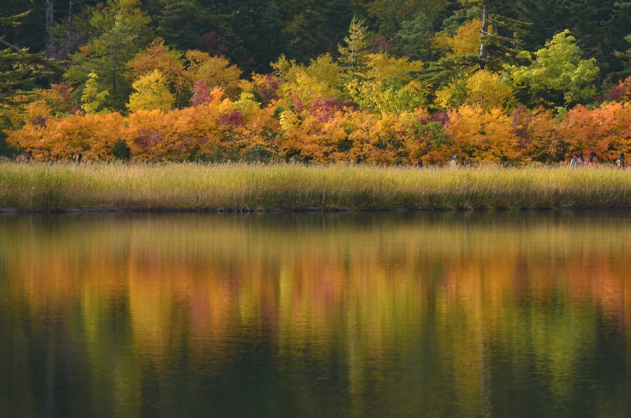
Photo: Akita Prefecture
Mount Kurikoma: Whole Slopes Turn Color
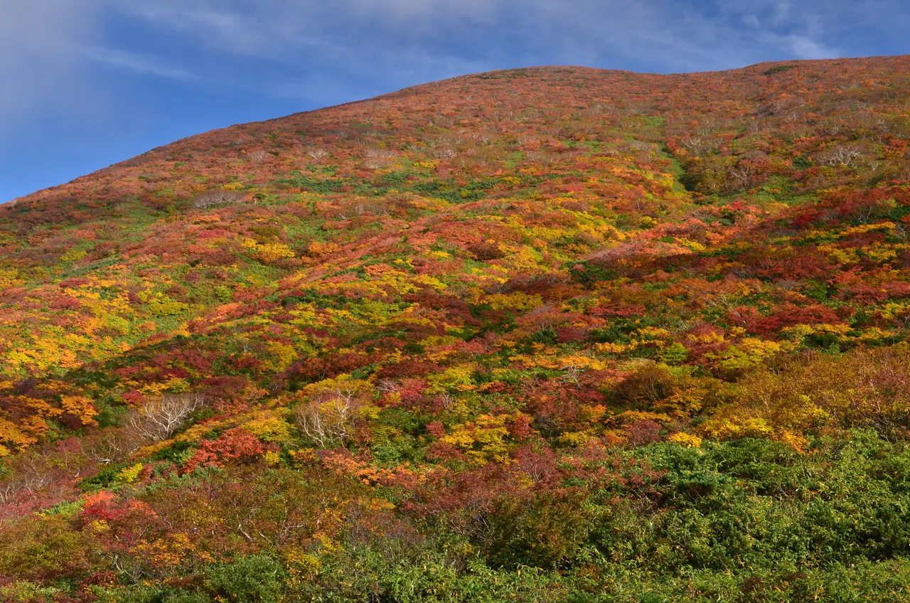
On Mount Kurikoma, which rises on the Akita–Iwate border, the leaves of low shrubs turn red, orange and yellow until the whole mountainside looks like brocade. According to reports from the Tohoku Regional Forest Office, the leaves near the summit peak from the end of September to early October, and the color then moves down the mountain. From the Akita side, you can drive up Route 342 through Higashinaruse Village toward Sukawa on the prefectural border.
Mount Kurikoma is an active volcano covered by the Japan Meteorological Agency's volcanic alert levels. Part of the Sukawa Course from Sukawa to the summit had been closed because of volcanic gas, but it reopened on July 18, 2026. It closed again for winter on October 15, 2026 (according to Iwate Prefecture). Restrictions change with volcanic activity, so check the latest information before you climb. The section of Route 342 near the prefectural border closes for winter from early November.
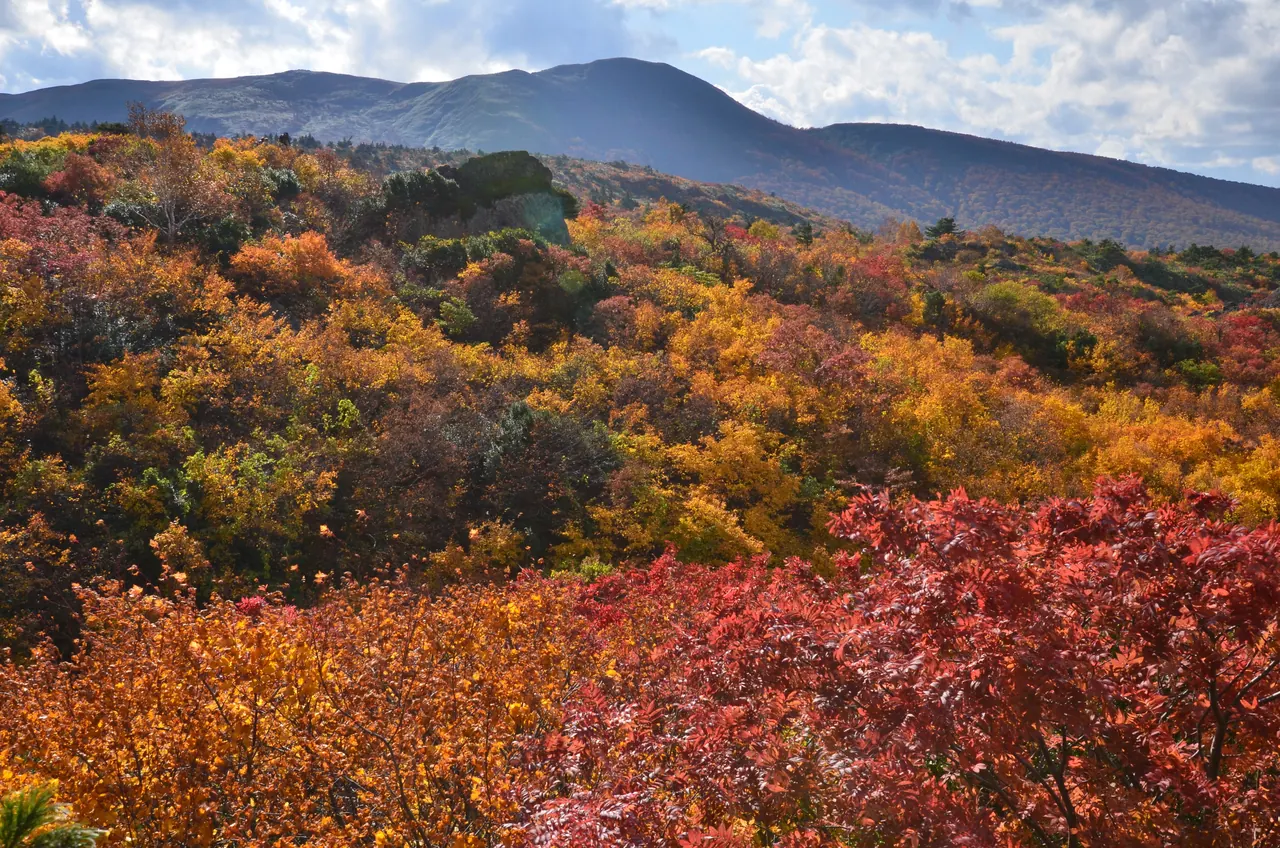
Photo: Akita Prefecture
Lake Taiheiko and Komatakyo Gorge: Cross the Lake by Boat to Sangai Falls
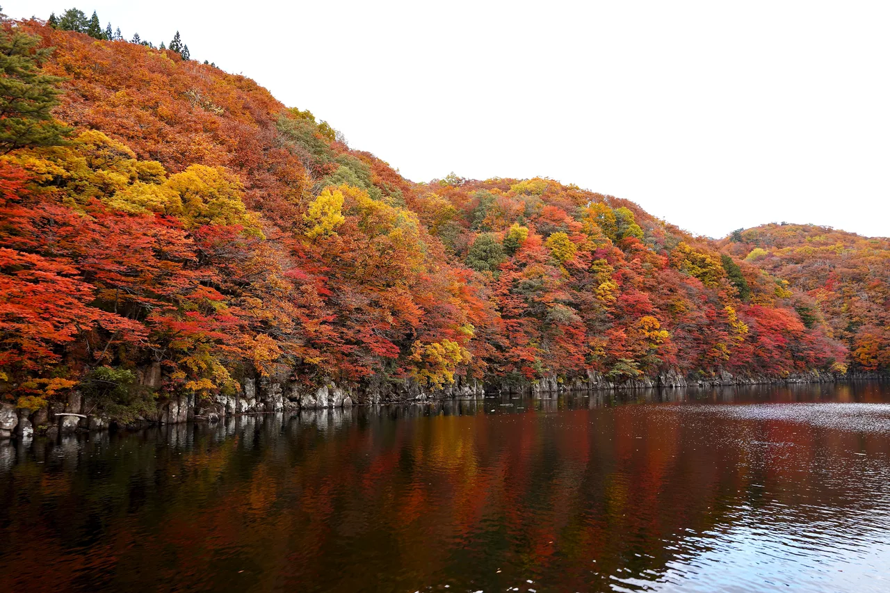
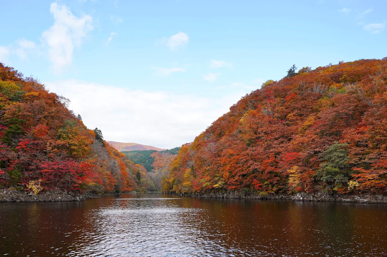
Lake Taiheiko, in the Okumoriyoshi area of Kitaakita City, is a reservoir created in 1953 when the Moriyoshi Dam was completed. The maples and oaks around the lake turn color in October, and on calm days the mountains are mirrored on the water.
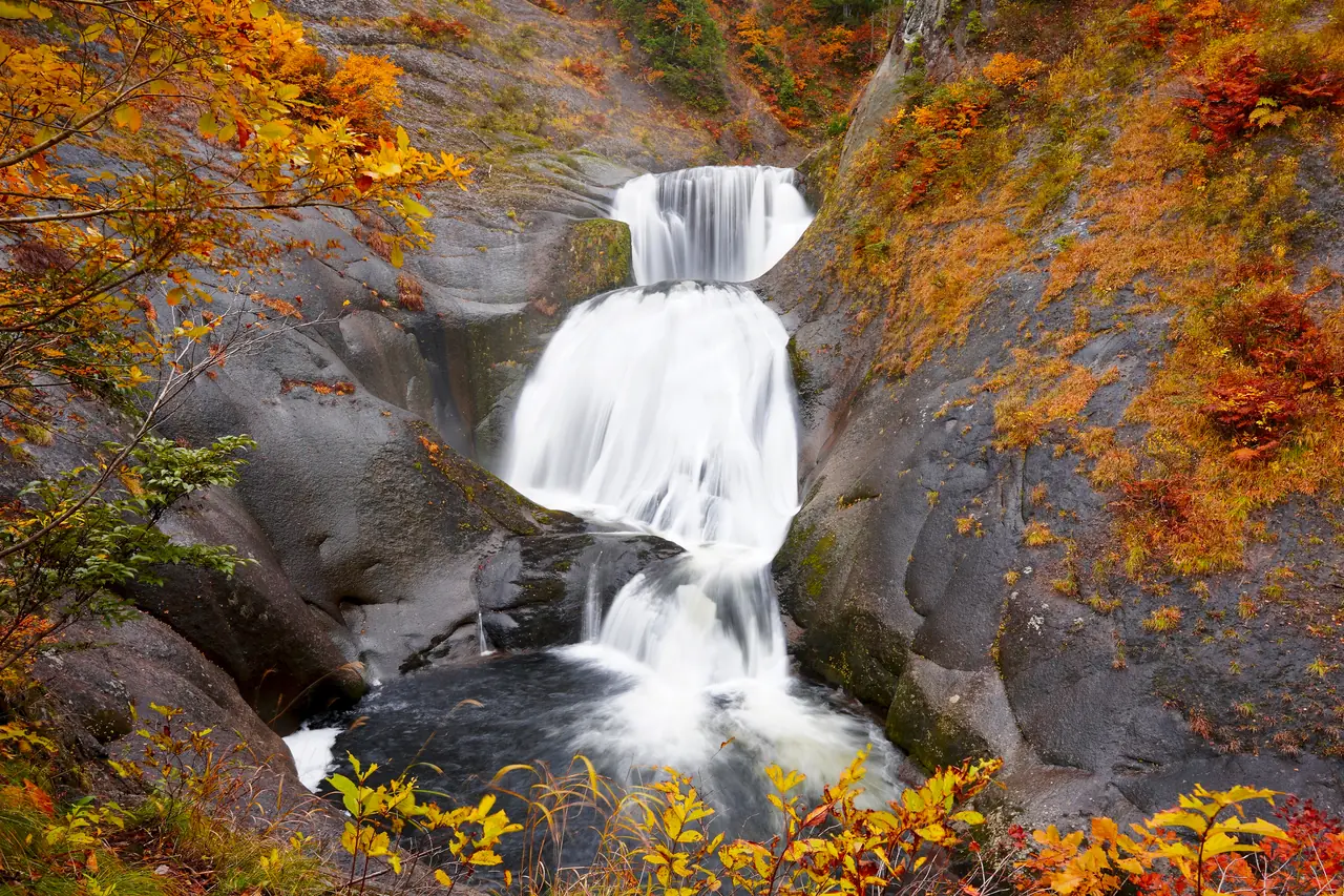
To reach Komatakyo Gorge at the far end of the lake, you take the seasonal small boat called the Taiheiko Komatakyo Shuttle Taxi Boat. It takes about 10 minutes one way from Kitashimizu Pier to Komatakyo Pier. From the pier, a path follows the smooth bedrock of the riverbed past named waterfalls (Yokotaki, Sankakutaki and Anataki) to Sangai Falls at the end, about an hour one way. According to Kitaakita City, the gorge's leaves peak from mid- to late October, when the area around Sangai Falls, which drops about 20 m in three tiers, turns red and yellow.
The path has many wet rocks, and Kitaakita City asks visitors to come in hiking boots or similar mountain gear. Boat days and times change from year to year, and you need to allow enough walking time to make the return boat. The road to the lake usually closes for snow from mid-November, so plan an autumn trip early in the season.
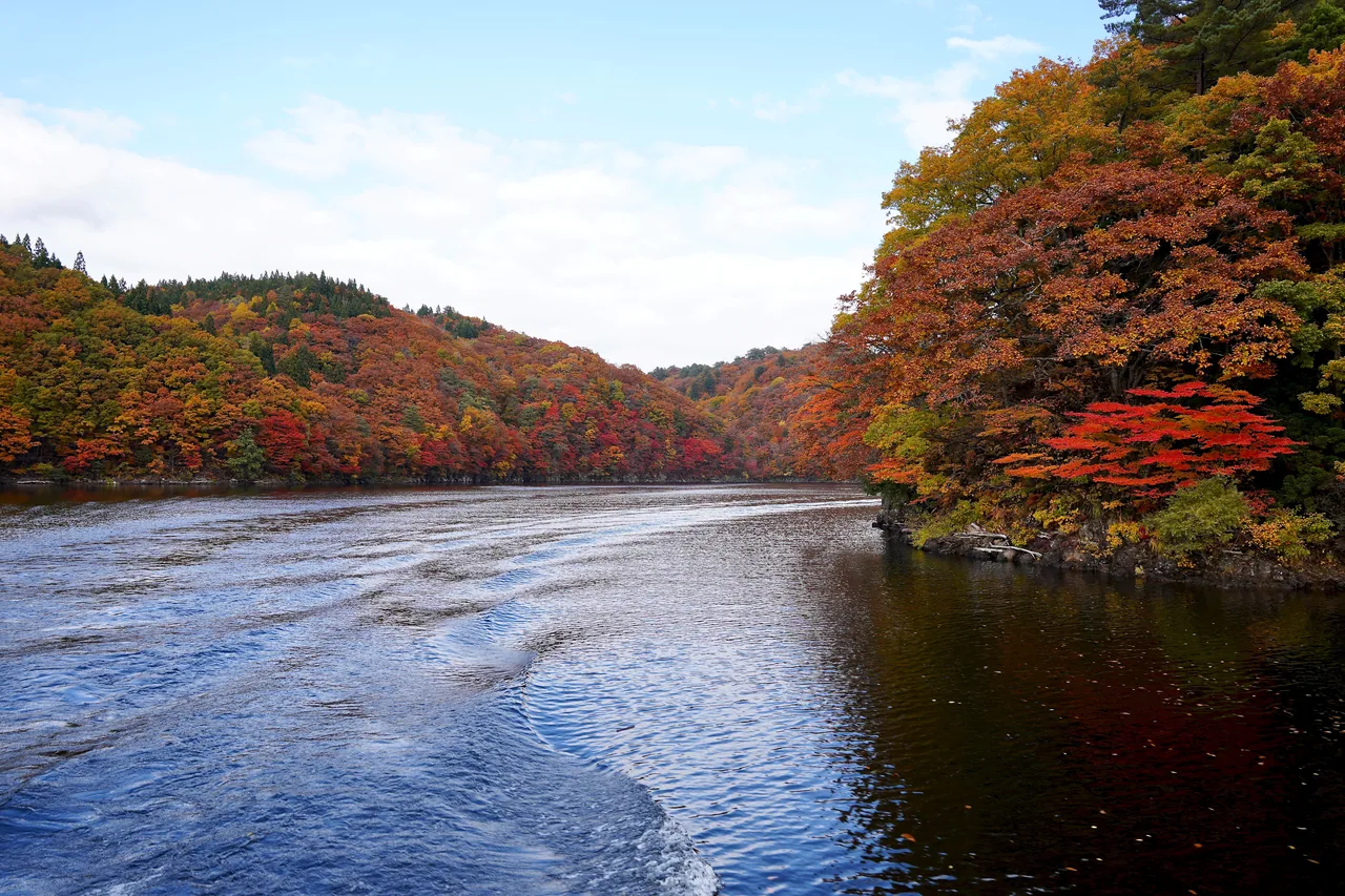
Photo: Akita Prefecture
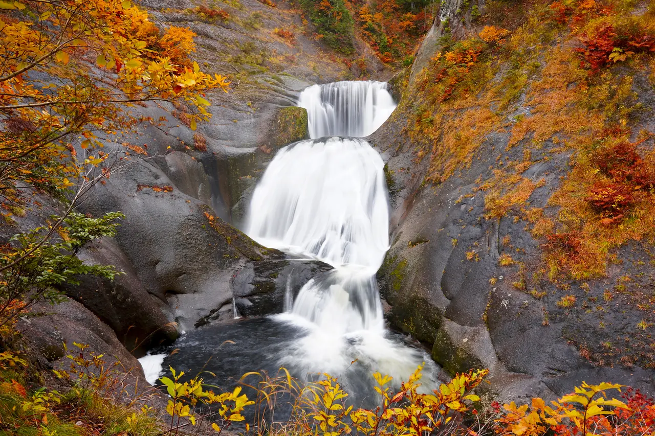
Photo: Akita Prefecture
Oyasukyo Gorge: Autumn Color in a Valley of Steam
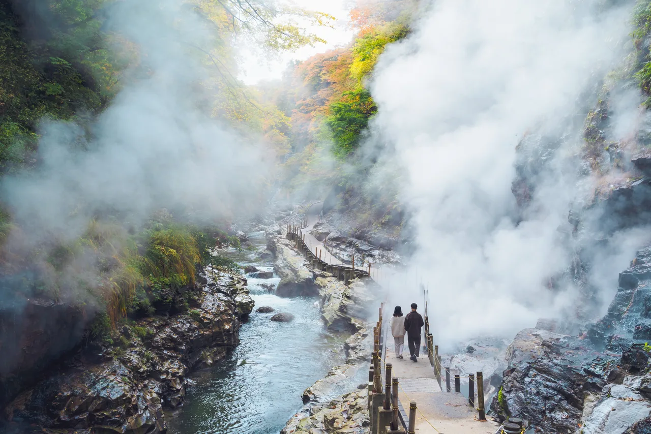
Oyasukyo Gorge in Yuzawa City is a deep V-shaped valley carved by the Minase River. At the Daifunto at the bottom of the gorge, water as hot as 98°C and steam shoot from cracks in the rock, and white steam rises against the colored slopes. According to Yuzawa City, the leaves usually peak from mid-October to early November.
From the Oyasukyo Onsen hot spring town, stairs lead about 60 m down to a riverside path where you can see the Daifunto up close. Looking down from the bridge above, you get a sense of the valley's depth, with red and yellow broadleaf trees mixed among the green of the conifers. The Daifunto path closes for winter from mid-November, and it also closes whenever heavy rain raises the river, regardless of season. From Yuzawa Station, take the Ugo Kotsu bus (about 52 minutes) to the Kawarayu stop, then walk about 2 minutes.
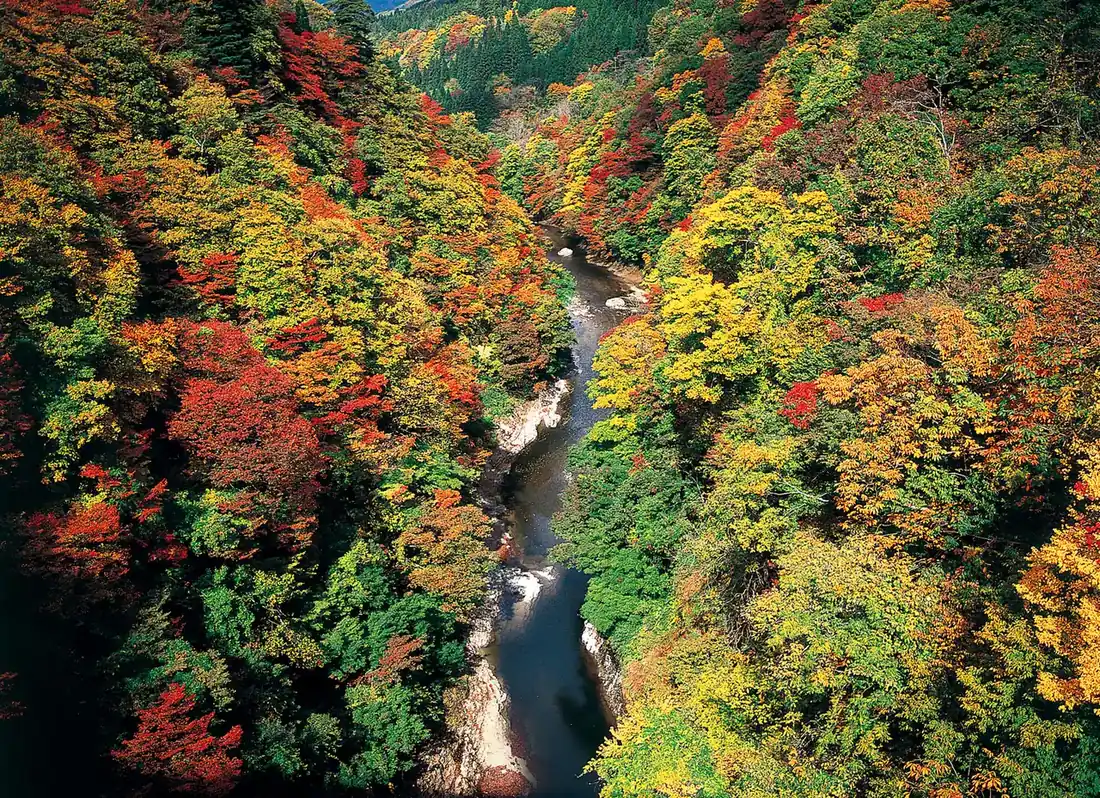
Photo: Akita Prefecture
Dakigaeri Gorge: The Blue Tama River and Mikaeri Falls
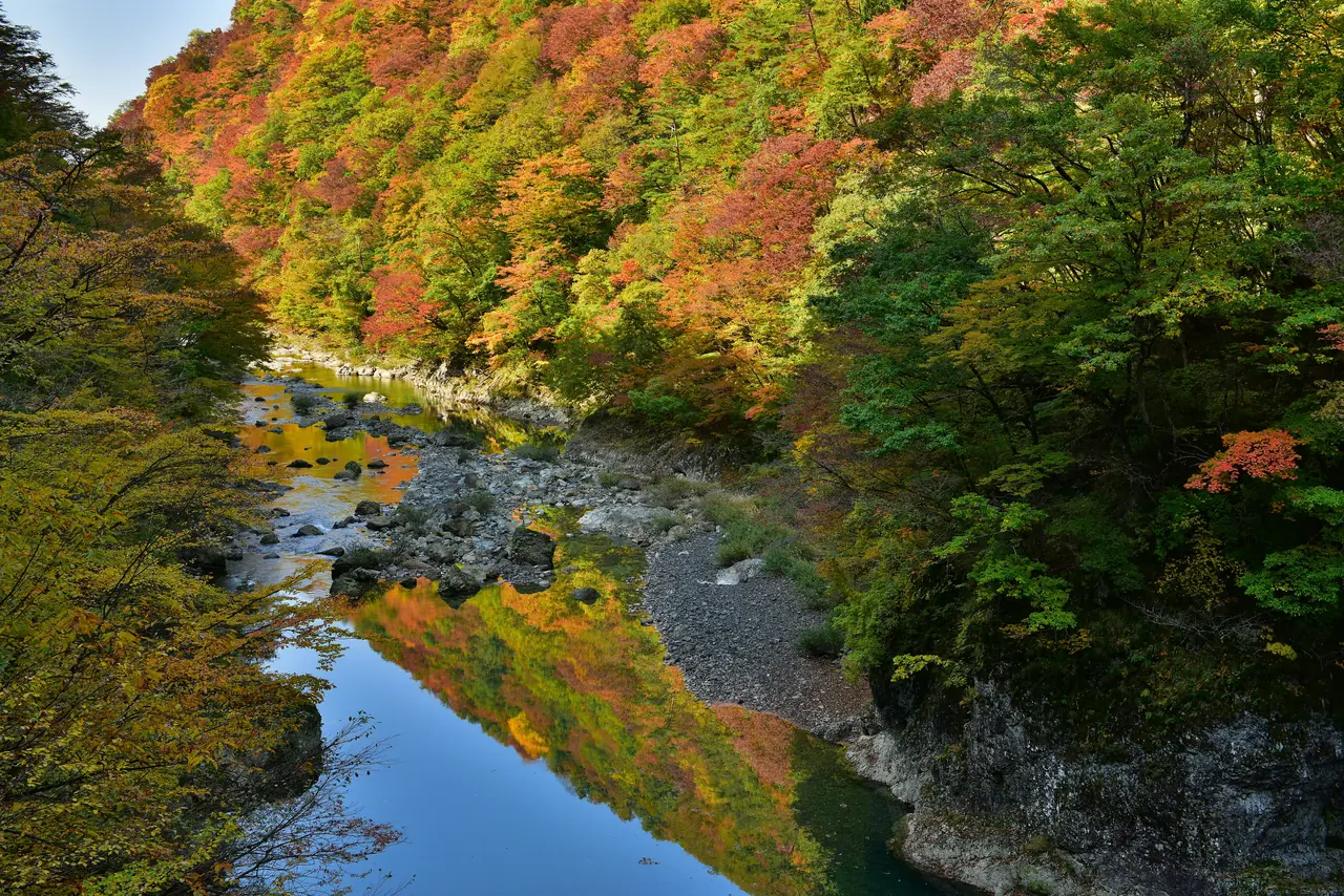
Dakigaeri Gorge in Semboku City stretches for about 10 km along the middle reaches of the Tama River, which flows from the Lake Tazawa area toward Kakunodate. The highlight is the river, which looks blue or emerald green depending on the day, set against red and yellow trees on both banks. Semboku City gives the peak as mid-October to early November, and the Dakigaeri Autumn Leaves Festival is held during this period.
A path starts from the red Kami-no-Iwahashi suspension bridge at the entrance and leads to Mikaeri Falls, about 30 m high, roughly a 30-minute walk. Bears have been sighted along the path, and Semboku City asks visitors to walk in groups of two or more. The gorge is about 15 minutes by car from JR Kakunodate Station or about 5 minutes from JR Jindai Station. From Kakunodate Station you can also use the on-demand bus Yobunoru Kakunodate.
In Kakunodate Samurai District, also in Semboku City, maples turn color in autumn above the residences' roofs and black wooden fences. If you plan to combine it with the gorge, staying in Kakunodate makes getting around easier.
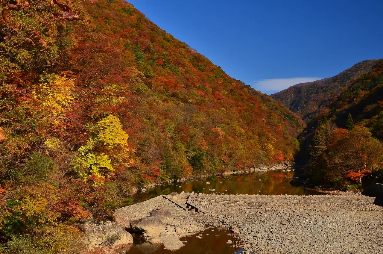
Photo: Akita Prefecture
What to Check Before You Go
- Winter road closures: As a rule of thumb, the Hachimantai Aspite Line closes from early November, Route 342 near the prefectural border from early November, and the road to Lake Taiheiko from mid-November. Dates change every year, so check announcements from the road authorities and municipalities.
- Bear safety: Akita's mountains and gorges are bear habitat. Carry a bell, walk with others, avoid early morning and dusk, and check municipal notices to make sure paths haven't been temporarily closed.
- Clothing: It is much colder on the mountaintops than in the lowlands, and gorge paths can be wet and slippery in places. Bring a jacket and comfortable walking shoes.
- Transport: All of these spots are far from stations, and buses are infrequent or don't run at all. Plan around a rental car, taxi or reservation-based shared transport.
You can check current conditions in Semboku City's foliage report and the nature updates from the Hachimantai Visitor Center. Find more places to visit in Akita on the Akita search page.