Fukushima Autumn Leaves: Bandai-Azuma Skyline and Goshikinuma
This guide is translated from the Japanese edition. Read the Japanese edition
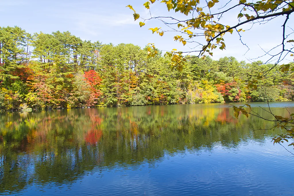
Fukushima autumn leaves spots in order of color, from the Bandai-Azuma Skyline and Goshikinuma to gorges and lit-up temples, with typical timing and routes.
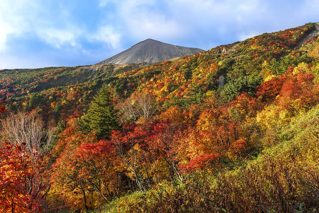
In early October at Jododaira in the Azuma mountains, red and yellow shrubs spread in patches across gray volcanic slopes. Fukushima's autumn color starts on the high peaks and works its way down over more than a month, through the river gorges of Aizu and the temples and shrines of Nakadori to Iwaki near the Pacific. In October, head for mountain roads and highland ponds; in November, valley gorges and illuminated old temples. Choosing where to go by the month is how an autumn trip in Fukushima comes together. The main spots are listed below in the order they usually turn, with directions for each.
When do the leaves change in Fukushima?
| Spot | Area | Typical peak |
|---|---|---|
| Bandai-Azuma Skyline | Fukushima City (Azuma mountains) | Late September to October |
| Goshikinuma | Kitashiobara (Ura-Bandai) | Mid-October to early November |
| Kashi Ohashi Bridge | Nishigo | Around October (earlier than the lowlands) |
| To-no-Hetsuri | Shimogo | Late October to early November |
| Yamamoto Fudoson | Tanagura | Late October to mid-November |
| Shingu Kumano Shrine | Kitakata | Around November |
| Natsui River Gorge | Iwaki | Early to mid-November |
| Shiramizu Amidado | Iwaki | Late October to late November |
Mountain foliage can shift by one or two weeks depending on that year's temperatures, and even at one spot, higher and lower ground peak at different times. Check the foliage reports from each town or tourism association before you go.
Bandai-Azuma Skyline: a mountain road across volcanic slopes
The Bandai-Azuma Skyline is a scenic mountain road of about 29 km linking Takayu Onsen in Fukushima City with the Tsuchiyu Pass. At Jododaira, partway along, you can drive right up to the rugged volcanic landscape of Mt. Azuma-kofuji and Mt. Issaikyo. In autumn the shrubs around the bare rock turn red, and beyond the yellowing trees you look down over the Fukushima Basin.
The color starts at the top, usually from late September through October. On foliage weekends the Jododaira parking lot fills up, so go up early in the morning. The road usually closes for winter from around mid-November to around early April because of snow, and fog or rain can also close it on some days, so check road conditions before setting out. Public transportation is not really an option; the realistic way is to rent a car at Fukushima Station and head for Azuma.
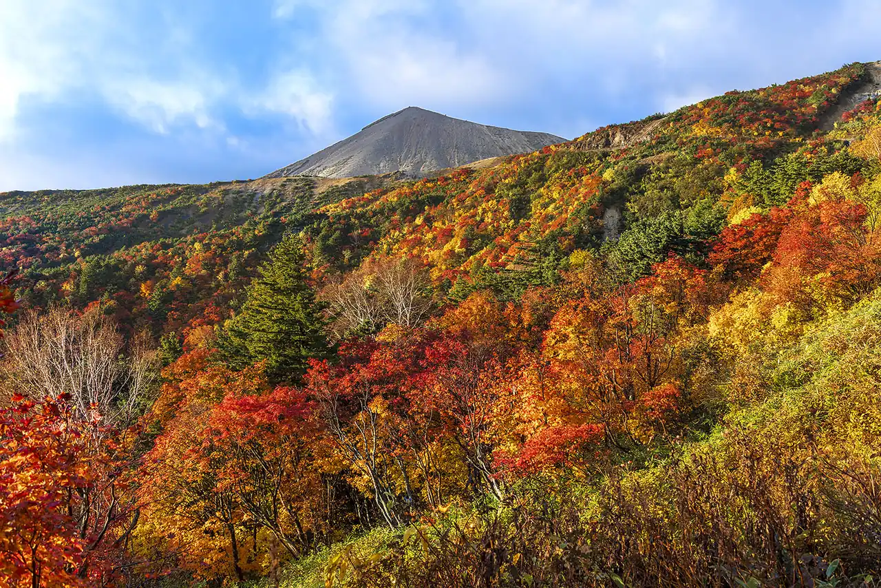
Photo: Ⓒ福島県観光物産交流協会
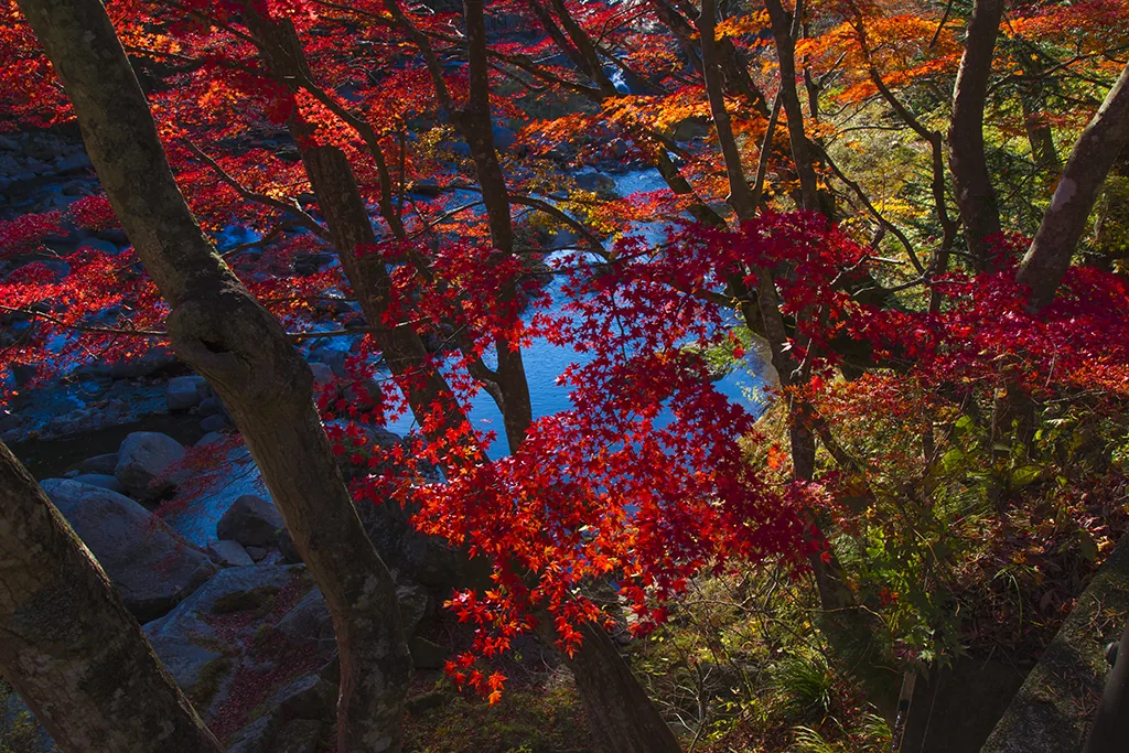
Goshikinuma: walking among emerald ponds and autumn leaves
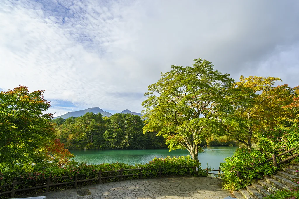
In Ura-Bandai on the north side of Mt. Bandai, Goshikinuma is a group of ponds large and small scattered through the forest. Each pond has its own color, blue, green or emerald, and the look changes with the light. The Goshikinuma Nature Trail connecting the ponds is about 4 km long, with entrances on the east side near the Urabandai Visitor Center and on the west side near the Urabandai Kogen-eki bus stop.
From the east entrance it's about a 10-minute walk to Bishamon-numa Pond. The leaves usually peak from mid-October to early November, and seeing the blue water, the red maples on the shore and the rough face of Mt. Bandai all at once is the view this pond is known for. You can also rent a rowboat on Bishamon-numa. Walking the whole trail with stops at the ponds takes more than an hour; if you're short on time, a round trip to Bishamon-numa alone is fine. The area is a special protection zone for nature conservation, so stay on the trail.
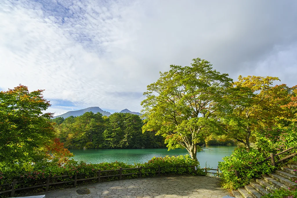
Photo: Ⓒ福島県観光物産交流協会
To-no-Hetsuri and Kashi Ohashi: valley colors on the way to Minami-Aizu
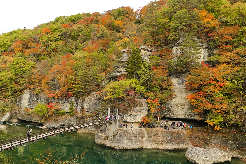
To-no-Hetsuri in Shimogo is a line of cliffs carved by the Okawa (Aga) River over a very long time. Tower-shaped rocks stand along the river, and the site was designated a Natural Monument of Japan in 1943. Cross the suspension bridge and you can see the eroded rock up close from the opposite bank. The leaves usually peak from late October to early November. It's a short walk from To-no-Hetsuri Station on the Aizu Railway, and you can combine it with Yunokami-Onsen Station and Ouchi-juku on the same line.
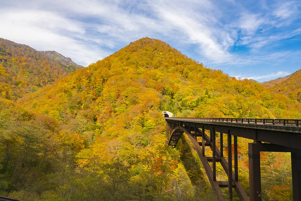
On the Kashi Road section of National Route 289, which runs from Shirakawa toward Minami-Aizu, stands the Kashi Ohashi Bridge. Built in 2003, the 199-meter arch bridge spans the valley at the uppermost reaches of the Abukuma River. When the Kashi Tunnel opened in 2008, Shirakawa and Minami-Aizu were connected by road. When the slopes turn color, you can look out over a valley of reds and yellows from the bridge and around it. Being at altitude, the area colors earlier than the lowlands. There is a bus from Shin-Shirakawa Station toward Shin-Kashi Onsen, but a car is more convenient for getting around the bridge and the viewpoints.
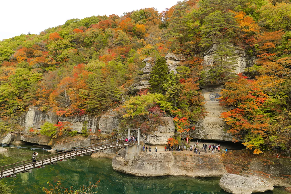
Photo: Ⓒ福島県観光物産交流協会
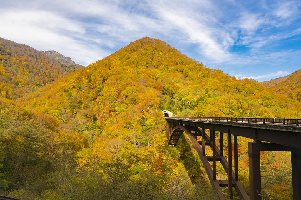
Photo: Ⓒ福島県観光物産交流協会
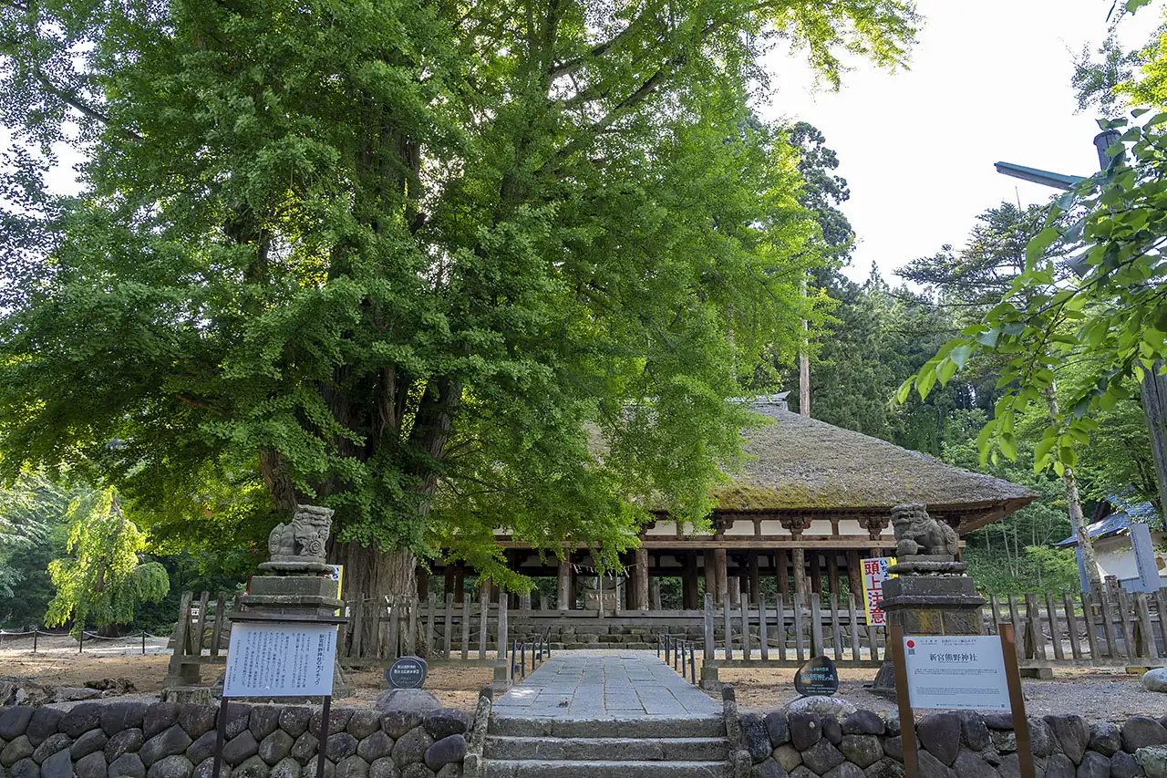
Shingu Kumano Shrine: the Nagatoko hall and a giant ginkgo
Shingu Kumano Shrine in Kitakata is said to have been founded in 1055, when Minamoto no Yoriyoshi invited the deities of Kumano here. Its worship hall, the Nagatoko, is an Important Cultural Property of Japan: 44 thick round pillars stand in rows with no walls, open on all sides. The great ginkgo beside the Nagatoko is a natural monument of Kitakata City and is said to be as much as 800 years old.
Around November, when the leaves turn yellow, the ground in front of the Nagatoko is covered in gold. In some years the shrine is lit up at night during the color season, and the illuminated ginkgo and the rows of pillars stand out in the dark. Whether it takes place, and on which dates, is decided each year. It's about 10 minutes by car from JR Kitakata Station, and easy to pair with a bowl of ramen in central Kitakata before you go.
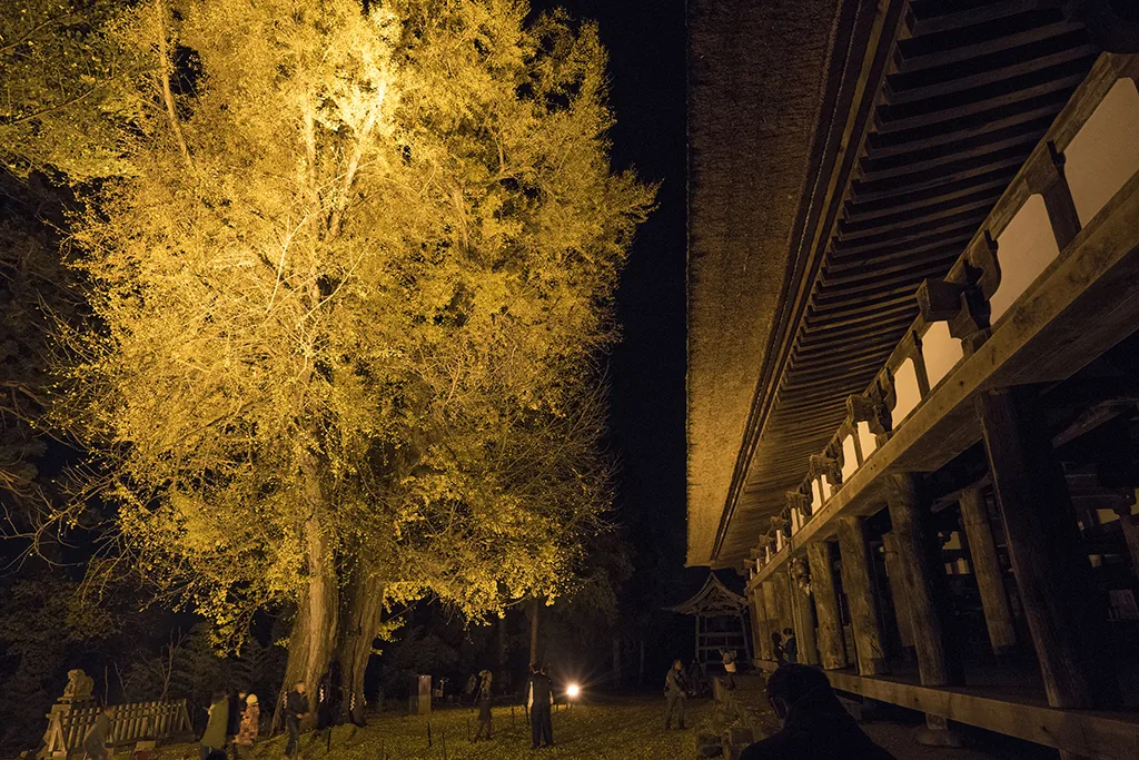
Photo: Ⓒ福島県観光物産交流協会
Natsui River Gorge and Yamamoto Fudoson: valleys and temple steps that turn in November
The Natsui River Gorge in Iwaki runs between Eda and Kawamae stations on the JR Ban'etsu East Line. Known for its akayashio azaleas in spring, in autumn it is colored by mountain maples and Japanese maples. The climate in Hamadori is mild, so the leaves usually peak in early to mid-November, late for the prefecture. The area around Kagoba Falls is the highlight, within walking distance of Eda Station. Prefectural Route 41 along the gorge has no sidewalk in many places, so take great care with traffic if you walk. Simply watching the gorge from the train window is enjoyable in foliage season, too.
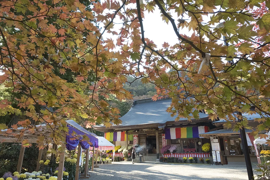
Yamamoto Fudoson in Tanagura, in the south of the prefecture, is a temple said to have begun in 807, when Kobo Daishi built a fire altar here to drive away evil spirits. In foliage season the approach becomes a tunnel of maples known as the "Momiji Sando." The main image, Fudo Myoo, is enshrined in the inner hall at the top of 130 stone steps. The leaves usually peak from late October to mid-November, with illuminations at night in autumn. It's about 10 minutes by car from Chikatsu Station on the JR Suigun Line.
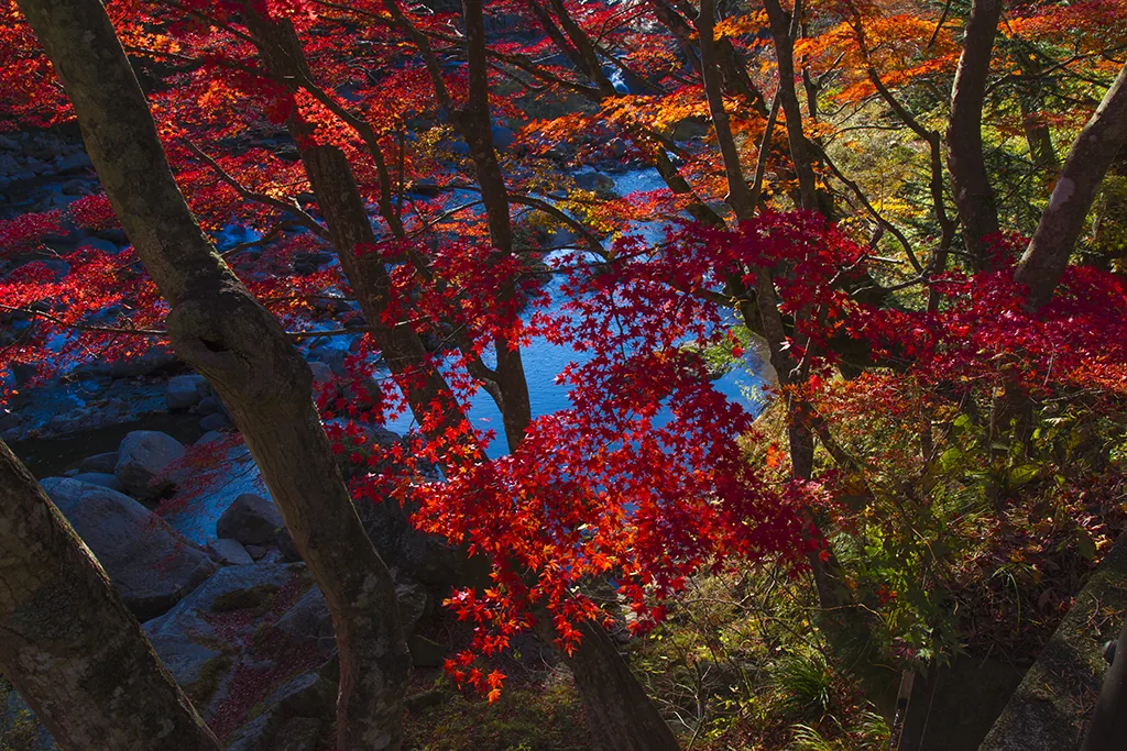
Photo: Ⓒ福島県観光物産交流協会
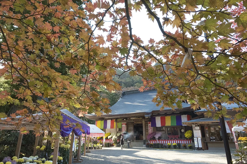
Photo: Ⓒ福島県観光物産交流協会
Shiramizu Amidado: a National Treasure hall and maples reflected in its pond
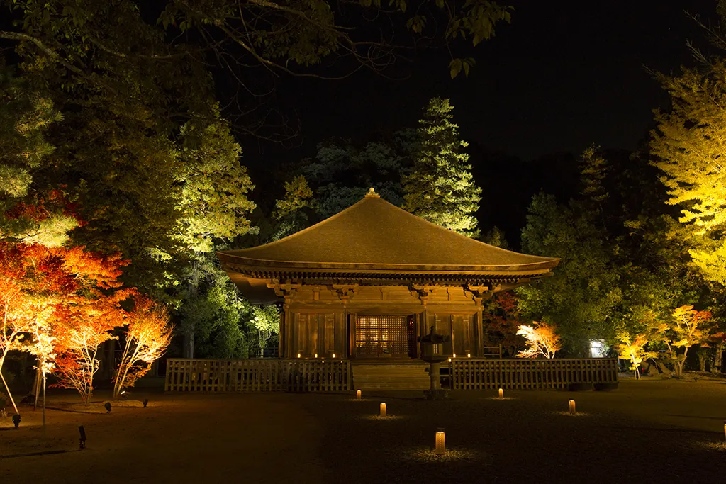
Shiramizu Amidado in Uchigo, Iwaki, is an Amida hall said to have been built in 1160 by Princess Toku, daughter of Fujiwara no Kiyohira of the Oshu Fujiwara clan, in memory of her husband. It is designated a National Treasure. The Pure Land garden, with ponds surrounding the hall on three sides, is a National Historic Site.
In autumn, a great ginkgo and maples color the pond's edges, usually from late October to late November. On some days during the foliage season the garden is illuminated at night, and the yellow and red leaves, the bridge over the pond and the hall are reflected in the water. The dates of the evening openings change each year. From JR Iwaki Station on the Joban Line, take a bus to the "Amidado" stop and walk about 5 minutes.
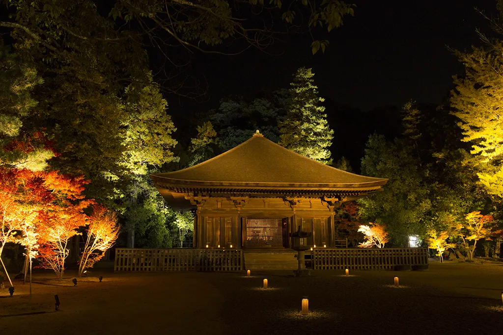
Photo: Ⓒ福島県観光物産交流協会
Getting around in foliage season
Fukushima's autumn spots are scattered across Aizu, Nakadori and Hamadori, and in practice it's hard to see several in one day by train alone. Planning a separate day for each area keeps things manageable.
| Area | Base | Sample route |
|---|---|---|
| Azuma and Ura-Bandai | Fukushima or Inawashiro Station | Drive over the Bandai-Azuma Skyline to Goshikinuma in Ura-Bandai; leave early in foliage season |
| Minami-Aizu and the south | Aizu-Wakamatsu or Shin-Shirakawa Station | Take the Aizu Railway to To-no-Hetsuri; by car, drive from Shin-Shirakawa past the Kashi Ohashi Bridge to Shimogo |
| Kitakata | Kitakata Station | Walk around Kitakata in the morning, then visit Shingu Kumano Shrine in the afternoon; stay into the evening in years with illuminations |
| Iwaki | Iwaki Station | The Natsui River Gorge by the Ban'etsu East Line during the day, then a bus to the Shiramizu Amidado illuminations in the evening |
Mountain roads get congested on foliage weekends, and by late October there can be icy roads in the morning and evening, or even the first snow. If you're renting a car for the mountains, check whether winter tires are needed for your dates. For spring, see Fukushima cherry blossoms; for the snow season, see Fukushima in winter. For more places to visit, browse the list of spots in Fukushima.