Lake Sayama
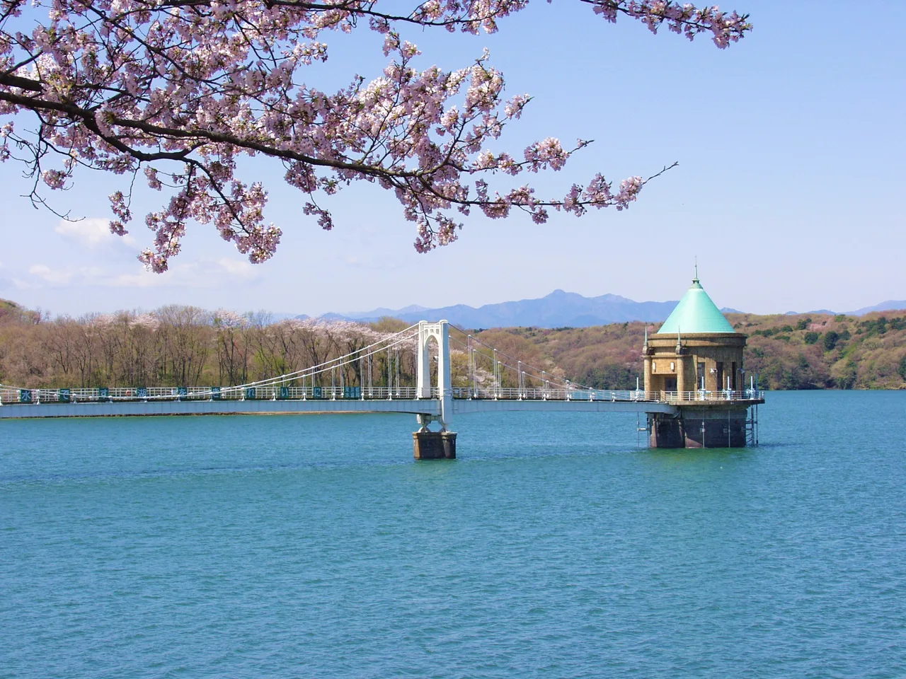
Photo: Saitama Prefecture Products & Tourism Association / Reproduction/Reprint prohibited
Areas of Saitama
Lake Sayama
Lake Sayama (Yamaguchi Reservoir) in Tokorozawa: the walk along the 716 m dam, Mt. Fuji on clear winter days, spring cherries, autumn leaves and getting there.
 Dec 2 – Dec 3Chichibu Night Festival (Chichibu Yomatsuri)
 GuidesSaitama Autumn Leaves: Nakatsukyo, Ranzan Valley and Fall Flowers
Find on the map
Choose a numbered circle to zoom in there; choose a name to open the area's page.
This page is translated from the Japanese edition. Read the Japanese edition
What is the area like?
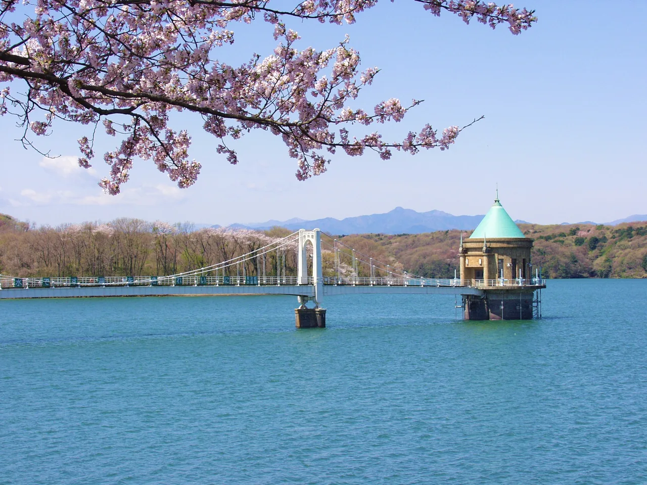
In the west of Tokorozawa, Lake Sayama is a man-made lake surrounded by the woods of the Sayama Hills. Its official name is Yamaguchi Reservoir, and together with neighboring Lake Tama (Murayama Reservoir) it stores water for Tokyo. The surrounding hills, designated Sayama Prefectural Natural Park in 1951, are green and wooded, good for lake views and walks through the woods.
Main sights
Lake Sayama (Yamaguchi Reservoir)
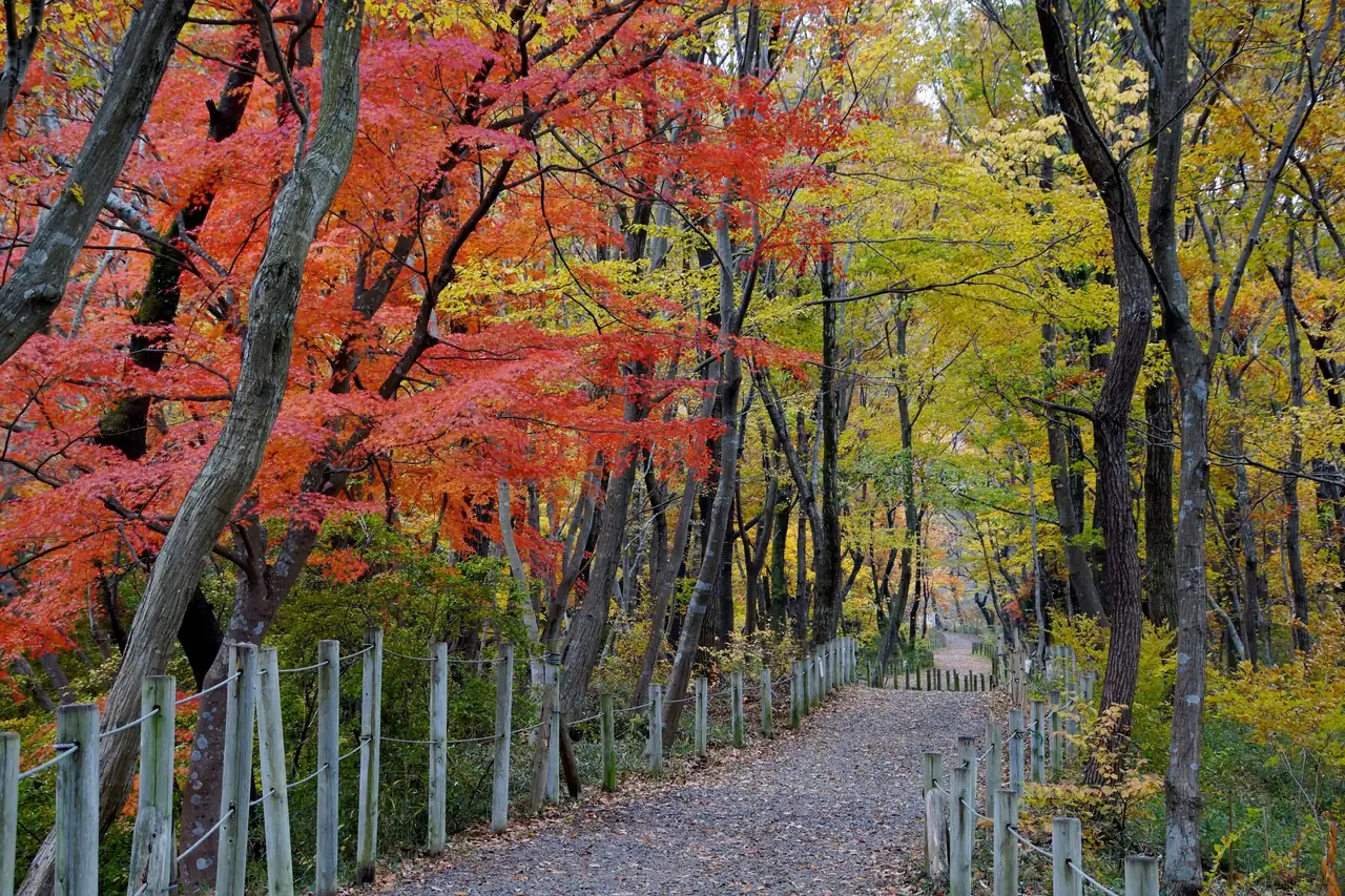
A man-made lake completed in 1934 and listed among Japan's "100 Best Dam Lakes." The main place to take it in is the path along the top of the embankment of this earth-fill dam. The embankment is about 34 m high and about 716 m long; walk from one end to the other and you see the lake and the mountains toward Okutama and Chichibu on one side, and the town of Tokorozawa on the other. On clear winter days when the air is crisp, Mt. Fuji appears beyond the lake. Spring brings cherry blossoms along the embankment, and autumn colors the hills. See Lake Sayama.
Getting there
- About a 15-minute walk from Seibu-Kyujo-mae Station on the Seibu Sayama Line.
Getting around the area
After walking the embankment, head onto the trails in the hills; you can watch birds in the woods around the lake. For Mt. Fuji, choose a clear winter day. Find more sights in Saitama in our list of Saitama spots.