
Gojome
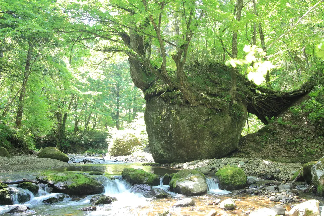
Photo: Akita Prefecture
Areas of Akita
Gojome
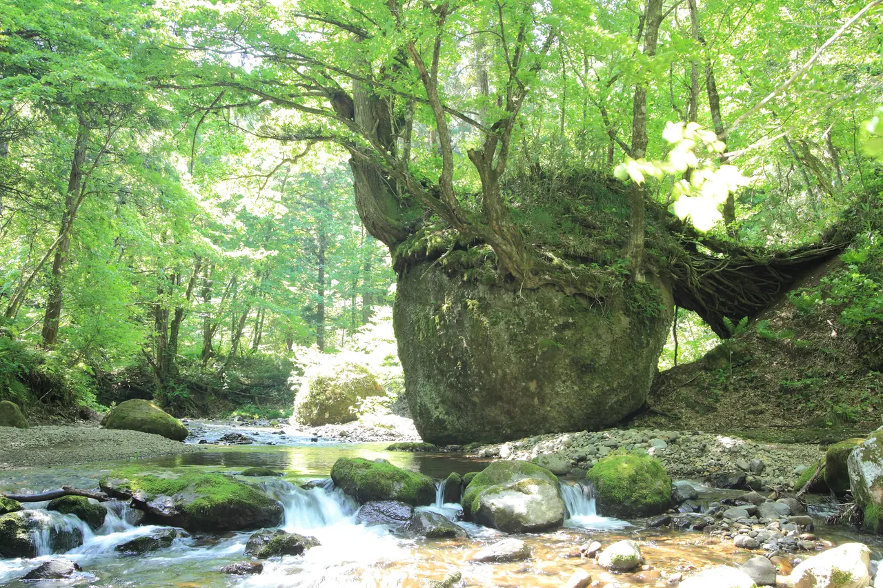
Gojome, a town with a clear mountain stream on the way to Mt. Babamedake: Nekobari Rock, a 6 m boulder with trees rooted on top, and the winter road closure.
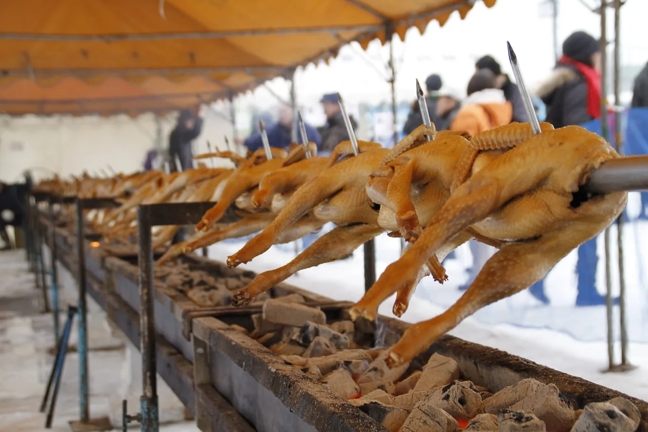 Jan 23 – Jan 24Hinai Tori no Ichi (Hinai Chicken Fair)
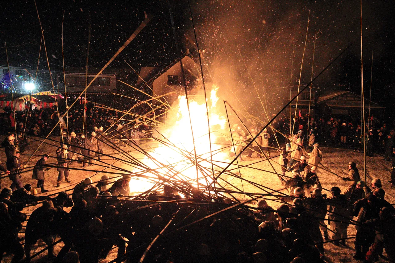 Feb 9 – Feb 13Rokugo Kamakura and Takeuchi (Bamboo Battle)
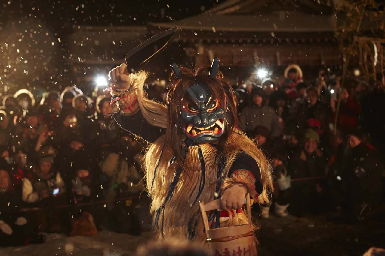 Feb 12 – Feb 14Namahage Sedo Festival
Find on the map
Choose a numbered circle to zoom in there; choose a name to open the area's page.
This page is translated from the Japanese edition. Read the Japanese edition
What is the area like?
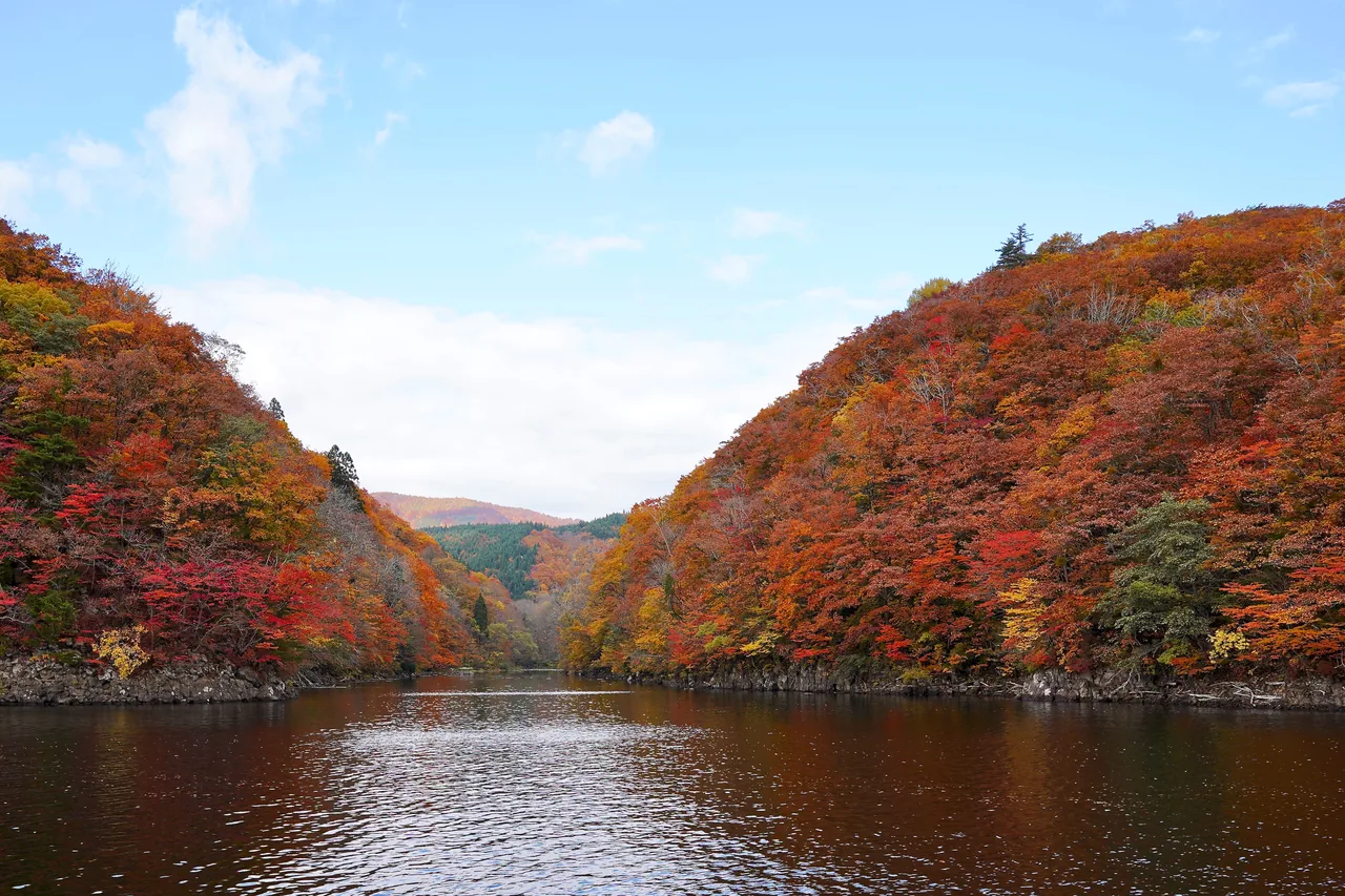
This area covers Gojome Town, east of Hachirogata, where the land rises into the mountains. On the way from town toward Mt. Babamedake, the upper Babame River runs clear between moss-covered stones. In summer the shade keeps it cool, and in the fresh-green season even the surface of the water looks green.
Main sights
Nekobari Rock
This boulder, about 6 m tall, sits on the upper Babame River. Trees have taken root on top of it, and their roots wrap around the rock down to the ground behind, which is how it got its name, Nekobari Rock (根古波離岩). From the riverbed in front, it looks like the rock is sitting by the river carrying the trees on its back. It was also a filming location for the movie "Tsurikichi Sanpei." The riverbed is stony and the water rises after rain, so watch your step as you approach. See Nekobari Rock for more.
Food and shopping
There are no shops along the stream by the rock. Pick up drinks and snacks in the center of town before you head up.
Getting there
- By car: about 35 minutes from the Gojome Hachirogata Interchange on the Akita Expressway.
Getting around the area
In winter (roughly late November to mid-April) the road is closed because of snow. It can also be closed at other times for construction or landslides, so check the road conditions on Gojome Town's official website before you go.
The trailhead for Mt. Babamedake lies farther up, and some hikers stop by on their way. Hachirogata & Kotooka on the east shore of the old lagoon is also close, so the two are easy to combine.
Sights in Gojome
Akita guides
See all
More areas of Akita
- Akita Station & Senshu Park
- Tsuchizaki & Kanaashi
- Oga Onsen & Shinzan
- Cape Nyudozaki
- Mount Kanpu
- Ogata
- Hachirogata & Kotooka
- Kamayahama Beach
- Kakunodate & Dakigaeri Gorge
- Lake Tazawa
- Nyuto Onsen & Mount Akita-Komagatake
- Nishiki & Kamihinokinai
- Hachimantai & Tamagawa Onsen
- Kazuno (Oyu & Kemanai)
- Kosaka
- Odate
- Takanosu & Tsuzureko
- Ani & Mount Moriyoshi
- Lake Taihei & Komata Gorge
- Noshiro
- Futatsui
- Fujisato (Shirakami Mountains)
- Omagari
- Kariwano
- Misato
- Yokote
- Masuda
- Yuzawa
- Ugo & Nishimonai
- Oyasukyo Gorge & Kawarage
- Mount Kurikoma
- Kisakata & the Foot of Mount Chokai
- Hottai Falls