
Mount Kurikoma
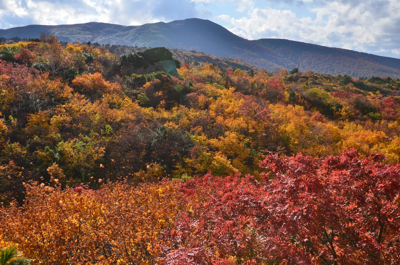
Photo: Akita Prefecture
Areas of Akita
Mount Kurikoma
Mount Kurikoma, an active volcano on the Akita-Iwate border: autumn color, the Sukawa trail and gas restrictions, and Route 342.
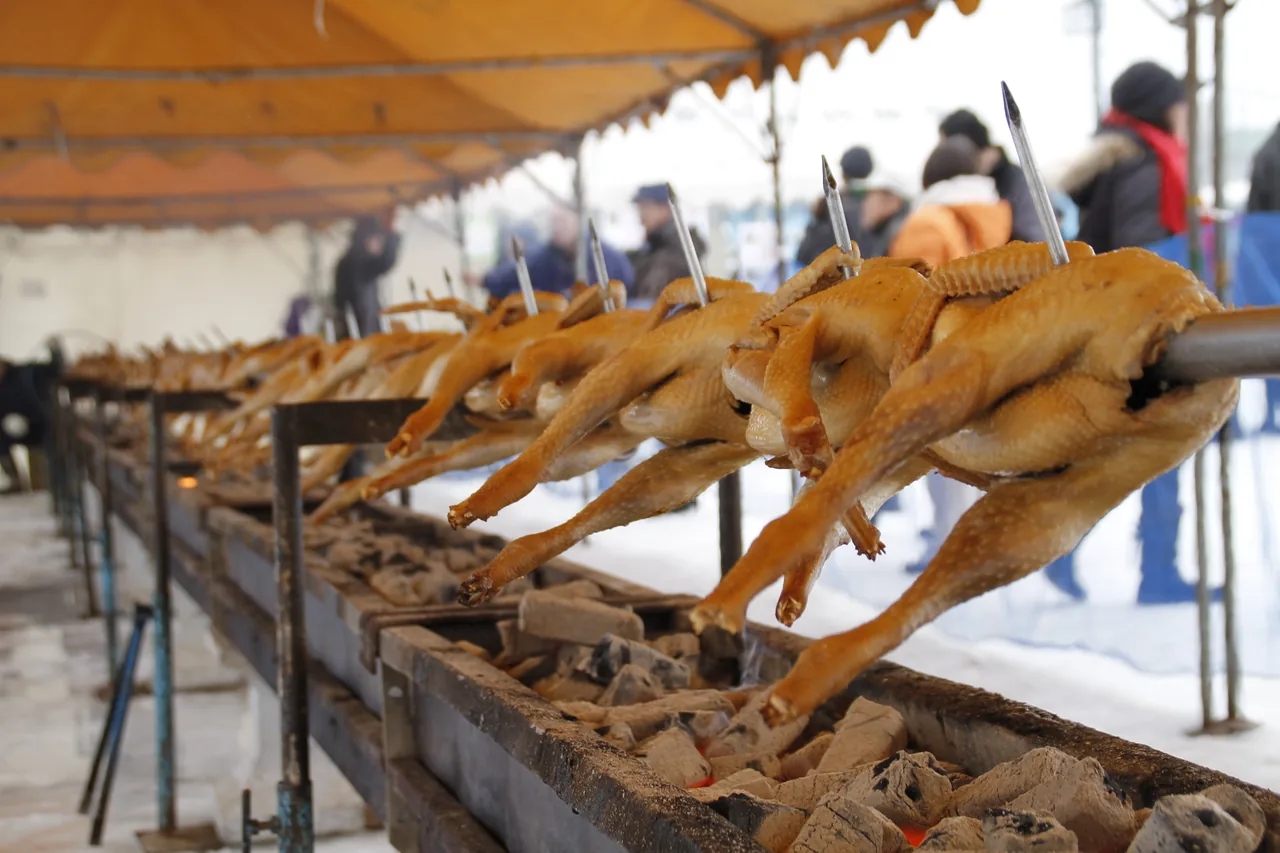 Jan 23 – Jan 24Hinai Tori no Ichi (Hinai Chicken Fair)
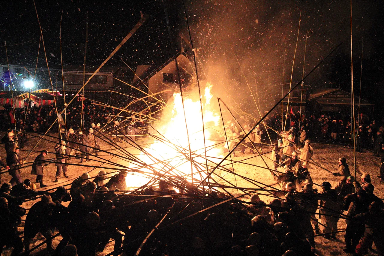 Feb 9 – Feb 13Rokugo Kamakura and Takeuchi (Bamboo Battle)
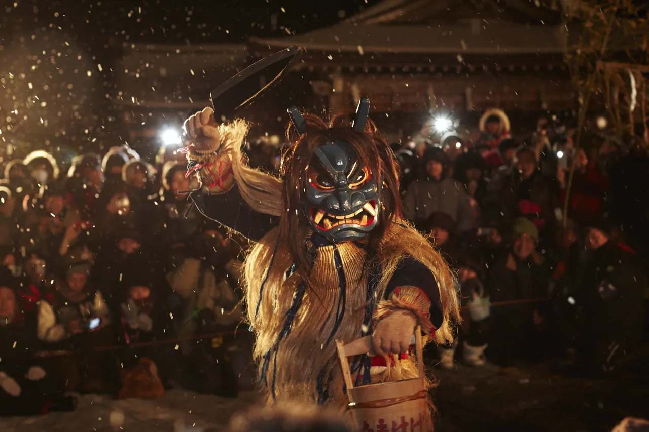 Feb 12 – Feb 14Namahage Sedo Festival
Find on the map
This page is translated from the Japanese edition. Read the Japanese edition
What is the area like?
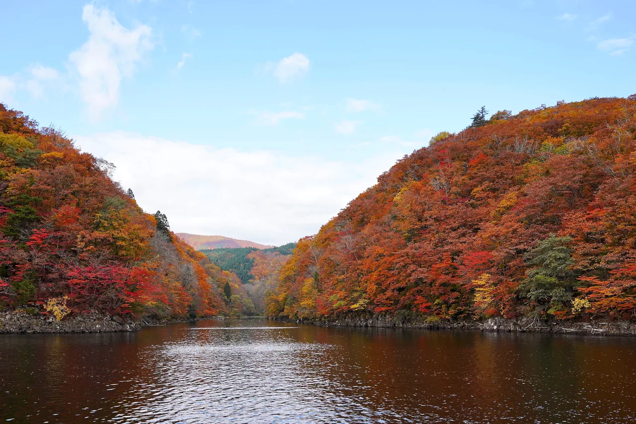
This area covers Mount Kurikoma, which rises on the border with Iwate at the southeastern tip of Akita Prefecture. From the Akita side, you can drive up Route 342 through Higashinaruse Village toward Sukawa near the border. Autumn, when the slopes are covered in color, is the best season, and you can walk through varied scenery that includes wetlands and a lake formed by the volcano.
Main sights
Autumn Color and the Sukawa Trail
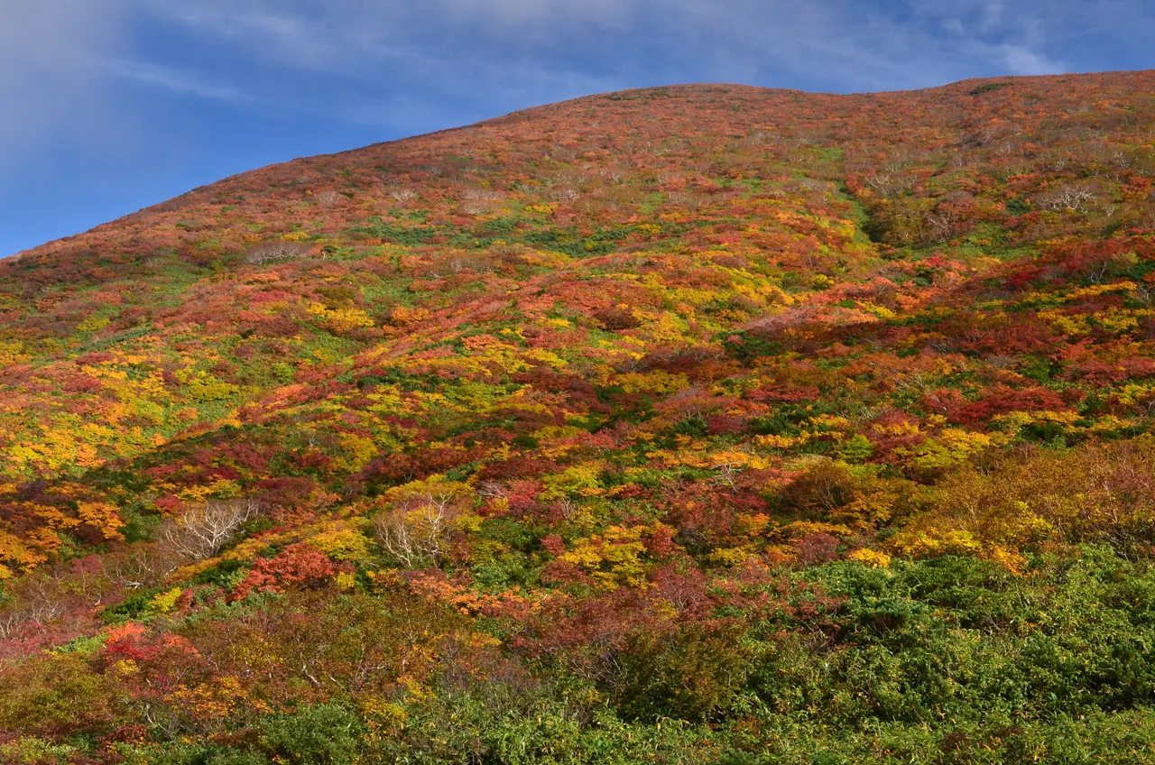
In autumn the leaves of the low shrubs on Mount Kurikoma turn red, orange and yellow, and the whole mountainside looks like brocade. According to the Tohoku Regional Forest Office, the color peaks near the summit from the end of September to early October, then moves down the mountain. The Sukawa Course, which climbs from Sukawa on the border to the summit, was partly closed because of volcanic gas, but reopened on July 18, 2026. It closed again for winter on October 15, 2026 (according to Iwate Prefecture). Lake Showa, along the way, was formed by a steam eruption in 1944. The mountain also has wetlands, where you can walk the boardwalks and view the autumn grasses. See Mt. Kurikoma for more.
Food and shopping
There are almost no shops on the mountain. Carry drinks and trail snacks, and bring a windproof jacket, since it is cold up high even in autumn.
Getting there
- By car: from the Akita side, drive up Route 342 from Higashinaruse toward Sukawa on the border. The section of Route 342 near the border is closed in winter. In 2026 the winter closure started at noon on November 4 for the stretch from the Koroka-yama Tunnel to the Iwate border, and starts at noon on November 16 for the stretch from the Soil-Mounding Gate up to the tunnel. The spring reopening date varies from year to year, so check announcements from Yuzawa City, Higashinaruse Village and Akita Prefecture.
Getting around the area
Mount Kurikoma is an active volcano covered by the Japan Meteorological Agency's volcanic alert levels, and parts of the trails can be closed because of volcanic gas. Check the official information on restrictions and roads before you climb. Stay on the boardwalks in the wetlands.
For Akita's other autumn leaf spots and the order in which they turn, see Akita's autumn leaves. At Oyasukyo in Yuzawa, the leaves peak later than on the mountain, from mid-October.
Sights in Mount Kurikoma
Akita guides
See all
More areas of Akita
- Akita Station & Senshu Park
- Tsuchizaki & Kanaashi
- Oga Onsen & Shinzan
- Cape Nyudozaki
- Mount Kanpu
- Ogata
- Hachirogata & Kotooka
- Kamayahama Beach
- Gojome
- Kakunodate & Dakigaeri Gorge
- Lake Tazawa
- Nyuto Onsen & Mount Akita-Komagatake
- Nishiki & Kamihinokinai
- Hachimantai & Tamagawa Onsen
- Kazuno (Oyu & Kemanai)
- Kosaka
- Odate
- Takanosu & Tsuzureko
- Ani & Mount Moriyoshi
- Lake Taihei & Komata Gorge
- Noshiro
- Futatsui
- Fujisato (Shirakami Mountains)
- Omagari
- Kariwano
- Misato
- Yokote
- Masuda
- Yuzawa
- Ugo & Nishimonai
- Oyasukyo Gorge & Kawarage
- Kisakata & the Foot of Mount Chokai
- Hottai Falls