
Kisakata & the Foot of Mount Chokai
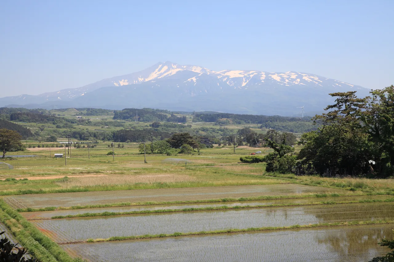
Photo: Akita Prefecture
Areas of Akita
Kisakata & the Foot of Mount Chokai
Kisakata at the northern foot of Mount Chokai: Kujukushima islets in the rice fields, Mototaki's mossy spring falls, and Shishigahana Wetland.
 Jan 23 – Jan 24Hinai Tori no Ichi (Hinai Chicken Fair)
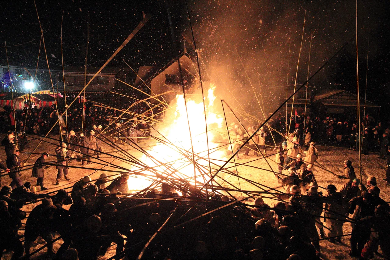 Feb 9 – Feb 13Rokugo Kamakura and Takeuchi (Bamboo Battle)
 Feb 12 – Feb 14Namahage Sedo Festival
Find on the map
Choose a numbered circle to zoom in there; choose a name to open the area's page.
This page is translated from the Japanese edition. Read the Japanese edition
What is the area like?
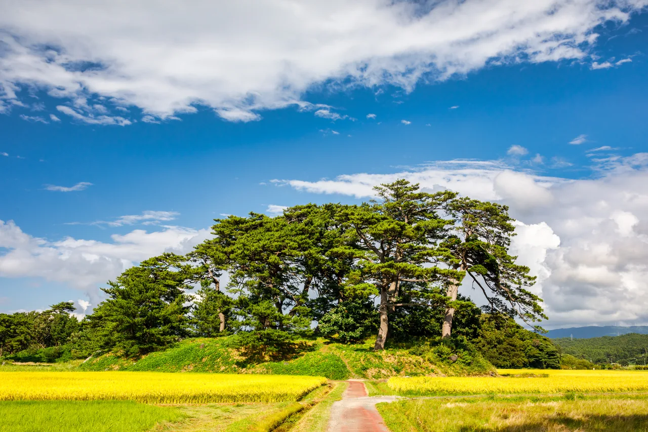
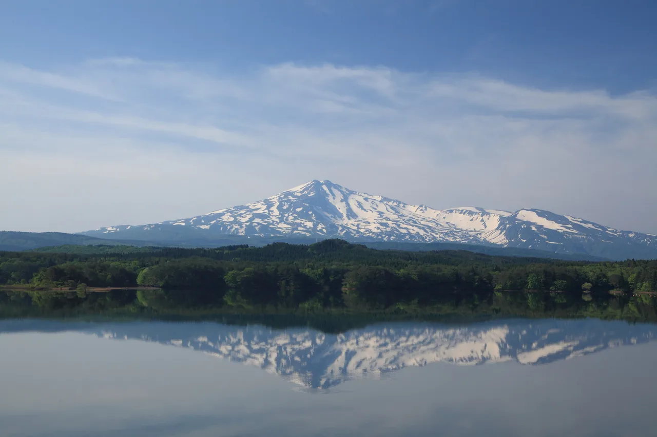
Mount Chokai rises 2,236 m on the border of Akita and Yamagata. At its northern foot, in Kisakata, Nikaho City, are the Kujukushima islets, small pine-topped hills scattered through the rice fields, and forests where snowmelt that has soaked into the mountain springs back out. When the paddies are flooded in May, the still-snowy peak of Mount Chokai rises beyond the water.
Main sights
Kisakata Kujukushima Islands
This was once a scenic inlet dotted with islands, ranked alongside Matsushima, and in 1689 the poet Matsuo Basho visited on the journey he wrote up as "The Narrow Road to the Deep North." In 1804 a great earthquake lifted the land and the inlet became dry ground; today about 65 former islands remain as hills among the rice fields, designated a national Natural Monument, "Kisakata." A walking course among the islets runs between the fields, but stay on the paths and roads rather than walking on the paddy ridges. See Kisakata Kujukushima Islands for more.
Mototaki Fukuryusui Spring Falls
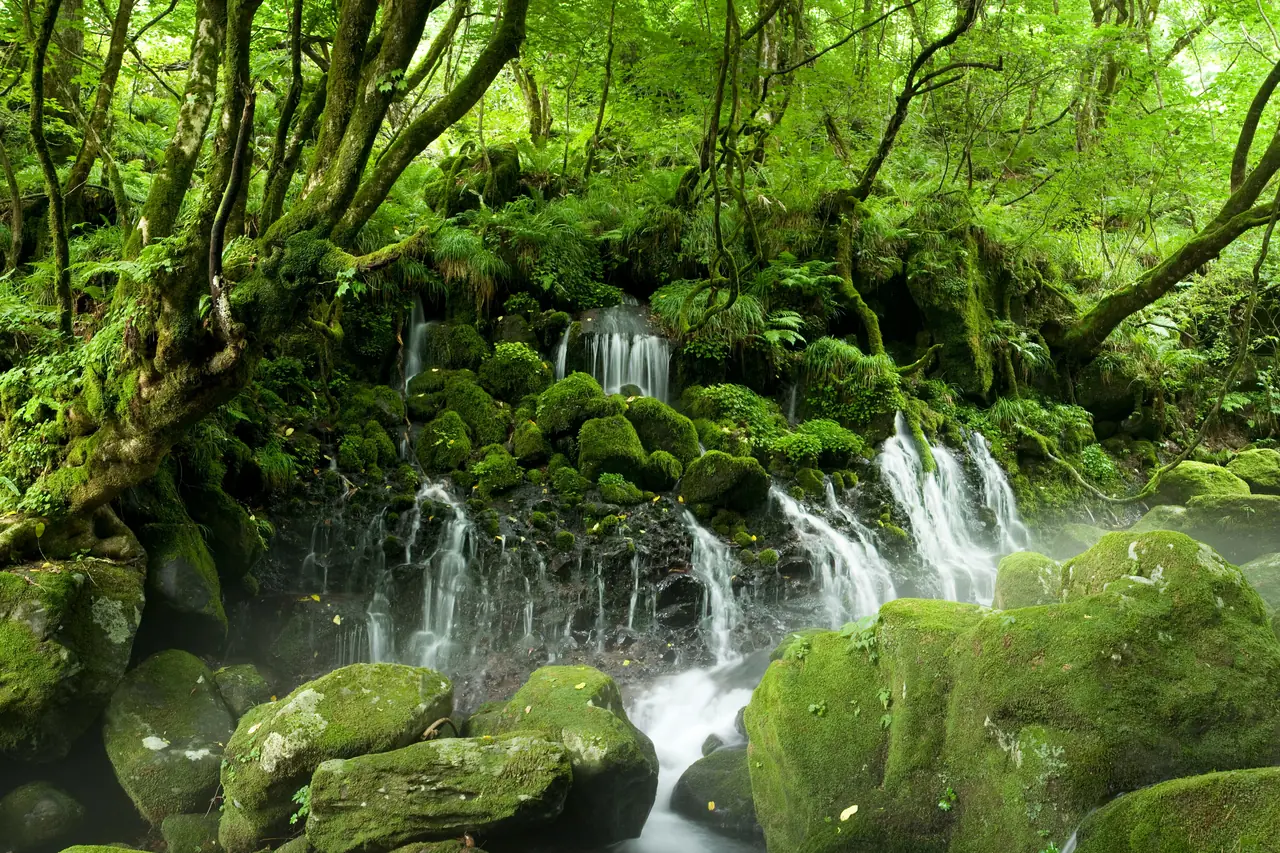
Water wells out of a mossy rock face about 30 m wide and falls in white threads. According to the Ministry of the Environment, about 50,000 tonnes flow out each day. Snow and rain that fall on Mount Chokai are said to travel underground for about 80 years before emerging here, and the spring was chosen as one of the "100 Exquisite and Well-Conserved Waters of the Heisei era." From the parking lot it is about a 10-minute walk through the forest to the falls.
Nakajimadai and Shishigahana Wetland
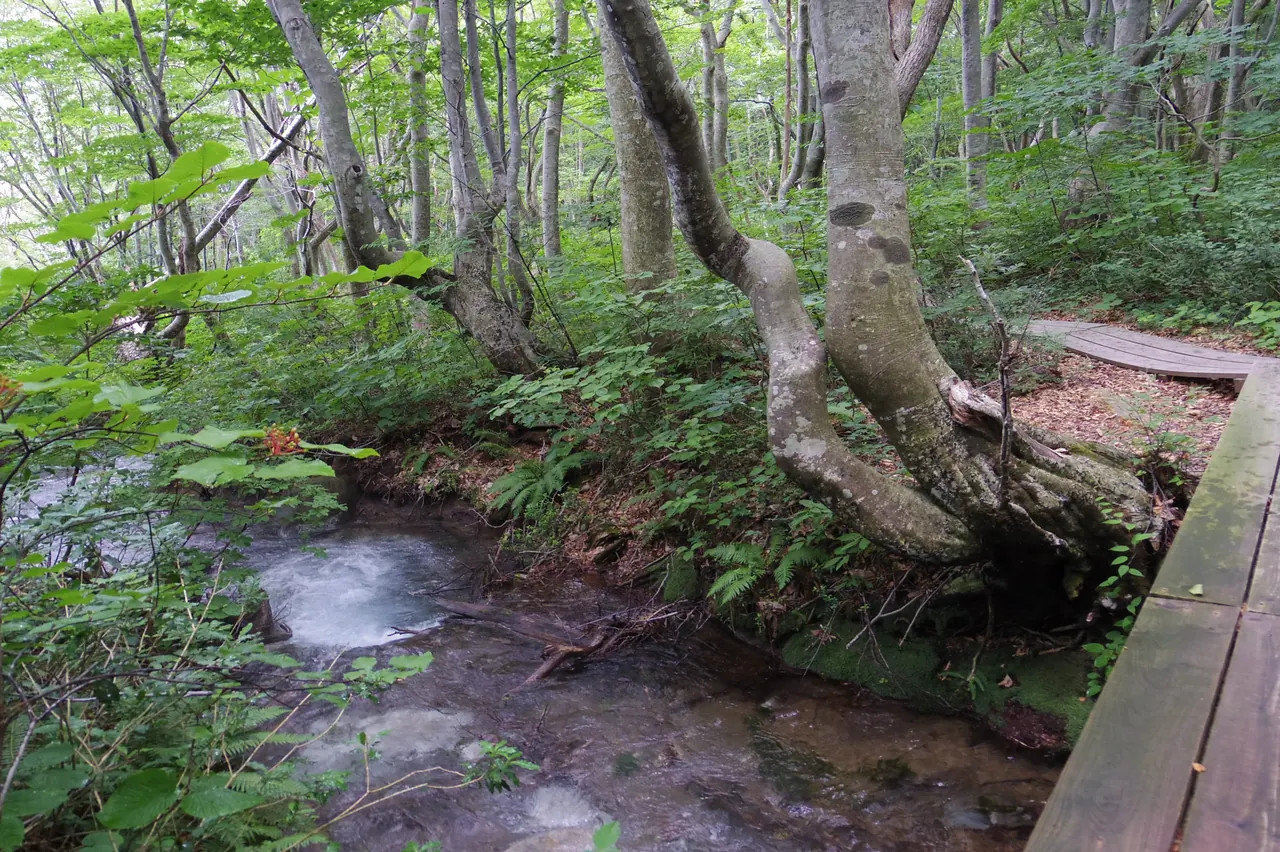
A wetland and beech forest formed by water welling up all over the forest; the wetland plant communities and springs are a national Natural Monument. Beeches whose branches were cut for charcoal grew into strange shapes known as "agariko," and the greatest of them, the roughly 300-year-old "Agariko Daio" with a trunk 7.62 m around, stands like the lord of the forest. The trail loops about 5 km and takes a little over two hours at an easy pace. See Nakajimadai and Shishigahana Wetland for more.
Food and shopping
There are no shops along the forest trails. Pick up drinks and snacks in Kisakata town before you head in.
Getting there
- By rail: the nearest station is Kisakata on the JR Uetsu Line. Only the area around Kujukushima is walkable from the station.
- To Mototaki and Shishigahana: about 20 minutes by car from Kisakata Station. The Nakajimadai Recreation Forest at the entrance to Shishigahana has a free parking lot, and in season a reservation-only shared taxi runs from Kisakata.
- To Mount Chokai: from the Kisakata Interchange area, the mountain road Chokai Blue Line climbs to Hokodate. It is closed in winter.
Getting around the area
Walk around Kujukushima, then drive on to Mototaki and Shishigahana. The Shishigahana trail takes a little over two hours to loop, so allow plenty of time. Bears live in these forests, so carry a bell and check the Nikaho City Tourism Association's notices for trail closures.
For a route that also takes in Hottai Falls on the northeast side of Mount Chokai, see Kisakata and the foot of Mount Chokai.
Sights in Kisakata & the Foot of Mount Chokai
Akita guides
See all
More areas of Akita
- Akita Station & Senshu Park
- Tsuchizaki & Kanaashi
- Oga Onsen & Shinzan
- Cape Nyudozaki
- Mount Kanpu
- Ogata
- Hachirogata & Kotooka
- Kamayahama Beach
- Gojome
- Kakunodate & Dakigaeri Gorge
- Lake Tazawa
- Nyuto Onsen & Mount Akita-Komagatake
- Nishiki & Kamihinokinai
- Hachimantai & Tamagawa Onsen
- Kazuno (Oyu & Kemanai)
- Kosaka
- Odate
- Takanosu & Tsuzureko
- Ani & Mount Moriyoshi
- Lake Taihei & Komata Gorge
- Noshiro
- Futatsui
- Fujisato (Shirakami Mountains)
- Omagari
- Kariwano
- Misato
- Yokote
- Masuda
- Yuzawa
- Ugo & Nishimonai
- Oyasukyo Gorge & Kawarage
- Mount Kurikoma
- Hottai Falls