
Natsui River Gorge
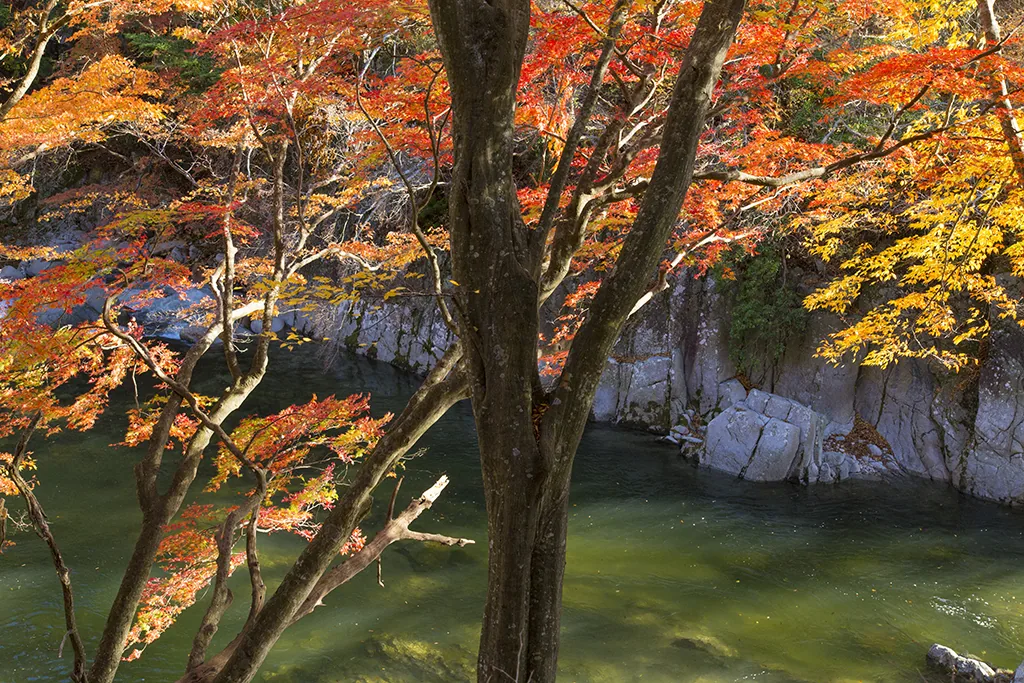
Photo: Ⓒ福島県観光物産交流協会
Areas of Fukushima
Natsui River Gorge
Natsuigawa Gorge in Iwaki: November foliage along a 15 km gorge, Kagoba Falls, views from the Ban-etsu East Line, walking and driving tips, and spring azaleas.
 Oct 10 – Nov 23Nihonmatsu Chrysanthemum Doll Festival (Nihonmatsu no Kiku Ningyo)
 GuidesFukushima Autumn Leaves: Bandai-Azuma Skyline and Goshikinuma
Find on the map
This page is translated from the Japanese edition. Read the Japanese edition
What is the area like?
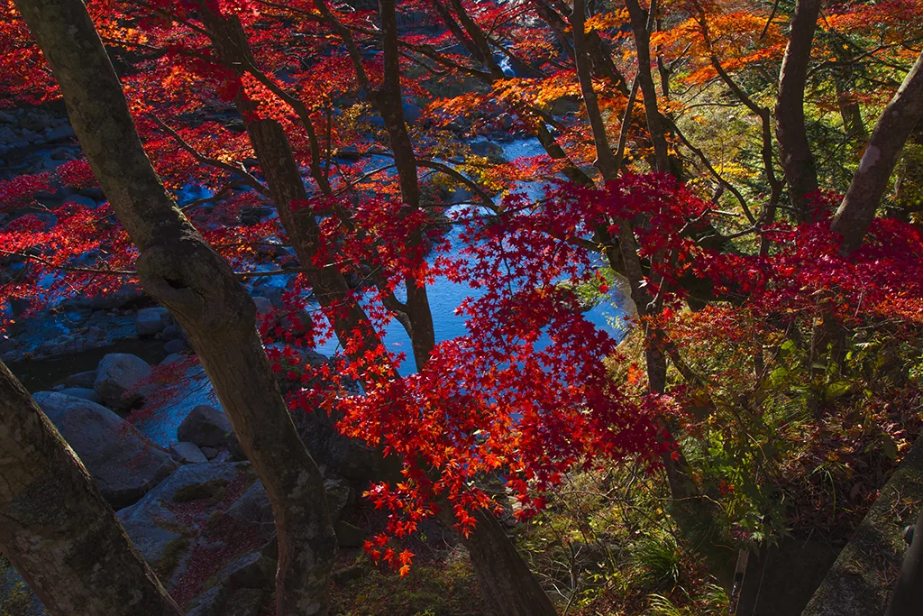
A gorge about 15 km long, carved through the Abukuma highlands by the Natsui River, which flows along the border between Iwaki City and Ono Town. Rock faces and trees crowd both banks, and the JR Ban-etsu East Line and Prefectural Road 41 follow the gorge. In autumn the whole valley usually turns red and yellow from early to late November, and you can see the leaves from the train window too.
Main sights
Natsuigawa Gorge
The river foams white between granite boulders, overhung by the red of Japanese maples. One of the gorge's best-known spots is Kagoba Falls, crowded with people viewing from the bank in foliage season. In spring, from early to mid-April, the pale pink flowers of akayashio (rock azaleas) bloom on the cliffs.
Peak timing shifts from year to year, so check Iwaki City's foliage reports before you go. See Natsuigawa Gorge.
Getting there
- By train: Eda Station on the JR Ban-etsu East Line is in the gorge; Kagoba Falls is about a 30-minute walk away.
- By car: About 30 minutes from the Iwaki-chuo IC on the Joban Expressway to Kagoba Falls. There is no parking at the falls; use lots such as the Natsuigawa Keikoku Campground.
Getting around the area
Prefectural Road 41 is a narrow road winding along the valley, and some sections have no proper walkway. On foliage weekends there is plenty of traffic, so take great care if you walk. Even without walking, you can enjoy the colors looking down into the valley from the Ban-etsu East Line.
In Iwaki (Uchigo & Yumoto), also in Iwaki City, is Shiramizu Amidado, which has been lit up at night in the foliage season. For foliage routes, see Fukushima Autumn Leaves.
Sights in Natsui River Gorge
Fukushima guides
See all
More areas of Fukushima
- Aizu-Wakamatsu
- Kitakata
- Nishiaizu
- Inawashiro
- Ura-Bandai
- Ouchi-juku & Yunokami
- Minamiaizu (Maezawa)
- Hinoemata
- Fukushima City & Hanamiyama
- Iizaka Onsen
- Takayu & Azuma
- Nihonmatsu
- Dake Onsen & Mt. Adatara
- Koriyama
- Bandai-Atami Onsen
- Miharu
- Abukuma Cave
- Sukagawa
- Shirakawa
- Kashi Highlands
- Tanagura
- Soma & Matsukawaura
- Minamisoma (Odaka)
- Tomioka & Yonomori
- Iwaki (Uchigo & Yumoto)
- Onahama & Misaki Park