
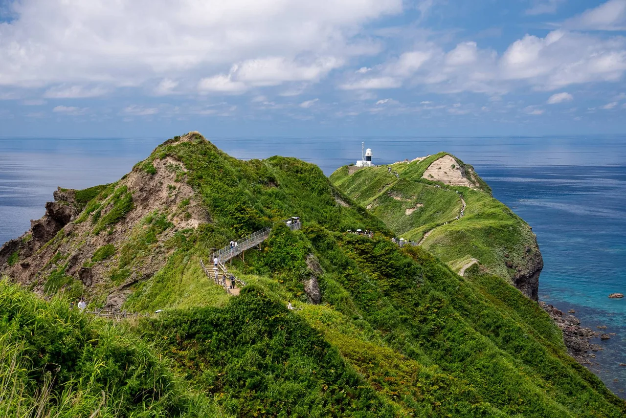
Shakotan Peninsula
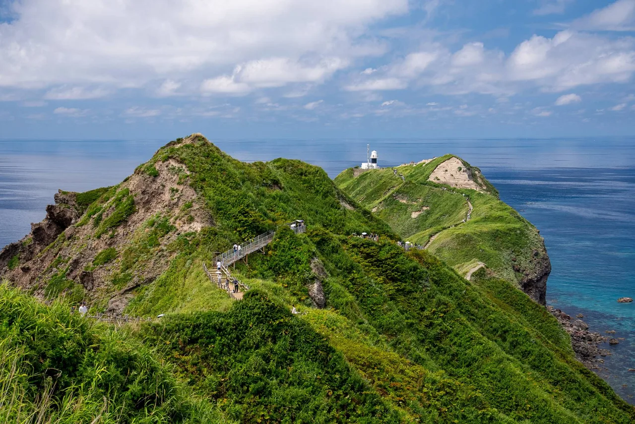
Photo: Hokkaido Love! Photo Library
Areas of Hokkaido
Shakotan Peninsula
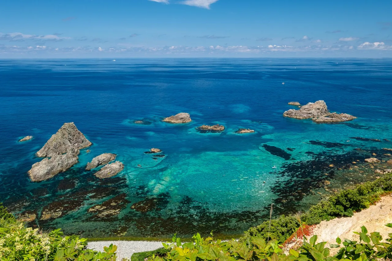
Cape Kamui and Shimamui Coast look down into the clear Shakotan Blue sea. Getting there from Otaru, when the cape trail closes, and the sea urchin season.
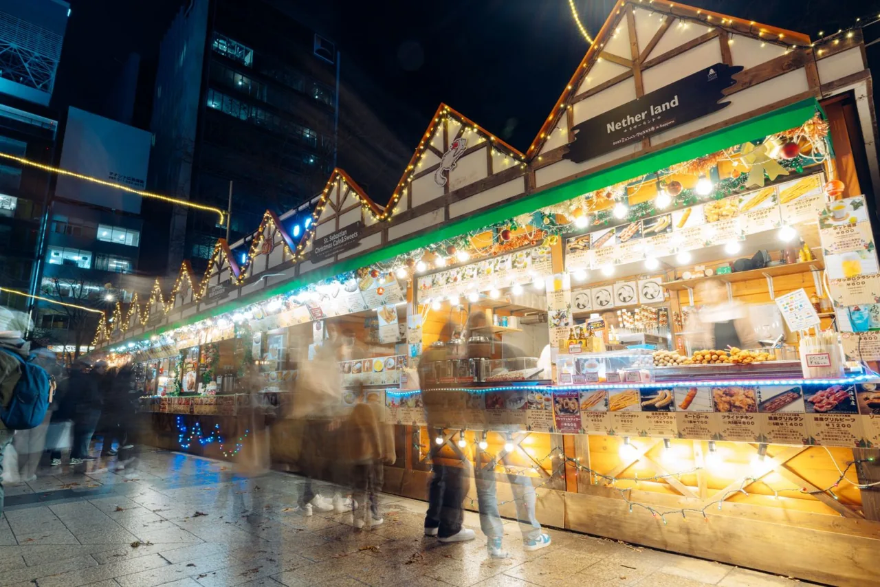 Nov 20 – Dec 25Munich Christmas Market in Sapporo
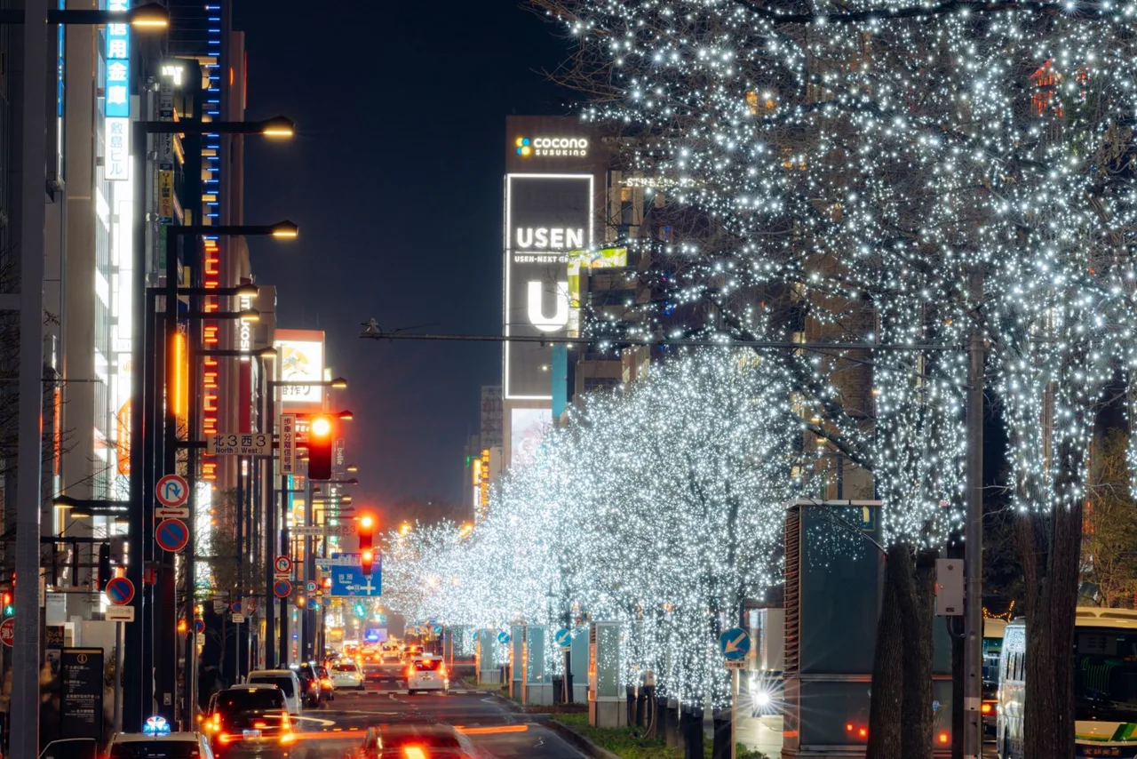 Nov 20 – Mar 14Sapporo White Illumination
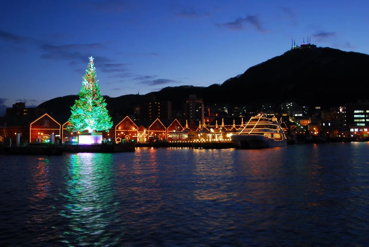 Dec 1 – Dec 25Hakodate Christmas Fantasy
Find on the map
Choose a numbered circle to zoom in there; choose a name to open the area's page.
This page is translated from the Japanese edition. Read the Japanese edition
What is the area like?
Drive west from Otaru along the Sea of Japan for a little over an hour and you reach the Shakotan Peninsula, where the mountains come right down to the sea. Its coast is a run of cliffs and rocks, and on sunny days the water turns a deep, clear blue known as "Shakotan Blue". These waters once thrived on herring fishing, and today they are known for summer sea urchin.
The main sights are two viewpoints near the tip of the peninsula: Cape Kamui and Shimamui Coast. At both you walk from the car park up onto the cliffs and look straight down into the sea. The color is at its brightest in summer, when the waves are calm and the sun is strong.
Main sights
Cape Kamui
A long, narrow cape jutting from the tip of the peninsula into the Sea of Japan. Past the entrance gate beyond the car park, the Charenka Trail follows the ridge to a viewing area at the end, looking down on Shakotan Blue on both sides. The gate recalls the one that once barred women from the cape.
The trail is a ridge path with ups and downs, so wear comfortable shoes. It is closed in strong wind, in winter and at night. The hours the gate is open vary by season, so check before you go. See Cape Kamui for details.
Shimamui Coast
A stretch of coast on the north side of the peninsula, chosen as one of Japan's 100 best beaches. From the car park you walk through a narrow tunnel about 30 m long, once dug to carry herring, and a cove opens up in front of you. Rocks dot the water below the cliffs, and on sunny days you can see right to the seabed. The path from the viewpoint down to the shore is steep, so if you go down, save energy for the climb back. See Shimamui Coast for details.
Food and shopping
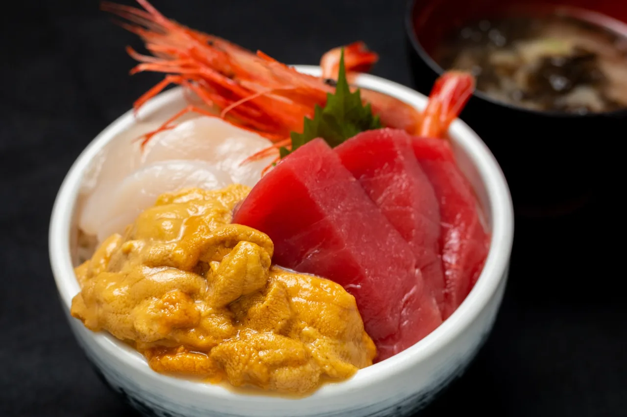
Shakotan's summer flavor is sea urchin. The sea urchin season usually runs from June to around August, when more shops near the fishing ports and along the main road serve bowls of raw sea urchin on rice. Boats cannot go out in rough seas, so some days shops have none. Outside the season, and even in summer depending on the catch, expect that raw sea urchin bowls may not be available.
There are few shops near the tip of the peninsula, so pick up drinks and snacks in town before heading to the capes.
Getting there
- Car: About 1 hour 30 minutes from Otaru Station to Cape Kamui and about 1 hour 20 minutes to Shimamui Coast. Both have car parks.
- Bus: Hokkaido Chuo Bus runs the Shakotan Line from Otaru Station. Buses to Cape Kamui are seasonal, from April to around October, and few in number. Check times with Hokkaido Chuo Bus.
For a day trip from Sapporo, a car or a bus tour is the practical choice. To combine the trip with a walk around Otaru, see the Otaru area page.
Getting around the area
Cape Kamui and Shimamui Coast are about 20 to 30 minutes apart by car. See one in the morning, have a sea urchin bowl for lunch, and visit the other in the afternoon, and half a day to a day is enough. Cape Kamui is also known for its sunsets, but the trail closes at night, so in the evening keep an eye on when the gate shuts.
The weather on the peninsula changes quickly, and even on a sunny day the wind can be strong on the cape. Check whether the Cape Kamui trail is open that day with the Shakotan Tourism Association before you set out.
Sights in Shakotan Peninsula
Recommended hotels in Shakotan PeninsulaPR
See prices and availability for hotels in Sapporo and book on our partner Trip.com.
See hotels in Sapporo on Trip.comHokkaido guides
See all
More areas of Hokkaido
- Sapporo Station & Odori
- Moerenuma Park
- Susukino
- Hitsujigaoka
- Maruyama & Hokkaido Jingu
- Mt. Moiwa
- Jozankei Onsen
- Otaru
- Hakodate Bay Area & Motomachi
- Hokuryu
- Goryokaku
- Yunokawa
- Onuma Park
- Matsumae
- Asahiyama Zoo
- Mt. Asahidake
- Sounkyo Gorge
- Shirogane, Biei
- Mt. Tokachidake
- Nakafurano
- Noboribetsu Onsen
- Lake Shikaribetsu
- Nukabira & Lake Nukabira
- Mikuni Pass
- Lake Toya & Mt. Usu
- Muroran
- Miyanosawa
- Lake Shikotsu
- Shiretoko & Utoro
- Takinoue
- Niseko
- Shari
- Abashiri
- Nakashibetsu & Kaiyodai
- Biei Hills
- Asahikawa
- Notsuke Peninsula
- Lake Akan & Lake Onneto
- Lake Mashu & Lake Kussharo
- Tsurui
- Kushiro Wetland
- Wakkanai
- Sarobetsu Wetland
- Cape Soya
- Rishiri Island
- Rebun Island
- Cape Erimo