
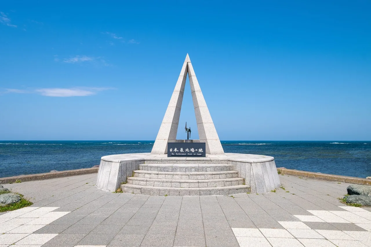
Cape Soya
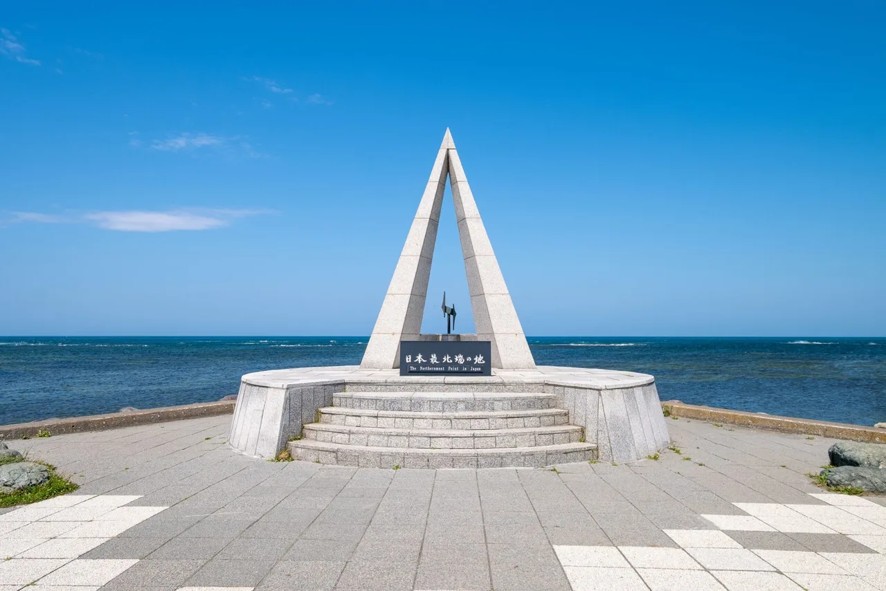
Photo: Hokkaido Love! Photo Library
Areas of Hokkaido
Cape Soya
Cape Soya, the northern tip of Hokkaido: the Northernmost Point monument, the White Road of scallop shells in the Soya Hills, and the bus from Wakkanai.
 Nov 20 – Dec 25Munich Christmas Market in Sapporo
 Nov 20 – Mar 14Sapporo White Illumination
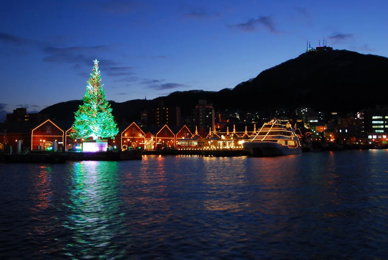 Dec 1 – Dec 25Hakodate Christmas Fantasy
Find on the map
This page is translated from the Japanese edition. Read the Japanese edition
What is the area like?
About 50 minutes east of Wakkanai Station by bus along the coast, with Soya Bay on your left, you reach Cape Soya, the northernmost tip of Hokkaido's main island. At the end of the cape, at 45°31'22" N, stands the Monument of the Northernmost Point of Japan, where a steady stream of visitors stop for photos. On clear days the outline of Sakhalin can sometimes be seen across the sea, about 40 km away.
Behind the cape spread the Soya Hills, gentle slopes rolling like waves. The land was shaped toward the end of the Ice Age as the ground froze and thawed again and again, and the hills are listed as a Hokkaido Heritage site. Sea views at the cape and ranches and wind turbines in the hills give the area two quite different sides.
Main sights
Cape Soya
The triangular monument at the tip is modeled on one point of the North Star. Next to it is a statue of Mamiya Rinzo, who explored Karafuto in the Edo period and confirmed that it was an island; he gazes out across the sea. It stands right beside the coastal road, a short walk from the bus stop. See Cape Soya.
Soya Hills and the White Road
The hills south of the cape are covered with ranches, and wind turbines line the ridges. The White Road runs through the hills for about 3 km, paved with crushed scallop shells from the local fishery, drawing a white line across the green slopes. It forms part of the Soya Hills footpath course, and you can walk or drive it.
The White Road is closed from winter into early spring. The dates vary by year, and from 2026 work to replace the wind turbines in the hills has also begun, so there may be times when it's closed for construction. Before you go, check Wakkanai City's tourist information to see whether it's open.
Food and shopping
There are a few souvenir shops and places to eat around the cape. Some serve dishes made with scallops and other seafood from the Soya waters, and some sell keepsakes marked "Northernmost Point of Japan."
There aren't many shops, and in winter some keep shorter hours or close. If you plan to eat while waiting for the bus, pick up something light around Wakkanai Station first.
Getting there
- By bus: From the bus terminal at Wakkanai Station, take the Soya Bus Tenpoku Soyamisaki Line (bound for Hamatonbetsu) and get off at Soyamisaki. The ride takes about 50 minutes. There are only a few buses a day, so check both ways on the Soya Bus timetable before you go.
- By car: Head east from central Wakkanai along the coast on National Route 238. There is a car park at the cape.
- To the White Road: No route buses run there. Drive, or walk the footpath.
For getting to Wakkanai, see the Wakkanai area guide.
Getting around the area
If you come by bus, the usual plan is to see the monument and the statue and browse the souvenir shops in the time before the return bus. Miss it and you'll face a long wait for the next one, so keep the return time at hand.
With a car, drive up into the hills after the cape and take the White Road through the ranches and turbines for scenery quite unlike the cape. Wakkanai City asks drivers to enter the White Road from the Cape Soya end. The roads in the hills run through ranch land, so watch for cattle and farm vehicles and stay on the road.
Back from the cape, you can walk around the port with the Wakkanai area guide, or take a ferry to Rishiri Island or Rebun Island to continue your trip.
Sights in Cape Soya
Recommended hotels in Cape SoyaPR
See prices and availability for hotels in Sapporo and book on our partner Trip.com.
See hotels in Sapporo on Trip.comHokkaido guides
See all
More areas of Hokkaido
- Sapporo Station & Odori
- Moerenuma Park
- Susukino
- Hitsujigaoka
- Maruyama & Hokkaido Jingu
- Mt. Moiwa
- Jozankei Onsen
- Otaru
- Hakodate Bay Area & Motomachi
- Hokuryu
- Goryokaku
- Yunokawa
- Onuma Park
- Matsumae
- Asahiyama Zoo
- Mt. Asahidake
- Sounkyo Gorge
- Shirogane, Biei
- Mt. Tokachidake
- Nakafurano
- Noboribetsu Onsen
- Lake Shikaribetsu
- Nukabira & Lake Nukabira
- Mikuni Pass
- Lake Toya & Mt. Usu
- Shakotan Peninsula
- Muroran
- Miyanosawa
- Lake Shikotsu
- Shiretoko & Utoro
- Takinoue
- Niseko
- Shari
- Abashiri
- Nakashibetsu & Kaiyodai
- Biei Hills
- Asahikawa
- Notsuke Peninsula
- Lake Akan & Lake Onneto
- Lake Mashu & Lake Kussharo
- Tsurui
- Kushiro Wetland
- Wakkanai
- Sarobetsu Wetland
- Rishiri Island
- Rebun Island
- Cape Erimo