Izu Kogen in One Day: Lake Ippeki, Mt. Omuro and Jogasaki Coast
- Lake Ippeki (Ippekiko)
- Mt. Omuro (Omuroyama)
- Izu Shaboten Zoo
- Jogasaki Coast and Kadowaki Suspension Bridge

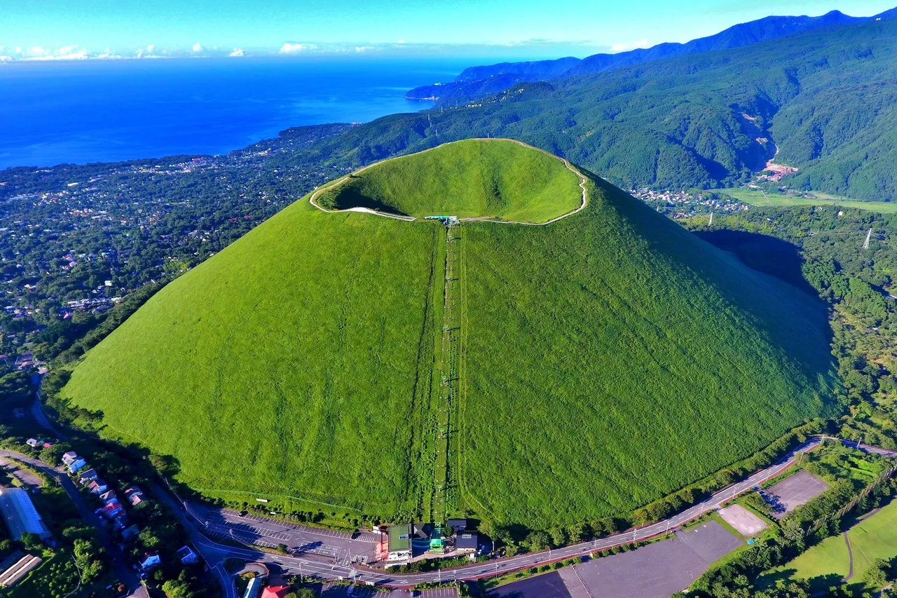
Photo: copyright© Shizuoka Prefectural Tourism Association.
Areas of Shizuoka
Things to do in Ito and Izu-Kogen: the crater walk on Mt. Omuro, the bridge over the lava cliffs of Jogasaki, Komuroyama azaleas, Lake Ippeki and capybara baths.
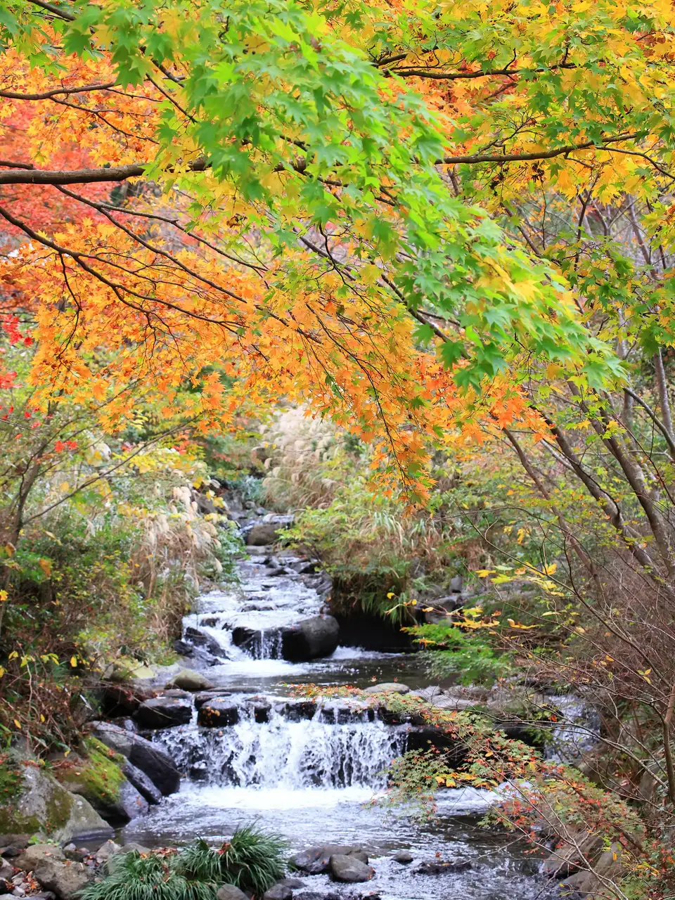 Nov 14 – Dec 6Atami Baien Autumn Leaves Festival (Momiji Matsuri)
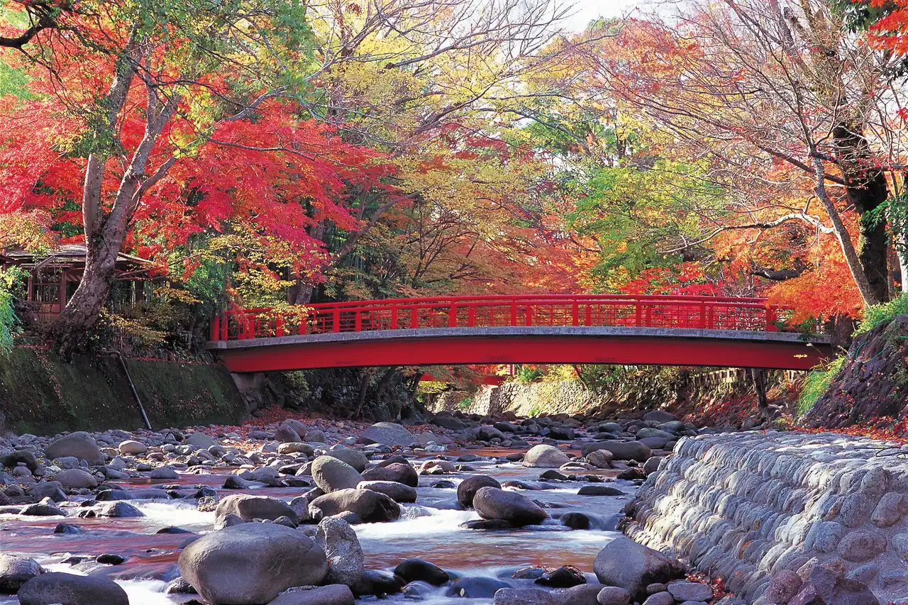 GuidesShizuoka Autumn Leaves: Mt. Fuji, Shuzenji, Sumatakyo and Temples
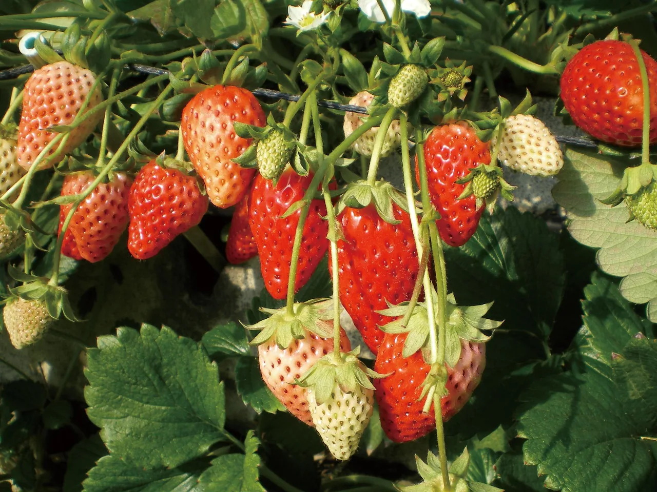 GuidesStrawberry and Mikan Picking in Shizuoka: Kuno, Izu, Ito, Mikkabi
This page is translated from the Japanese edition. Read the Japanese edition
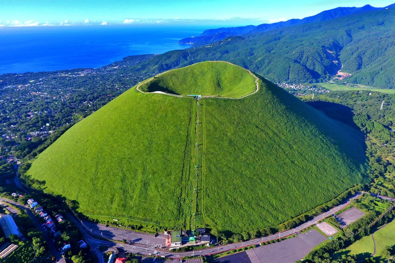
The land from Ito Station south to Izu-Kogen was shaped by the eruption of Mt. Omuro about 4,000 years ago. The bowl-shaped Mt. Omuro rises over the area, and its lava ran down to the sea and hardened into the cliffs of the Jogasaki Coast. To the north is Lake Ippeki, formed in a crater, and by the sea at Kawana is Komuroyama with its azaleas.
The JR Ito Line and Izu Kyuko railway run along the coast, and buses from Ito and Izu-Kogen stations head up to the mountains and lake. Atami is to the north, and farther south on the Izu Kyuko line is Atagawa & Inatori.
A 580 m mountain and a Natural Monument of Japan. To protect it, you cannot climb on foot; a chairlift takes about 6 minutes to the top. The summit holds a crater about 300 m across and 70 m deep, and the Ohachi-meguri walk around its rim (about 30 minutes) looks out over Mt. Fuji and the Izu islands on clear days. Every year on the second Sunday of February, the grass on the mountain is burned off. See Mt. Omuro.
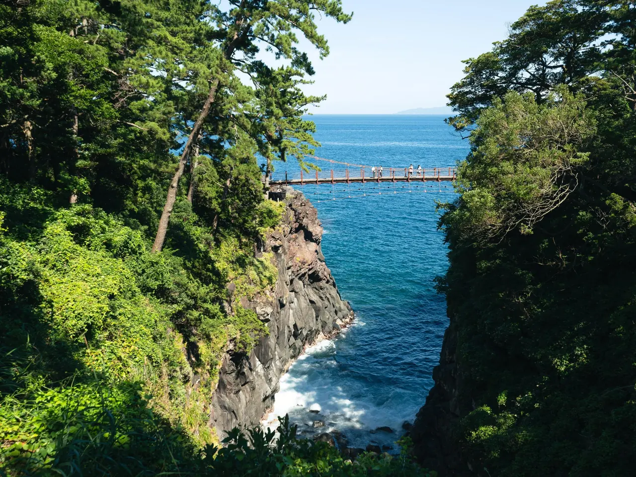
A rocky coast carved by the waves from Mt. Omuro's lava. Over an inlet hangs the Kadowaki Suspension Bridge, 48 m long and 23 m above the sea, with waves crashing on black rock below. The nearby Kadowakizaki Lighthouse has an observation deck on top. The rocks are slippery, so wear good walking shoes. See Jogasaki Coast and Kadowaki Suspension Bridge.
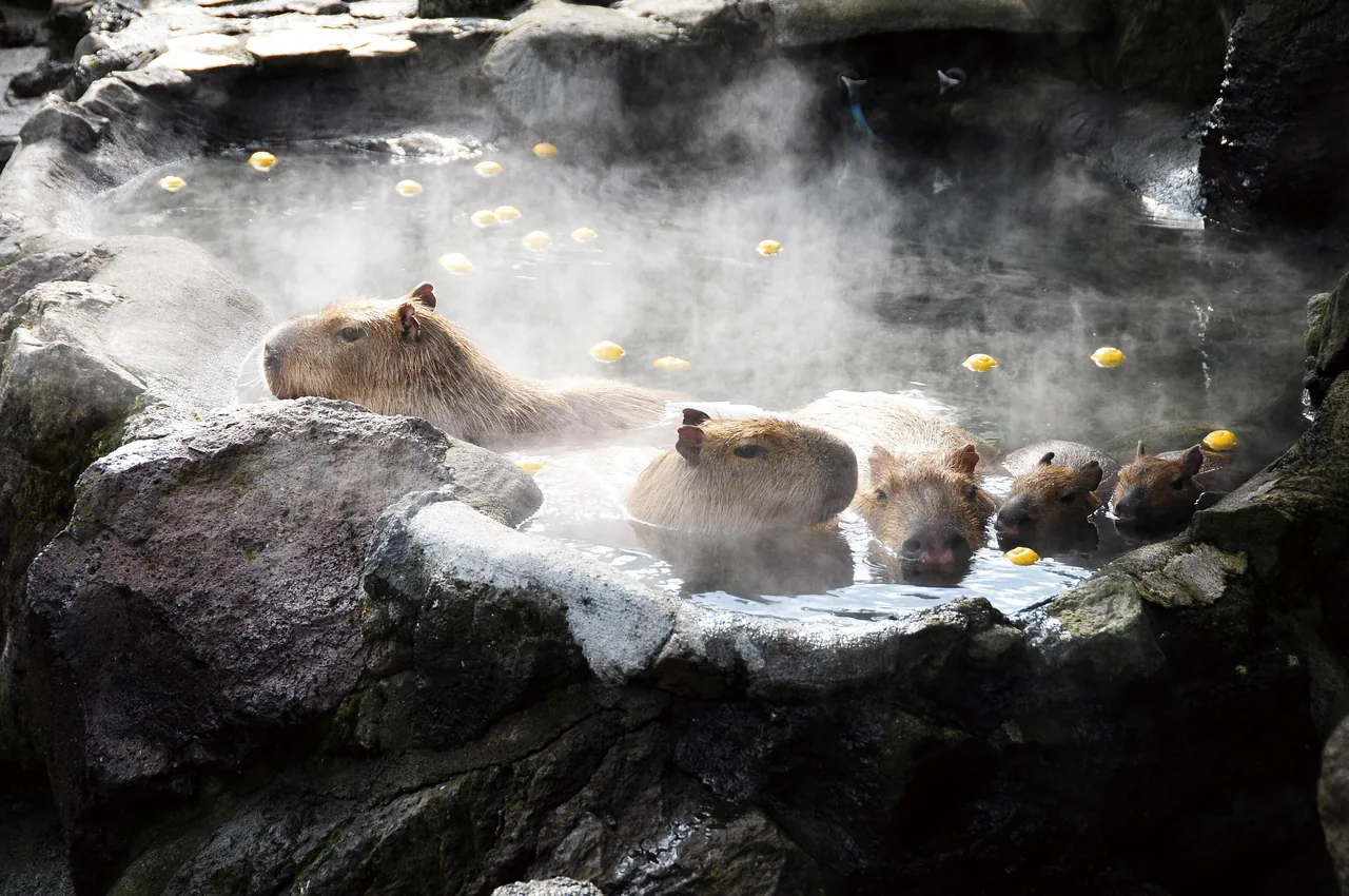
A zoo and botanical garden at the foot of Mt. Omuro with about 1,500 kinds of cacti and succulents and about 150 animal species. Its winter favorite is the original capybara hot-spring bath, which ran from late November to early April in the 2025–26 season. Times vary by day, so check the official website. See Izu Shaboten Zoo.
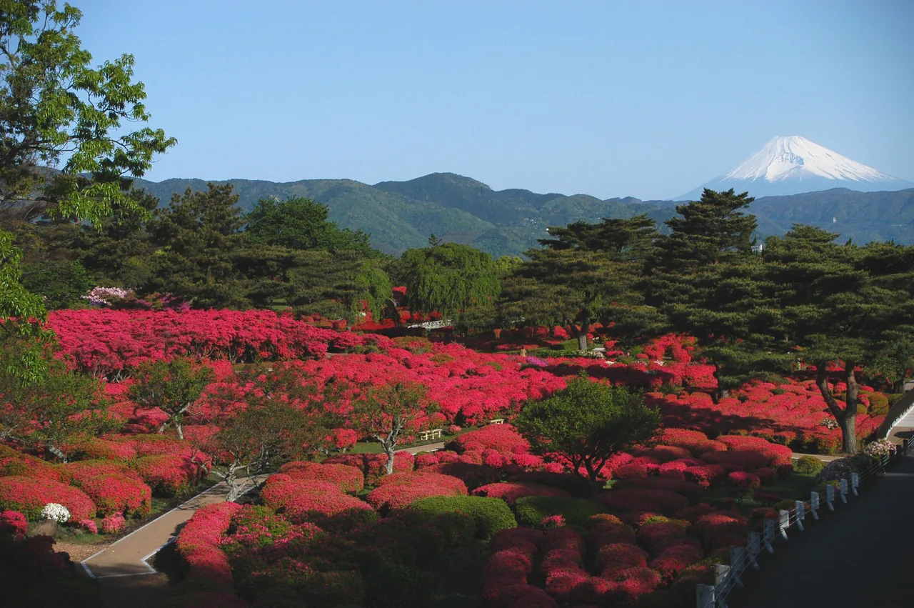
A park on and around 321 m Mt. Komuro, with a chairlift to the top. Its azalea garden has about 100,000 plants of 40 varieties, and from late April to early May the slope turns red. See Komuroyama Park.
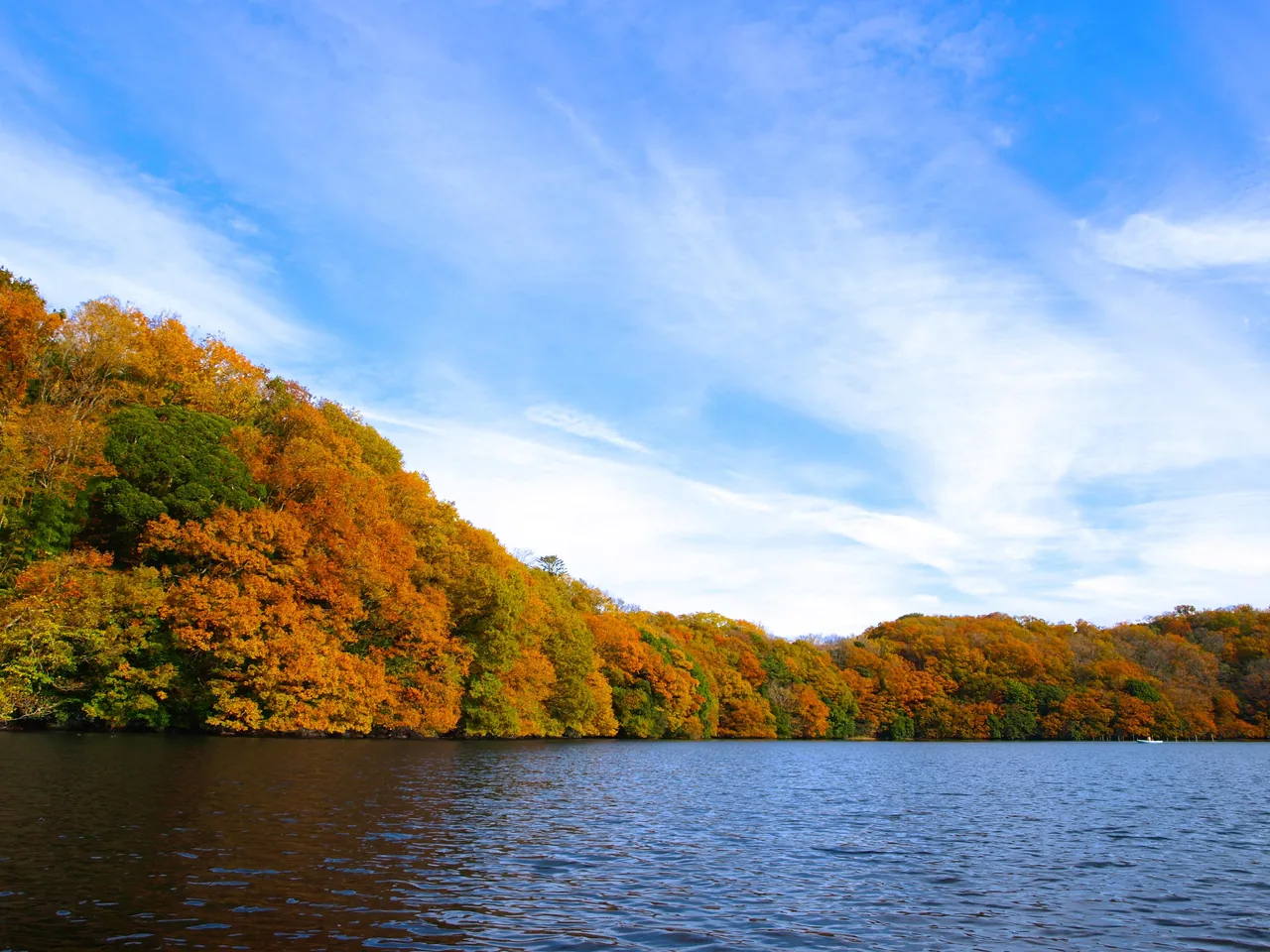
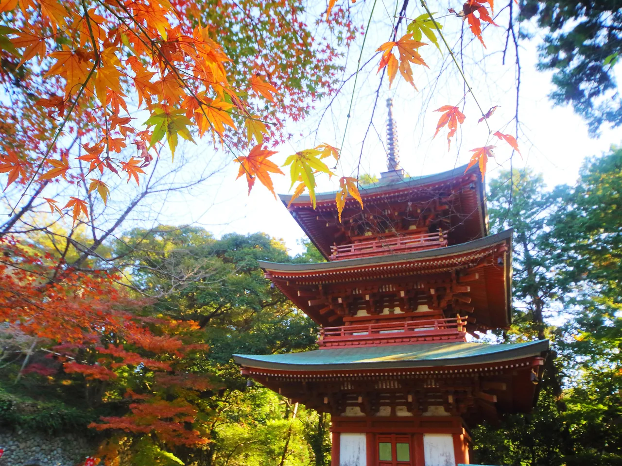
A crater lake about 4 km around, also called the Eye of Izu. Part of the lakeside path is sometimes closed so you cannot walk all the way round, so check Ito City's tourist information before you go. The trees by the lake turn color in autumn. See Lake Ippeki.
Ito is also a town of mandarin orchards on slopes facing the sea. From about October to January you can pick mandarins, and the roads in the Usami district are lined with picking farms (see fruit picking in Shizuoka). You can find places to eat in the list further down this page.
Mt. Omuro and Izu Shaboten Zoo share a bus stop, so you can visit both together. You reach the Jogasaki Coast from the train station, while Lake Ippeki and Komuroyama are separate bus trips. Buses are not frequent, so check the return times first.
For combining this area with the rest of the peninsula, see our Izu Peninsula travel guide.