
Numazu Port
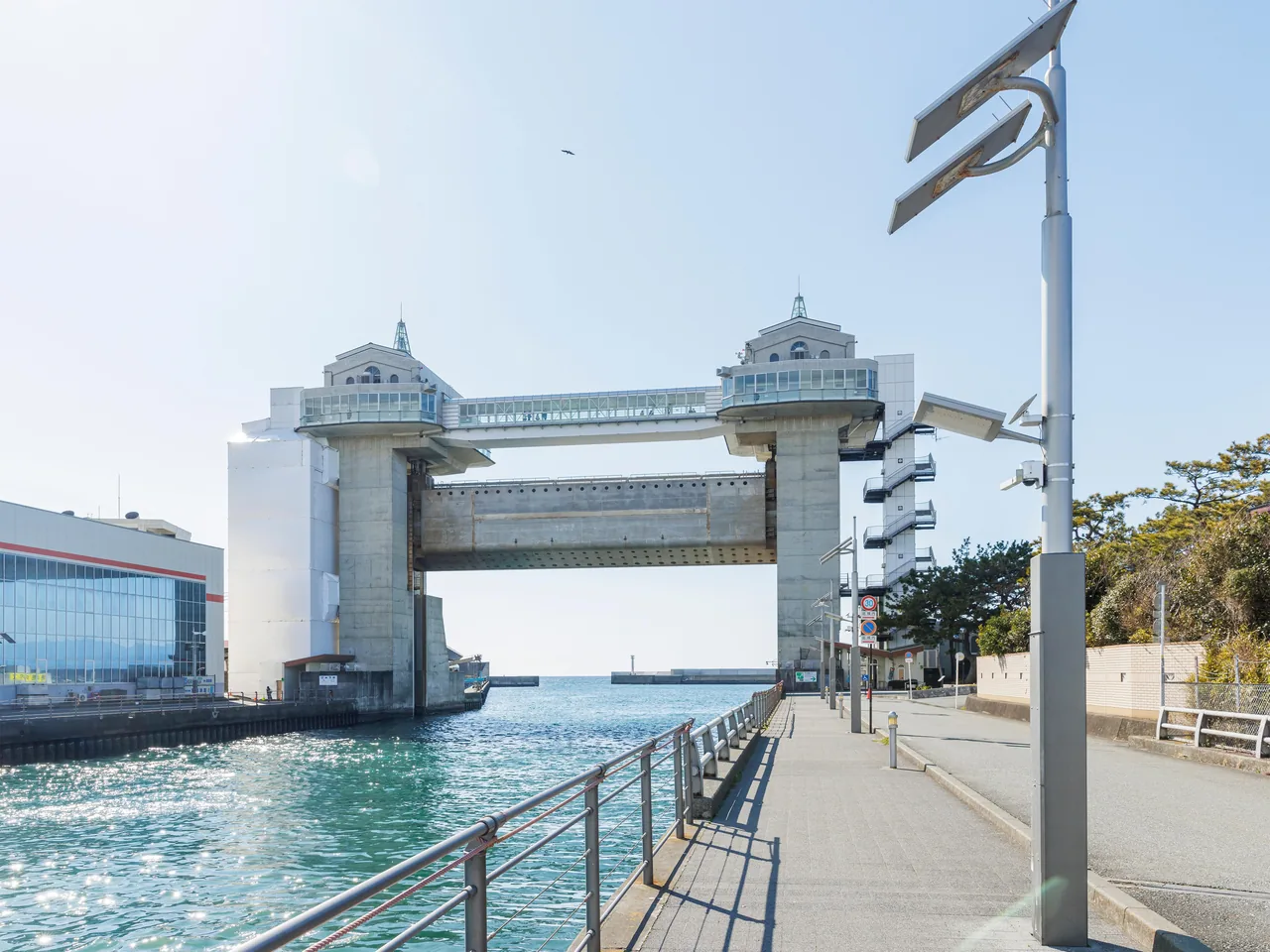
Photo: copyright© Shizuoka Prefectural Tourism Association.
Areas of Shizuoka
Numazu Port
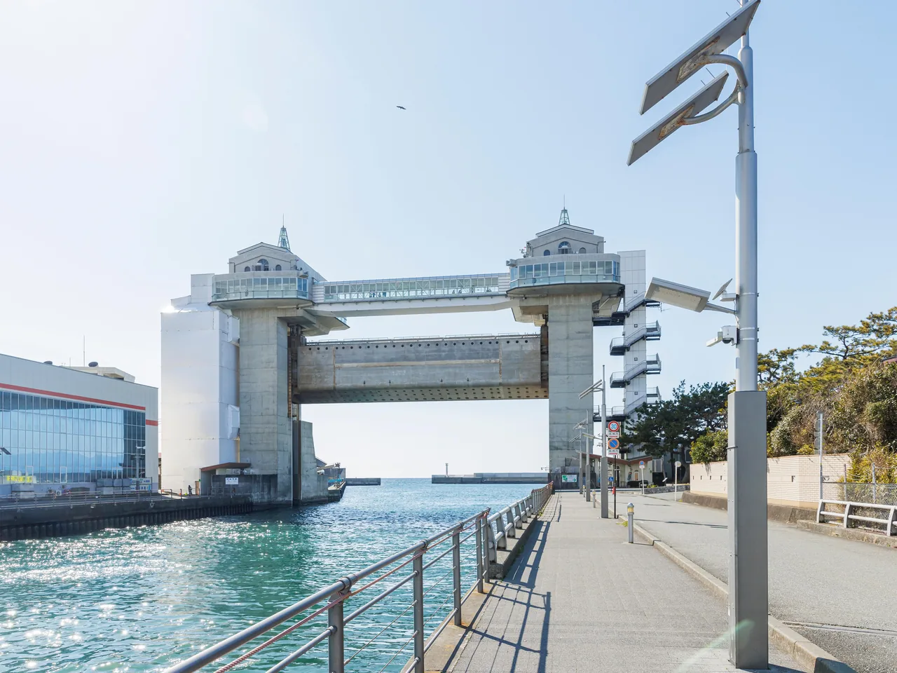
Numazu Port faces Suruga Bay. The Byuo floodgate with a walkway 30 m up overlooking the port and Mt. Fuji, dried-fish shops and seafood diners, and the bus there.
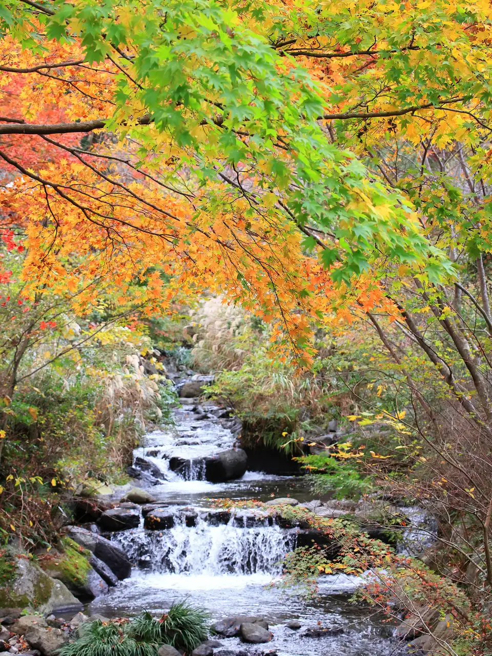 Nov 14 – Dec 6Atami Baien Autumn Leaves Festival (Momiji Matsuri)
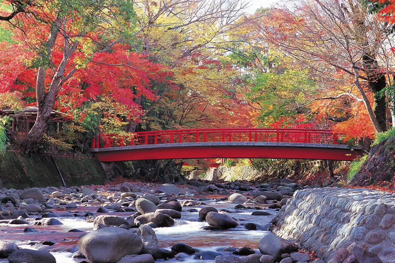 GuidesShizuoka Autumn Leaves: Mt. Fuji, Shuzenji, Sumatakyo and Temples
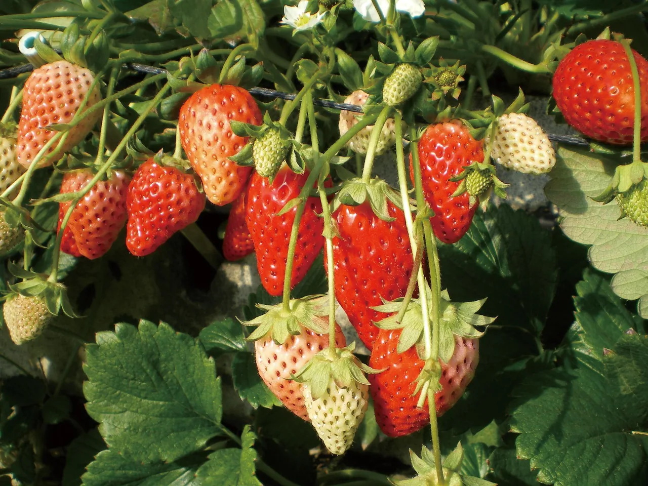 GuidesStrawberry and Mikan Picking in Shizuoka: Kuno, Izu, Ito, Mikkabi
Find on the map
This page is translated from the Japanese edition. Read the Japanese edition
What is the area like?
About 2 km south of JR Numazu Station, Numazu Port faces Suruga Bay. Dried-fish shops and seafood diners cluster around it, busy with people who come for dried horse mackerel and fish from the bay.
At the harbor entrance stands Byuo, a large floodgate built to protect the port and town from tsunami, with an observation walkway on top looking out over the port and sea. Follow the coast west to Cape Osezaki, which juts into Suruga Bay.
Main sights
Byuo observation floodgate
An observation walkway about 30 m above the ground spans two towers, with views of the port, Suruga Bay and, on clear days, Mt. Fuji and the Hakone mountains. It is a floodgate for closing the harbor in a tsunami, and what makes it unusual is that you can go up it as a viewpoint. See Numazu Port and Byuo.
Food and shopping
Dried-fish shops and seafood diners line the port, serving dried horse mackerel and fish from Suruga Bay. The usual plan is to take in the view from Byuo and then have lunch at a harbor diner. Shizuoka's seafood is covered in our Shizuoka food guide.
Getting there
- Bus: From the south exit of JR Numazu Station, take an Izuhakone Bus or Tokai Bus and get off at Numazu-ko.
- On foot: The port is about 2 km from Numazu Station, about 30 minutes' walk.
Getting around the area
Byuo and the diners are close together, so you can walk everywhere. The diners get busy at lunchtime, so go up Byuo first and eat a little later for a more relaxed meal.
Numazu City's information is on the Numazu City page for Numazu Port and Byuo.
Sights in Numazu Port
Shizuoka guides
See all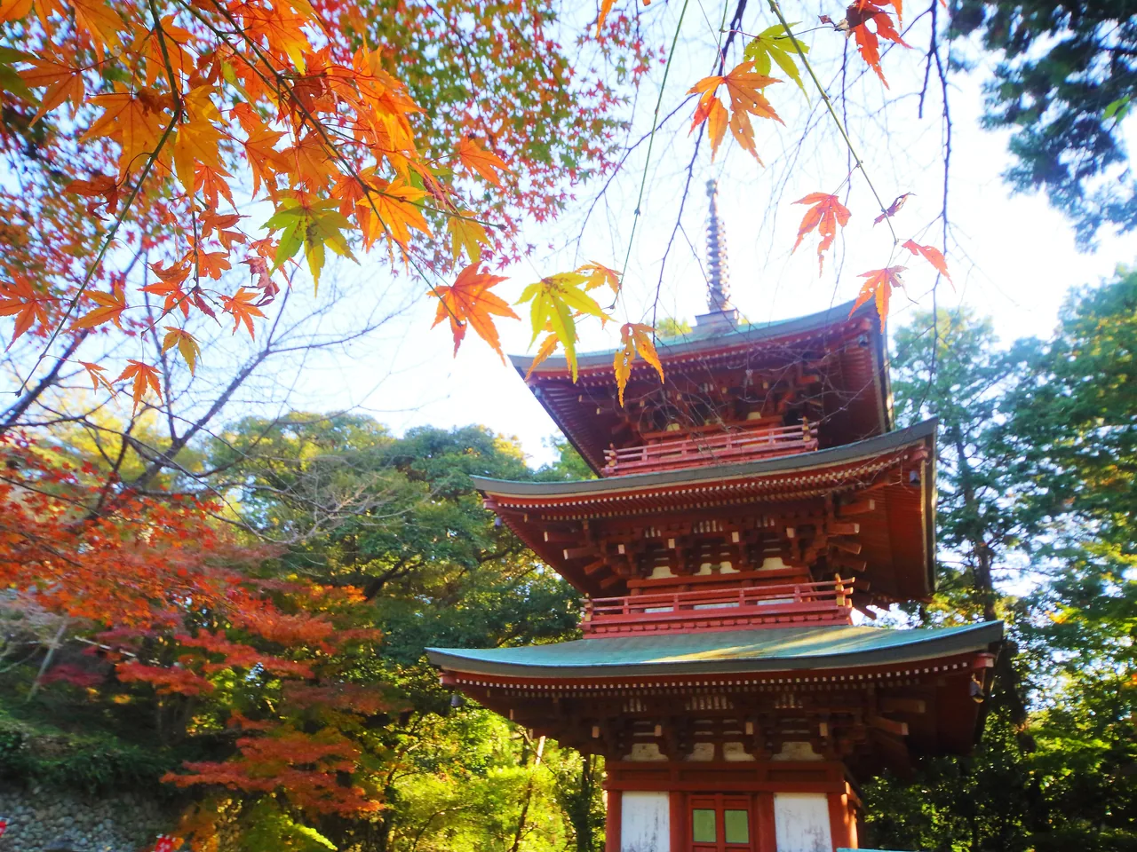
More areas of Shizuoka
- Atami
- Hatsushima
- Ito & Izu-Kogen
- Atagawa & Inatori
- Kawazu
- Shimoda
- Cape Irozaki
- Matsuzaki & Kumomi
- Nishiizu (Dogashima & Koganezaki)
- Shuzenji
- Amagi-Yugashima
- Izu-Nagaoka & Nirayama
- Mishima
- Western Hakone (Mishima Skywalk & Yamanaka Castle)
- Cape Osezaki
- Gotemba
- Oyama (Takenoshita)
- Susono
- Southern Slopes of Mt. Fuji (Mizugatsuka & Nishiusuzuka)
- Fujinomiya
- Shiraito Falls & Lake Tanuki
- Asagiri Highlands
- Fuji City
- Tagonoura
- Obuchi Sasaba
- Kanbara
- Yui & Satta Pass
- Shimizu & Miho
- Nihondaira & Kunozan
- Central Shizuoka City
- Utsunoya
- Yaizu
- Okabe (Gyokuro no Sato)
- Kawane
- Sumatakyo Gorge
- Okuoi-Kojo Station
- Kanaya (Makinohara Plateau)
- Sagara
- Makinohara (Hagima)
- Omaezaki
- Kakegawa
- Higashiyama & Nissaka
- Daito & Osuka (Takatenjin & Yokosuka Castles)
- Fukuroi (Kasuisai & Yusanji)
- Hattasan
- Mori
- Iwata
- Hamamatsu
- Tenryu-Futamata
- Okuhamanako (Hokoji & Ryugashido Cave)
- Bentenjima & Arai