Mishima Half-Day Itinerary: Shrine, Spring Water and the Skywalk
- Mishima Taisha Shrine
- Genbei River (Genbeigawa)
- Kakitagawa Park
- Mishima Skywalk

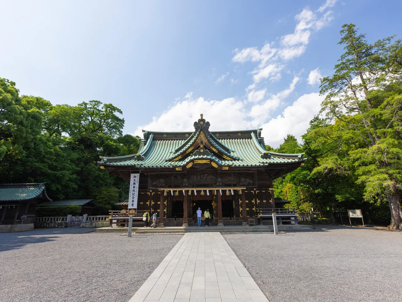
Photo: copyright© Shizuoka Prefectural Tourism Association.
Areas of Shizuoka
Things to do in Mishima: Mishima Taisha, stepping stones on the spring-fed Genbei River, the blue springs of Kakitagawa, lava-made Ayutsubo Falls and local snacks.
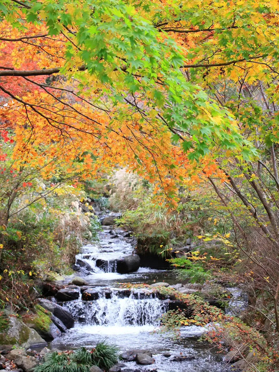 Nov 14 – Dec 6Atami Baien Autumn Leaves Festival (Momiji Matsuri)
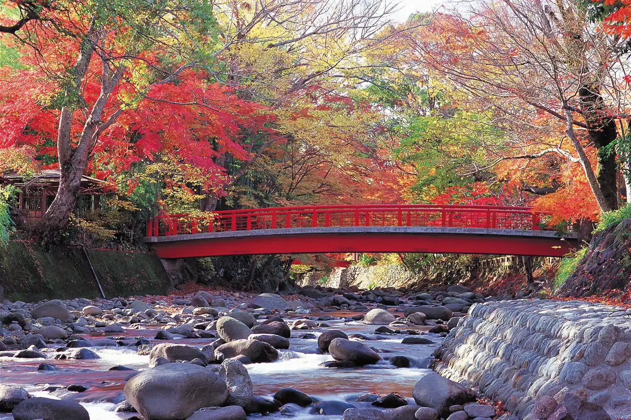 GuidesShizuoka Autumn Leaves: Mt. Fuji, Shuzenji, Sumatakyo and Temples
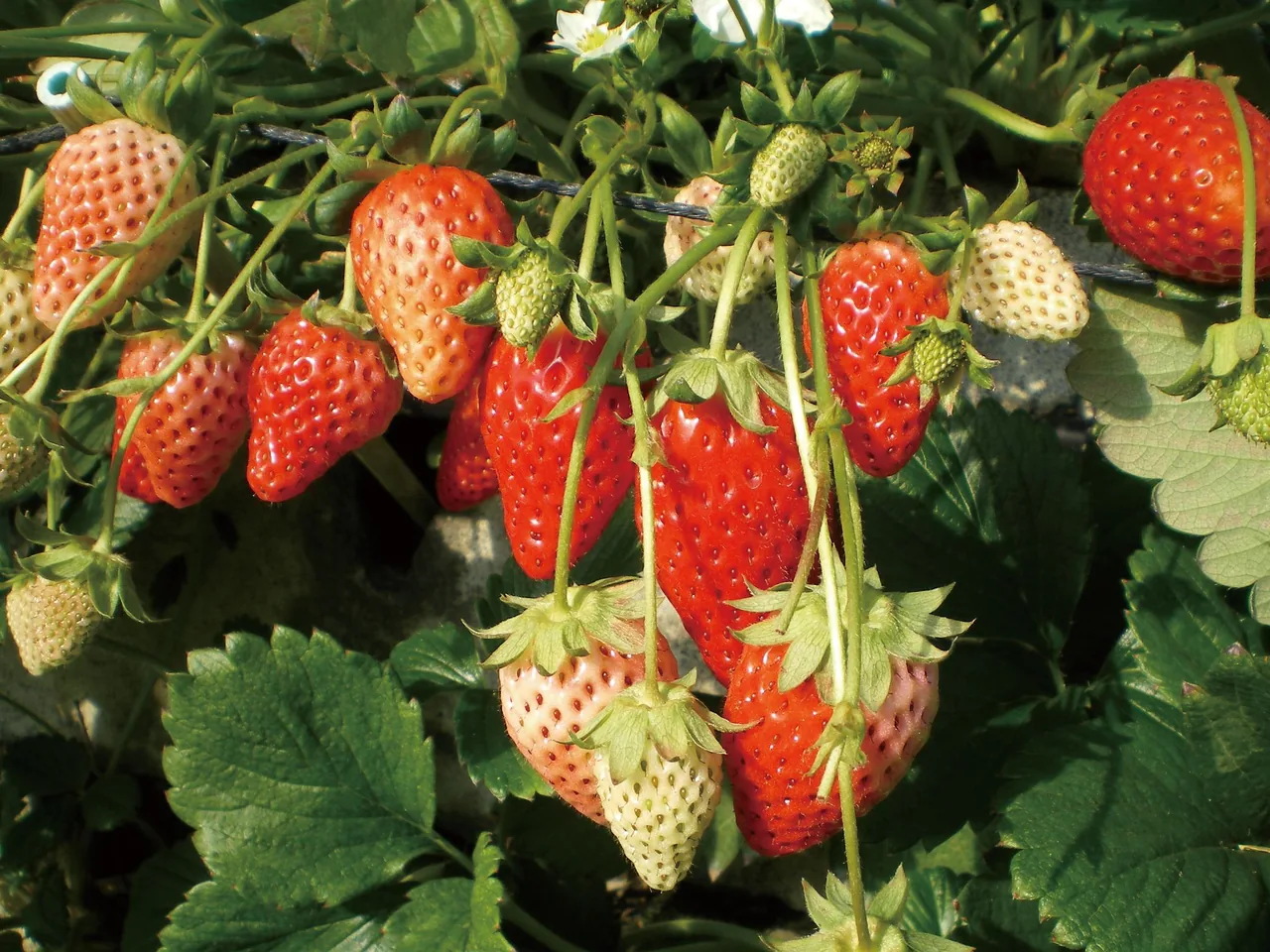 GuidesStrawberry and Mikan Picking in Shizuoka: Kuno, Izu, Ito, Mikkabi
This page is translated from the Japanese edition. Read the Japanese edition
Walk south from Mishima Station on the Tokaido Shinkansen and clear streams run through the town. Rain and snow that fall on Mt. Fuji flow underground and well up around Mishima, which is why it is called the city of water. In the middle of town stands Mishima Taisha, the leading shrine of old Izu Province.
In neighboring Shimizu, the spring-fed Kakitagawa River rises, and to the north in Nagaizumi, a waterfall and lava mounds formed by the Mishima lava flow from an eruption of Mt. Fuji about 10,000 years ago remain. South on the Izuhakone Railway is Izu-Nagaoka & Nirayama, and up in the hills to the east is the Mishima Skywalk in Western Hakone.
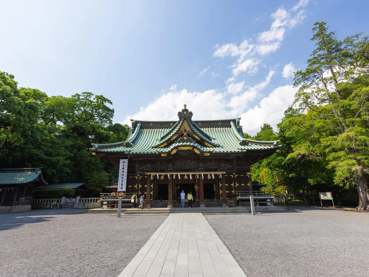
The shrine where Minamoto no Yoritomo, in exile in Izu, prayed for the revival of the Minamoto clan; the grounds keep a stone where he is said to have sat. The halls, whose framework was raised in 1867, are Important Cultural Properties, with fine carvings under the eaves and on the walls. The fragrant olive tree in the grounds is a Natural Monument, and in early autumn its sweet scent drifts along the approach. See Mishima Taisha Shrine.
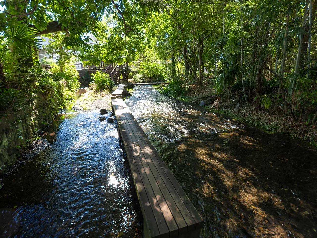
A stream fed by Mt. Fuji's underground water, which wells up at Rakujuen park by the station. Stepping stones and boardwalks let you walk just above the water. On some nights from early May to early June, fireflies appear. The stones are slippery after rain, so take care. See Genbei River.
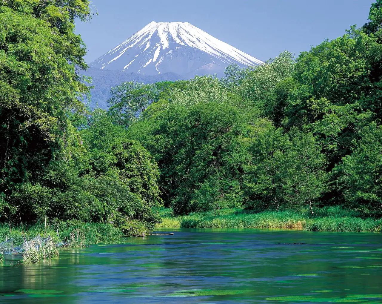
A park overlooking the source of the Kakitagawa, where Mt. Fuji's water bursts out in Shimizu town. The springs are said to produce more than a million tonnes a day, and the river is a Natural Monument. One spring inside a round frame looks deep blue on sunny days and is called the Blue Hole. See Kakitagawa Park.
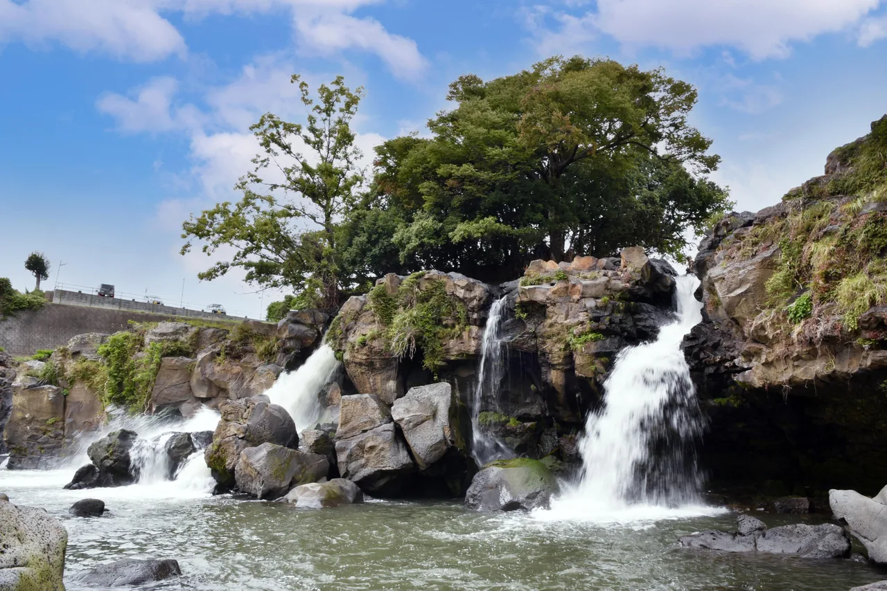
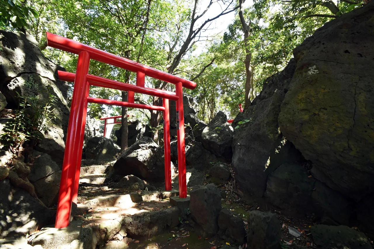
Near Shimotogari Station in Nagaizumi, Ayutsubo Falls formed at the edge of the Mishima lava flow, with water pouring over the lava cliff in many strands. By the station, Warikozuka Inari Shrine stands on a lava mound about 80 m around, with vermilion torii gates winding between the rocks. Both are sites of the Izu Peninsula Geopark.
At the teahouse in Mishima Taisha, you can try Fukutaro, lucky rice cakes of mugwort mochi topped with smooth bean paste, with a cup of tea. For snacks around town, try Mishima croquettes, made with Mishima potatoes (May Queen) grown on the western slopes of Hakone. More than 100 shops make them, each in its own style (see Shizuoka sweets and souvenirs).
The classic Mishima walk heads south from the station along the Genbei River to Mishima Taisha. Kakitagawa Park is about 15 minutes by bus, so it fits before or after the walk. Get off at Shimotogari Station on the JR Gotemba Line and you can walk between Ayutsubo Falls and Warikozuka Inari.
Mishima Taisha and Warikozuka Inari also appear in our guide to Shizuoka's shrines.




Restaurant information: Powered by ホットペッパー グルメ Webサービス