Hotokegaura
Areas of Aomori
Hotokegaura
Hotokegaura's pale-green rock spires line 2 km of the Shimokita coast: the 40-minute boat from Sai Port, the steep path by car, and what to bring.
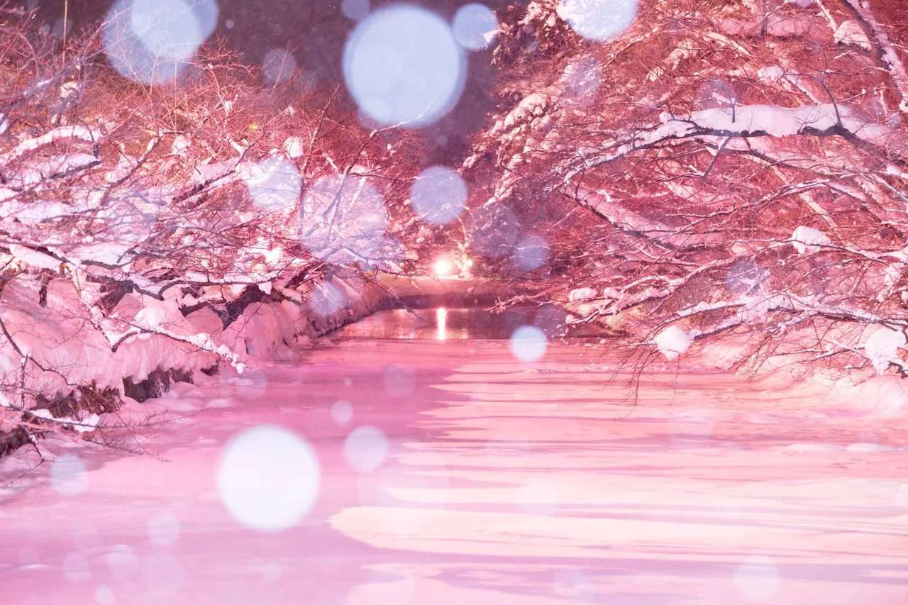 Dec 1 – Feb 28Winter Sakura Light-up (Fuyu ni Saku Sakura)
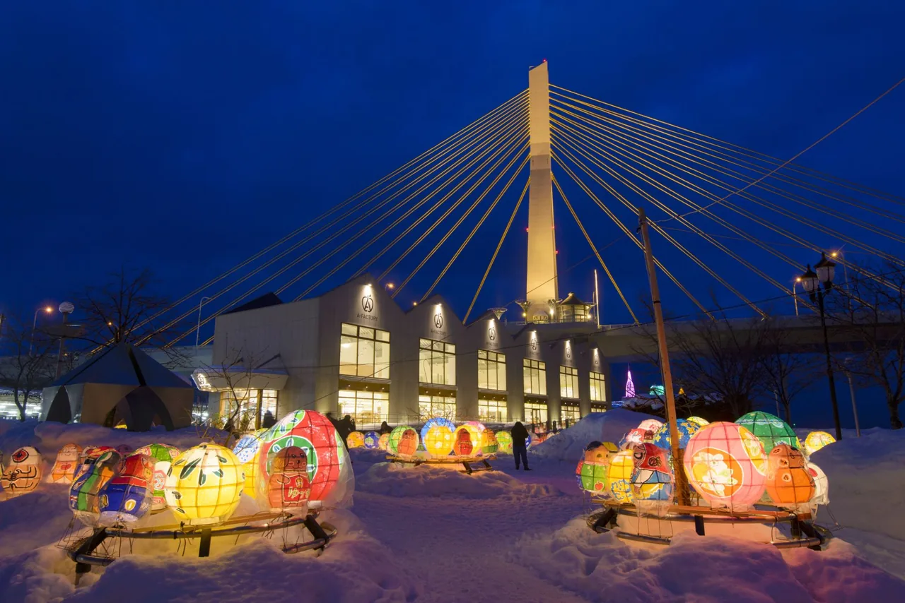 Dec 12 – Feb 15Aomori Akari to Kami Pageant (Light and Paper Pageant)
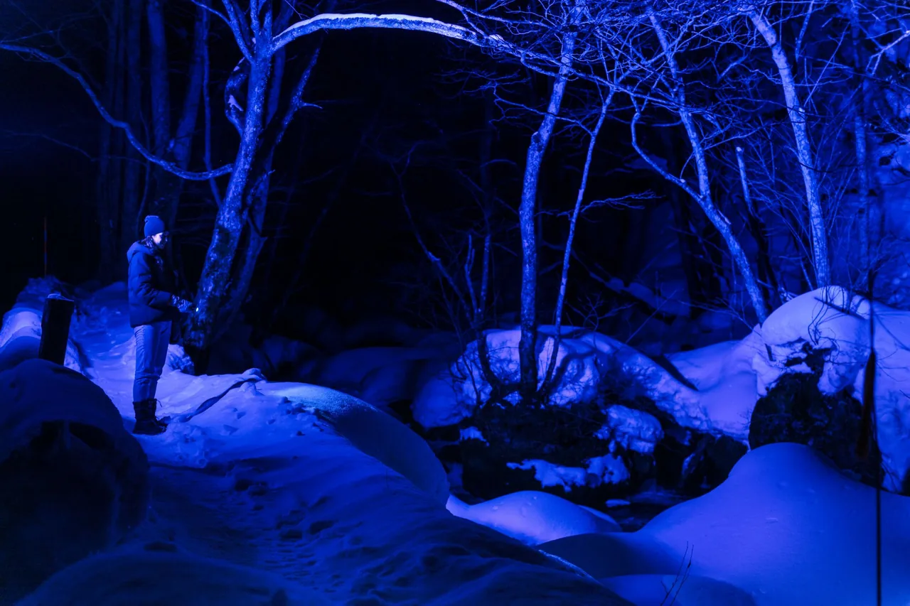 Dec 25 – Feb 28Oirase Gorge Ice Falls Night Tour
Find on the map
This page is translated from the Japanese edition. Read the Japanese edition
What is the area like?
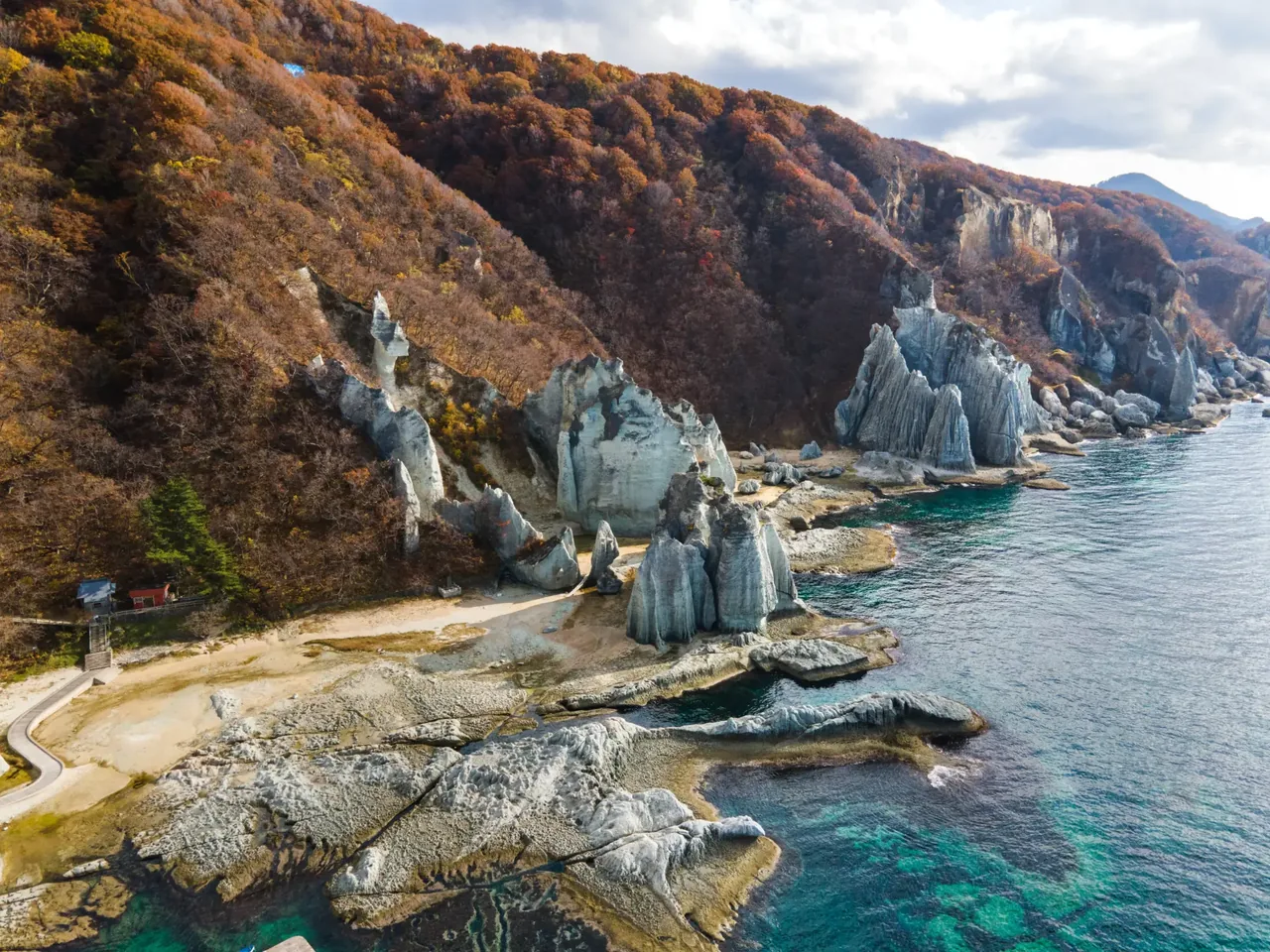
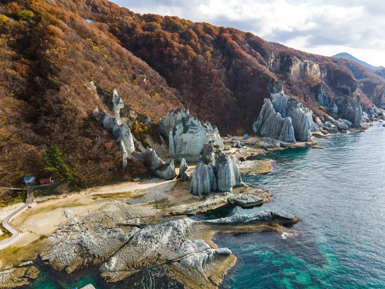
As the boat from Sai Port heads south along a coast of sheer cliffs, a cove comes into view where pale towers of rock rise one after another from the shore. This is Hotokegaura, in Sai Village on the west coast of the Shimokita Peninsula. White and soft-green rocks stand along the shore for about 2 km from north to south, and on a clear day they stand out sharply against the blue sea.
Many of the rocks are named after Buddhist figures, which is how the place got its name, Hotokegaura, or "Buddha's Bay". In 1941 it was designated a national Place of Scenic Beauty and Natural Monument (under the name Hotoke-uta), and it is also part of Shimokita Hanto Quasi-National Park.
There is no town nearby, only forested mountains behind the shore. The base for visitors is central Sai Village and Sai Port to the north. Continue north from Sai along the coast and you reach Oma, the northernmost point of Honshu.
Main sights
Hotokegaura
The rocks along the shore have long been likened to Buddhist statues and ritual objects. Starting with Nyorai no Kubi ("Head of the Buddha"), there are the Thirteen Buddhas, the Five Hundred Arhats, Hitotsu-botoke, Oyako-iwa, Kannon-iwa, Tenryu-iwa, Renge-iwa, Jizo-iwa and Gokuraku-iwa, nearly all named after Buddhist figures. Looking up from the water's edge, the row of tall rocks resembles the halls of a great temple.
The rock is tuff, formed from volcanic ash that hardened and turned green. After the land rose out of the sea, currents, wind, rain and winter frost slowly wore it down into the shapes you see today.
If you arrive by sightseeing boat, you can go ashore and walk among the rocks. See Hotokegaura for more.
Food and shopping
There are no restaurants or shops at Hotokegaura. Bring water and snacks with you.
At Sai Port, where the sightseeing boats leave, Arsas (Tsugaru Kaikyo Bunkakan), the village's tourism hub, has a tourist information desk and a shop selling local products. The shop closes for part of the winter, so check ahead if you are visiting then.
Getting there
- Sightseeing boat: Boats run by Sai-mura Teiki Kanko and Hotokegaura Kaijo Kanko leave from Sai Port (Arsas) and reach Hotokegaura in about 40 minutes heading south. Check the operating season, times and weather cancellations with Sai Village or the boat operators before you go.
- By car: About 50 minutes from Arsas on Route 338. From the car park it is a steep walk down to the shore, and the same climb back up.
- To Sai Port: From Shimokita Station on the JR Ominato Line, the Shimokita Kotsu bus (Mutsu–Sai Line, bound for Sai Shako) runs via Oma to Sai. Buses are infrequent, so check Shimokita Kotsu for times. From Hokkaido, you can also take the Tsugaru Kaikyo Ferry from Hakodate to Oma Port.
Getting around the area
If you are not confident about the steep path, take the sightseeing boat. You also get to see the cliff-lined coast on the way. Rough seas can cancel sailings or landings, so leave some slack in your schedule.
Sai is a long way from Shimokita Station, and a day trip by bus is a rush. It works better to combine it with the northernmost-point marker at Cape Oma and stay overnight in Oma, Sai or one of the hot spring towns along the strait. For the peninsula as a whole, see our Shimokita Peninsula guide; the monkey park at Wakinosawa in the southwest has its own page.