
Cape Tappi

Areas of Aomori
Cape Tappi
Cape Tappi on the Tsugaru Peninsula: the 362-step stairway highway, the lighthouse, the Seikan Tunnel Museum, and how to get there now that trains stop short of Minmaya.
 Dec 1 – Feb 28Winter Sakura Light-up (Fuyu ni Saku Sakura)
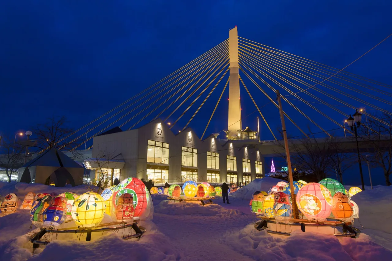 Dec 12 – Feb 15Aomori Akari to Kami Pageant (Light and Paper Pageant)
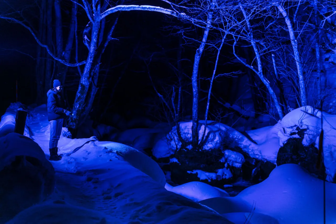 Dec 25 – Feb 28Oirase Gorge Ice Falls Night Tour
Find on the map
Choose a numbered circle to zoom in there; choose a name to open the area's page.
This page is translated from the Japanese edition. Read the Japanese edition
What is the area like?
Cape Tappi, in the town of Sotogahama at the northern tip of the Tsugaru Peninsula, juts out into the Tsugaru Strait. Hokkaido is only about 19.5 kilometers away, and on clear days you can see the far shore. The Seikan Tunnel runs beneath the strait, and a museum next to the cape tells the story of how it was built.
On top of the cape, a lighthouse, walking paths, a monument to the writer Dazai Osamu and another to the song "Tsugaru Kaikyo Fuyugeshiki" are all within walking distance of each other. The wind off the sea is often strong, so bring an extra layer even in summer.
Head east along the strait and you reach Imabetsu & Cape Takano, where two bridges cross to the rocks. For the whole peninsula, see our Tsugaru Peninsula guide.
Main sights
Cape Tappi and the stairway highway
The star attraction of Cape Tappi is the "stairway highway" on National Route 339. From the village below the cape to near the lighthouse, the road becomes 362 steps, and no vehicle can use it. A national highway you can only walk is something you will hardly find anywhere else. With that many steps, leave yourself plenty of time and energy, going up or down.
On the heights of the cape stands the white Tappizaki Lighthouse, first lit in 1932. The tower is 14 meters tall and was chosen as one of Japan's 50 best lighthouses. Along the path around the cape is Tatsumi Bridge, lined with dragon sculptures, where you get another angle on the waves breaking on the rocks and on the strait.
Seikan Tunnel Museum
This museum covers the history of building the Seikan Tunnel. The "Mogura-go" cable car takes about seven minutes to descend to an underground gallery 140 meters below sea level, where you can walk through tunnels used during the actual construction.
The museum opens only from spring to autumn. In 2026, regular opening ran from April 17 to November 3; after that, only the exhibition hall stays open until November 30. Check opening periods and hours on the Seikan Tunnel Museum's official website.
Food and shopping
The Seikan Tunnel Museum has a restaurant and a shop during its open season. If you visit in winter or another time when the museum is closed, bring food and drinks with you.
Getting there
- By car: National Route 339 takes you to the cape. The Tappaku Line section of Route 339, which comes up to the cape from the Sea of Japan side, is closed in winter (usually from early November to around mid-April).
- By rail and bus: no trains have run between Kanita and Minmaya on the JR Tsugaru Line since heavy rain damaged the track in August 2022. Replacement buses and the "Wantaku" shared taxi now run from Kanita Station toward Minmaya, and from Minmaya Station a Sotogahama town bus goes to Tappizaki Lighthouse. The railway on this section is due to be abolished on April 1, 2027, and replaced by buses and other road transport. Services are infrequent, so check times on Sotogahama Town's public transport page before you go.
Getting around the area
Public transport is infrequent and connections take time. To see Cape Tappi and Cape Takano in one day, a rental car is the realistic choice. When the Tappaku Line is open, you can loop right around the Tsugaru Peninsula, combining the cape with Lake Jusan on the Sea of Japan side and Kanagi.
The cape is windy, and the stairway highway gets slippery in the rain. Wear shoes with good grip and keep a hand on your hat.