
Hakkoda
Areas of Aomori
Hakkoda
Hakkoda sightseeing south of Aomori City: the ropeway, autumn leaves and winter snow monsters, Jigoku-numa, Suiren-numa, Jogakura Bridge, and buses and winter roads.
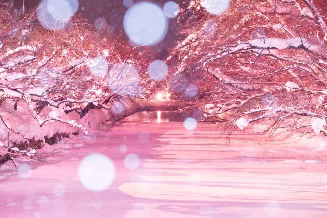 Dec 1 – Feb 28Winter Sakura Light-up (Fuyu ni Saku Sakura)
 Dec 12 – Feb 15Aomori Akari to Kami Pageant (Light and Paper Pageant)
 Dec 25 – Feb 28Oirase Gorge Ice Falls Night Tour
Find on the map
This page is translated from the Japanese edition. Read the Japanese edition
What is the area like?
About an hour south of Aomori Station by bus, the road climbs until the Hakkoda mountains appear beyond the beech forest. Hakkoda is not the name of a single peak but of a group of volcanoes led by Mt. Odake, and it is still an active volcano under constant watch by the Japan Meteorological Agency.
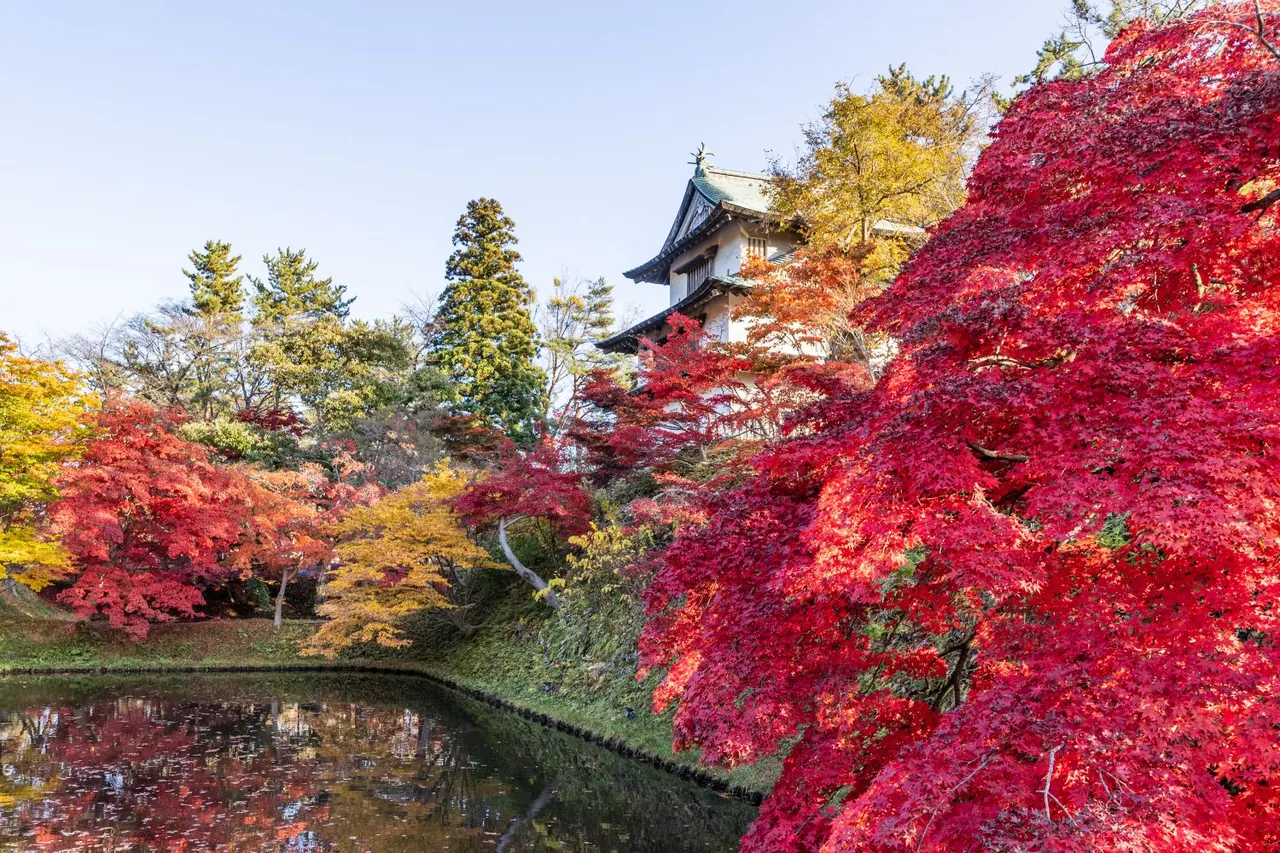
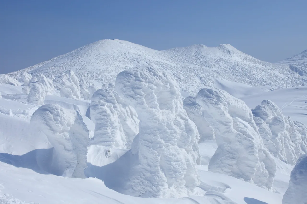
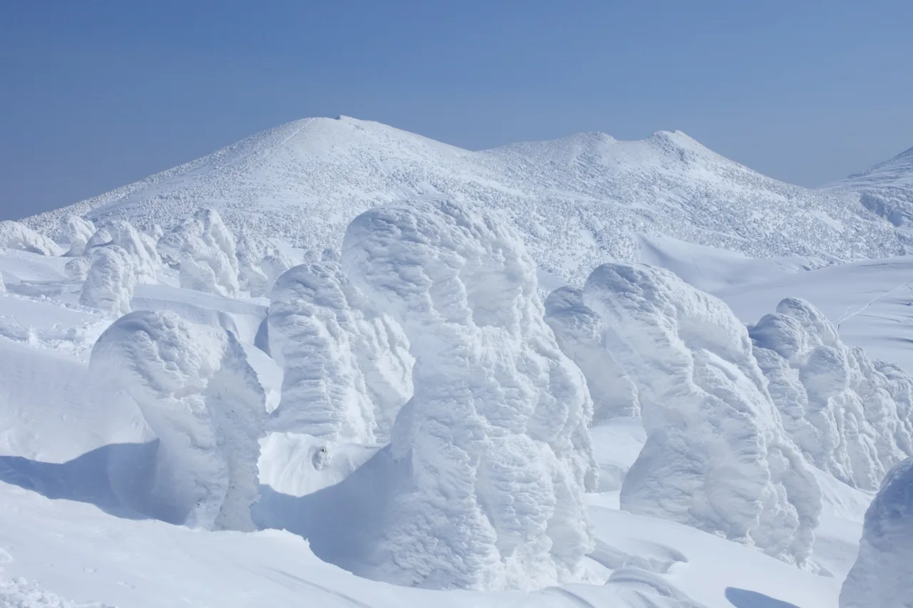
The main draw is the Hakkoda Ropeway, which climbs from the base station to Sancho Koen (summit park) Station in about 10 minutes. From the gondola windows you look down on autumn foliage in fall and, in winter, on trees encased in ice and snow. Scattered around the foothills are Jigoku-numa, a steaming pond fed by hot springs; Suiren-numa, open to the sky in a wetland; and Jogakura Bridge, which crosses the Jogakura Gorge in a single arch. You can tour them by car.
Cross Hakkoda to the south and you reach Oirase & Tsuta, home to Tsuta-numa and the Oirase Gorge, and beyond that Lake Towada. In winter, though, the road over the mountains closes, and what you can reach changes a great deal.
Main sights
Hakkoda Ropeway and the snow monsters
The ropeway links the base station and Sancho Koen Station in about 10 minutes. In winter, wind drives ice and snow onto the trees until they swell into huge rime-ice forms known as "snow monsters." They are at their best in January and February. The autumn leaves usually run from late September to late October, starting near the summit; the best time to see them from the ropeway is around October 10.
Service can change with the weather, so check the operating status on the Hakkoda Ropeway official site before you go. The summit in winter is cold and windy, so even if you aren't skiing, dress for a snowy mountain with gloves, a hat and waterproof shoes. See Hakkoda (Ice Monsters and Hakkoda Ropeway).
Jigoku-numa Pond
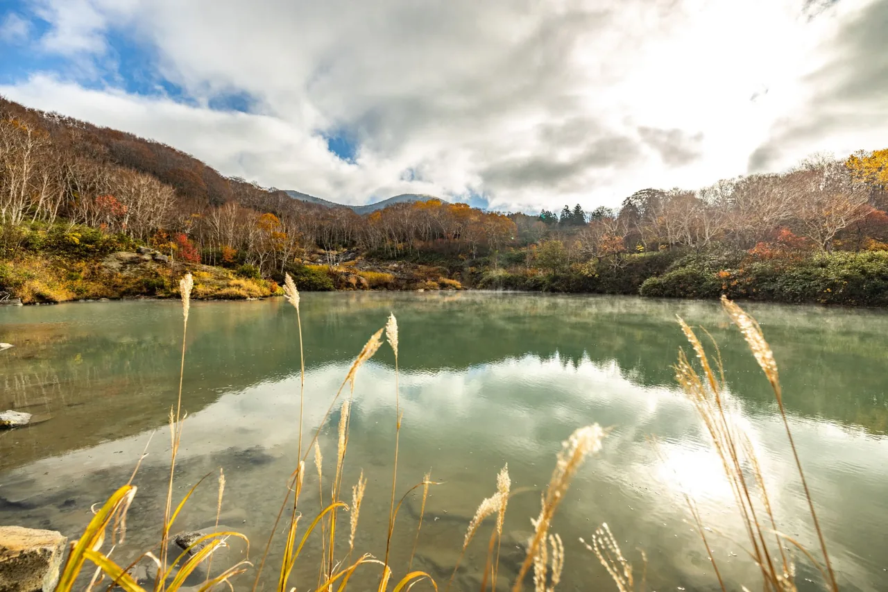
A crater lake near Sukayu Onsen, formed in Hakkoda's later volcanic activity. From the far shore, strongly acidic hot spring water at about 90°C pours in at 2,700 liters a minute, and the colder the season, the more steam rises from the surface. According to the Japan Meteorological Agency, the three most recent eruptions in the Kita-Hakkoda volcanoes were all steam explosions at this pond.
Fumaroles and volcanic gas are still active around it, and volcanic gas has caused fatal accidents in the Hakkoda foothills. Stay on the paths and at the viewpoints, and keep out of hollows and long grass. See Jigoku-numa Pond.
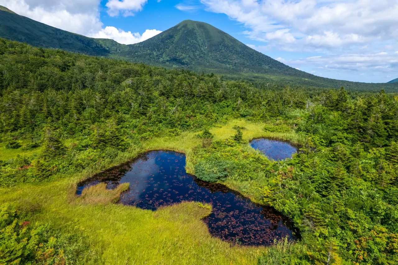
Suiren-numa Pond
A pond in a wetland along National Route 103. With few tall trees, the view opens up, and on clear days the Hakkoda peaks line up behind the water. It is one of the Hakkoda wetlands that Japan's Ministry of the Environment lists as important wetlands, and in summer Ezo-no-hitsujigusa water lilies grow here. On still autumn days the colored mountains and sky are mirrored in the water. The road past the pond closes in winter, and the pond can't be reached then. See Suiren-numa Pond.
Jogakura Bridge
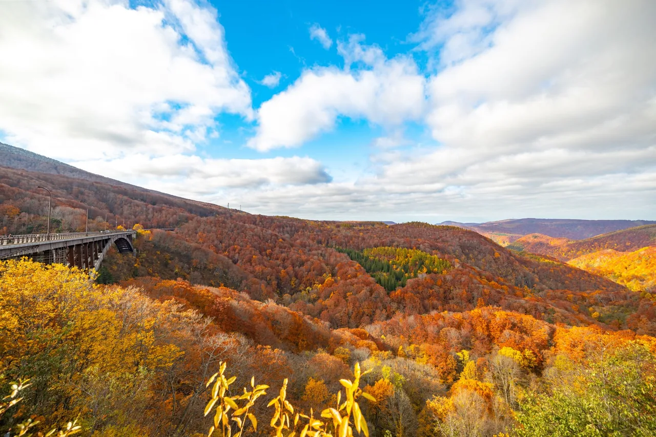
On the west side of Hakkoda, National Route 394 crosses the Jogakura Gorge on this 360-meter bridge with a 255-meter arch span, one of Japan's leading deck arch bridges. From the sidewalk you look down 122 meters into the gorge, and on a clear day you can see the Hakkoda peaks, Mt. Iwaki beyond the Tsugaru Plain, and downtown Aomori. In autumn crowds come for the foliage filling the valley and the parking lots fill up, so go in the morning to take it in calmly. The trail down into the gorge has been closed since an accident in 2000, so enjoy the view from the bridge. See Jogakura Bridge.
Food and shopping
This is mountain country, with nowhere that shops cluster. Pick up snacks and drinks in Aomori City, and a change of plans due to weather won't leave you stuck. Aomori food is covered in Aomori local food.
Getting there
- By bus: JR Bus Tohoku route buses run from Aomori and Shin-Aomori stations toward Hakkoda, the Oirase Gorge and Lake Towada. It takes about 1 hour to 1 hour 20 minutes from Aomori Station to the Hakkoda Ropeway-eki-mae stop. In winter, buses from Aomori and Shin-Aomori run only as far as Sukayu Onsen, and some need a reservation. Check stops and times on the JR Bus Tohoku official site.
- By car: Drive south from Aomori City up into the mountains. In winter, Route 103 is closed between Sukayu and Yachi, and Route 394, which crosses Jogakura Bridge, closes at night. Driving here in winter assumes you are used to snowy roads.
Getting around the area
Outside the snow season, you can climb from Aomori City to Hakkoda, stop at the ropeway, Jigoku-numa and Suiren-numa, and carry on south to Oirase & Tsuta or Lake Towada. Jogakura Bridge is on Route 394, so it's a short detour. Roads get congested in the foliage season, so leave plenty of time.
In winter the road over the mountains is closed, so plan on a round trip to Hakkoda from the Aomori City side. To see the snow monsters, ride the ropeway to Sancho Koen Station. It can stop running in bad weather, so build some slack into your schedule.
Asian black bears live in the forest, and in 2026 Aomori Prefecture has a bear warning in effect from April 20 to November 30. Check the latest information before you walk. If you are hiking, also look at the Japan Meteorological Agency's volcano information for Mt. Hakkoda. For what each season offers, see Lake Towada, Oirase and Hakkoda, Aomori's autumn leaves and Aomori in winter.
Sights in Hakkoda
Aomori guides
See all
More areas of Aomori
- Aomori City
- Komakino
- Natsudomari Peninsula
- Oirase & Tsuta
- Lake Towada
- Hirosaki
- Mt. Iwaki
- Kuroishi & Inakadate
- Goshogawara & Tsuruta
- Kanagi
- Tsugaru
- Cape Tappi
- Imabetsu & Cape Takano
- Shirakami-Sanchi (Nishimeya)
- Juniko
- Fukaura
- Hachinohe
- Tanesashi Coast & Kabushima
- Misawa
- Mutsu
- Osorezan
- Wakinosawa
- Hotokegaura
- Oma
- Cape Shiriya